
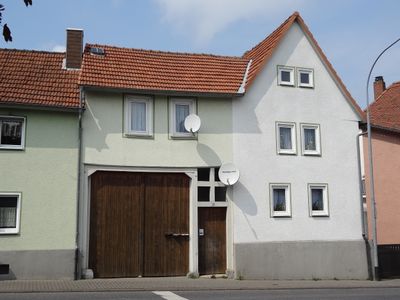
Gießener Straße 50, Cultural heritage monument in Watzenborn-Steinberg, Hesse, Germany
Location: Pohlheim
Address: Gießener Straße
GPS coordinates: 50.53594,8.70805
Latest update: March 10, 2025 07:51
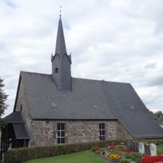
Alte Kirche Watzenborn-Steinberg
519 m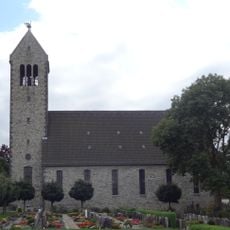
Evangelische Kirche Watzenborn-Steinberg
507 m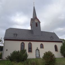
Evangelische Kirche Hausen
2.2 km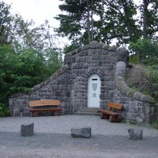
Wasserhaus
2.2 km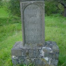
Barbarenstein
2 km
Jüdischer Friedhof
1.3 km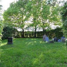
Jüdischer Friedhof (Leihgestern)
1.8 km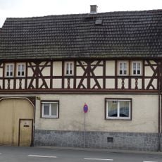
Alte Gießener Straße 16
2.2 km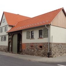
Hauptstraße 47
2.1 km
Hubertusstraße 33
766 m
Schule
478 m
Hubertusstraße 14
777 m
Zur Aue 10
704 m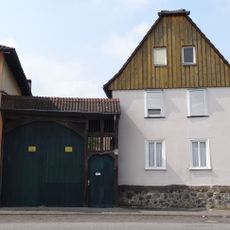
Gießener Straße 44
36 m
Brunnenweg 7
716 m
Hubertusstraße 22
775 m
Bahnhofstraße 33
891 m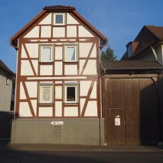
Kreuzplatz 1
806 m
Bahnhofstraße 31
860 m
Zur Aue 8
714 m
Gießener Straße 36
99 m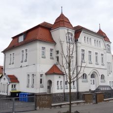
Ehemalige Schule
2.1 km
Hauptstraße 28
2.3 km
Hauptstraße 29
2.2 km
Hauptstraße 42
2.2 km
Schulgasse 1
2.3 km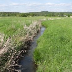
Lückebachaue
871 m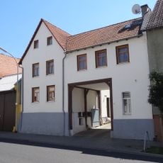
Hauptstraße 25
2.2 kmReviews
Visited this place? Tap the stars to rate it and share your experience / photos with the community! Try now! You can cancel it anytime.
Discover hidden gems everywhere you go!
From secret cafés to breathtaking viewpoints, skip the crowded tourist spots and find places that match your style. Our app makes it easy with voice search, smart filtering, route optimization, and insider tips from travelers worldwide. Download now for the complete mobile experience.

A unique approach to discovering new places❞
— Le Figaro
All the places worth exploring❞
— France Info
A tailor-made excursion in just a few clicks❞
— 20 Minutes