
Kirche Crinitztalstraße -, church building in Crinitzberg, Germany
Location: Crinitzberg
Inception: 1716
Address: Crinitztalstraße -
GPS coordinates: 50.57252,12.48551
Latest update: May 9, 2025 15:07
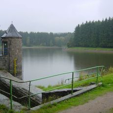
Talsperre Wolfersgrün
5.6 km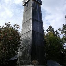
Steinberg bei Wernesgrün
3.5 km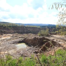
Kirchberger Granit
3.1 km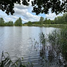
Hauptteich Hartmannsdorf
3.7 km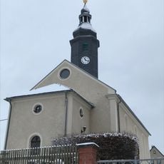
Johanniskirche
4.7 km
Wohnhaus Stangengrüner Straße 5
5.7 km
Denkmal für die Gefallenen des 1. Weltkrieges Hauptstraße 43 (bei)
4.6 km
Moorgebiet Moosheide Obercrinitz
2 km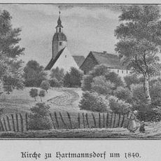
Evangelische Pfarrkirche Hartmannsdorf
5 km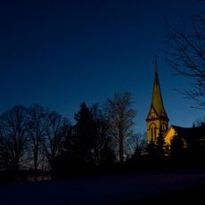
Kirche Blumenweg 6
3.1 km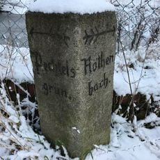
Wegestein Plohn
5.9 km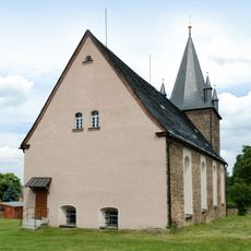
St. Marien
2.9 km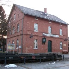
Rothenkirchen (Vogtl) train station
4 km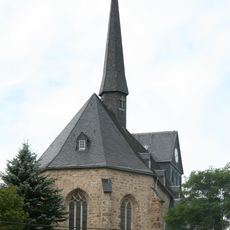
Michaeliskirche
5.7 km
Fabrikbau einer Textilfabrik Auerbacher Straße 166
5.5 km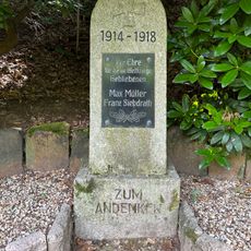
Denkmal für die Gefallenen des 1. Weltkrieges Giegengrün -
2.7 km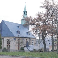
Kirche Kirchweg 2
3.5 km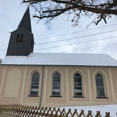
Kirche Plohner Hauptstraße
5.8 km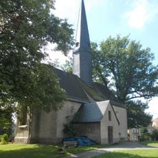
Eiche neben der Kirche in Niederschindmaas
4.4 km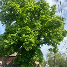
Kastanie Wolfersgrün
3.4 km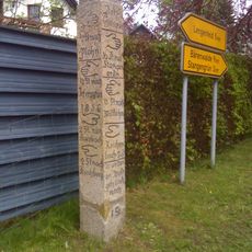
Wegweiserstein
5.6 km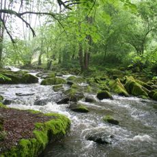
Crinitzer Wasser und Teiche im Kirchberger Granitgebiet
5.8 km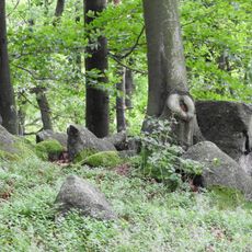
Crinitzberg
2.3 km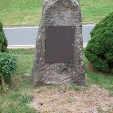
Gedenkstein für die Gefallenen des 1. Weltkrieges Irfersgrüner Straße 2 (gegenüber)
2.9 km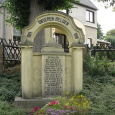
Kriegerdenkmal Pechtelsgrüner Hauptstraße 22 (neben)
5.5 km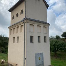
Transformatorenturm Leutersbach
4 km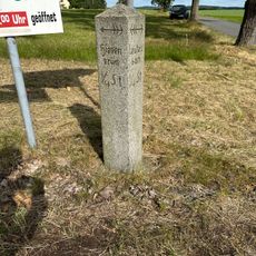
Wegestein Hartmannsdorf b. Kirchberg
4 km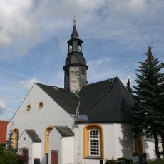
Evangelische Pfarrkirche Hartmannsdorf
5 kmReviews
Visited this place? Tap the stars to rate it and share your experience / photos with the community! Try now! You can cancel it anytime.
Discover hidden gems everywhere you go!
From secret cafés to breathtaking viewpoints, skip the crowded tourist spots and find places that match your style. Our app makes it easy with voice search, smart filtering, route optimization, and insider tips from travelers worldwide. Download now for the complete mobile experience.

A unique approach to discovering new places❞
— Le Figaro
All the places worth exploring❞
— France Info
A tailor-made excursion in just a few clicks❞
— 20 Minutes