
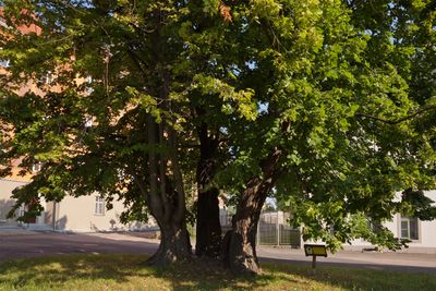
Linde Chemnitzer Straße, Linde, erinnert an die Belagerung Freibergs im Dreißigjährigen Krieg; ortsgeschichtlich bedeutend
Location: Freiberg
Inception: 1658
Address: Chemnitzer Straße
GPS coordinates: 50.90899,13.31823
Latest update: March 5, 2025 02:19
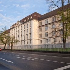
König-Friedrich-August-Kaserne (Freiberg)
361 m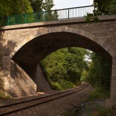
Brücke Waltersdorfer Weg
408 m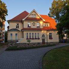
Villa Forstweg 69
923 m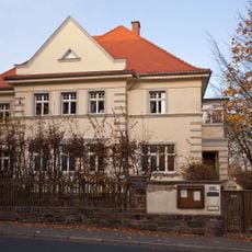
Villa Anton-Günther-Straße 42
594 m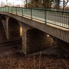
Eisenbahn-Brücke Brückenstraße
546 m
Anlage eines Kasernenkomplexes Chemnitzer Straße 44; 46; 48; 50; 50a
427 m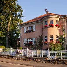
Villa Johann-Sebastian-Bach-Straße 12
1.1 km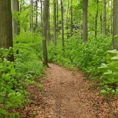
Naturnahe Waldzelle Abt.11 Hospitalwald
281 m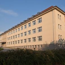
Institutsgebäude Chemnitzer Straße 40
584 m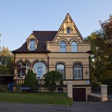
Villa Johannisstraße 22
718 m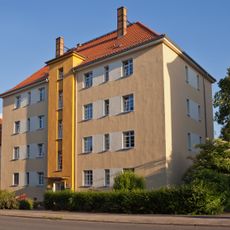
Wohnhaus Chemnitzer Straße 47
934 m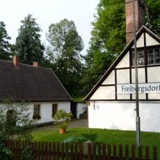
Freibergsdorfer Hammerwerk Hammerweg 4
633 m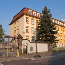
Kasernengebäude Brückenstraße 1
444 m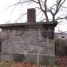
Station 36 Freiberg
968 m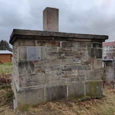
Vermessungsstein Forstweg
968 m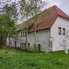
Rittergut Freibergsdorf
520 m
Wohnhaus Goldbachweg 3
735 m
Wohnhaus Ziegelgasse 22
1 km
Mühlengebäude (ehem.) Goldbachweg 37
347 m
Gasthof Chemnitzer Straße 135
192 m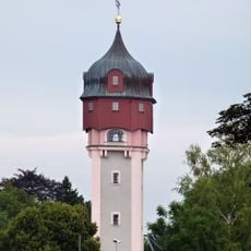
Wasserturm Freiberg
185 m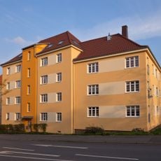
Wohnblock Chemnitzer Straße 61
798 m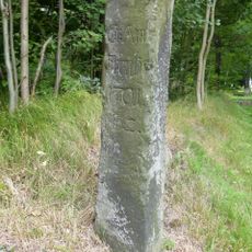
Stadtbegrenzungssäule Kleinschirmaer Straße
756 m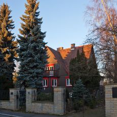
Wohnhaus Richard-Wagner-Straße 12
892 m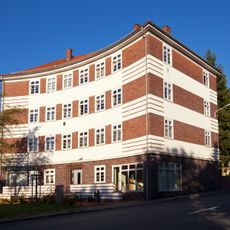
Wohnhaus Chemnitzer Straße 43
991 m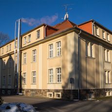
Kasernengebäude Wohnpark Gentilly 19/20
220 m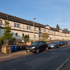
Reihenhäuser Goldbachweg 27; 29; 31; 33; 35
467 m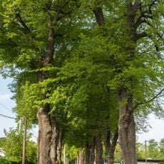
Lindenallee Claußallee
791 mReviews
Visited this place? Tap the stars to rate it and share your experience / photos with the community! Try now! You can cancel it anytime.
Discover hidden gems everywhere you go!
From secret cafés to breathtaking viewpoints, skip the crowded tourist spots and find places that match your style. Our app makes it easy with voice search, smart filtering, route optimization, and insider tips from travelers worldwide. Download now for the complete mobile experience.

A unique approach to discovering new places❞
— Le Figaro
All the places worth exploring❞
— France Info
A tailor-made excursion in just a few clicks❞
— 20 Minutes