
Steinkreuz, frühneuzeitliches oder mittelalterliches Mord- und Sühnekreuz, ortshistorische Bedeutung
Location: Klipphausen
Inception: 1401
GPS coordinates: 51.13092,13.48563
Latest update: March 27, 2025 02:52

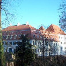
Castle Siebeneichen
2 km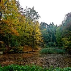
Küchengrund Siebeneichen
1.9 km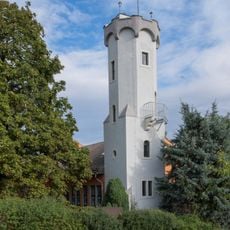
Bosel Tower
2.2 km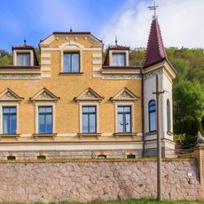
Sörnewitz Dresdner Straße 342
2 km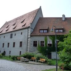
Schloss Batzdorf
840 m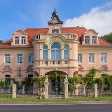
Sörnewitz Dresdner Straße 344; 346
1.9 km
Sörnewitz Dresdner Straße 326
2.4 km
Sörnewitz Dresdner Straße 317
2.4 km
Bosel
2.2 km
Platane Siebeneichen
2 km
Kapelle Polenz
2.4 km
Sörnewitz Boselweg 8a
2.4 km
Sörnewitz Dresdner Straße 332
2.3 km
Sörnewitz Boselweg 2
2.4 km
Totenhäusel
1.3 km
Wohnstallhaus Alte Silberstraße 22
2.3 km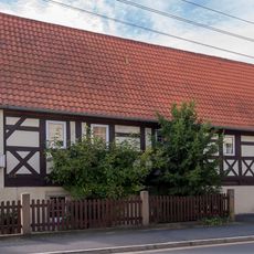
Sörnewitz Dresdner Straße 315
2.4 km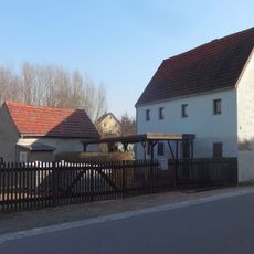
Wohnhaus und Stallgebäude eines Häusleranwesens Zum Lindenhof 6
1.9 km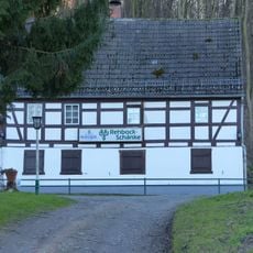
Rehbockschänke (Gasthaus mit seitlichem Anbau) Rehbocktal 5
1.3 km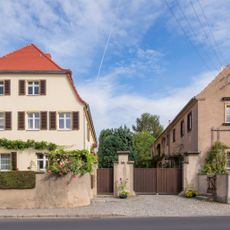
Sörnewitz Dresdner Straße 328
2.4 km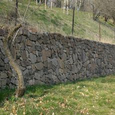
Einfriedungsmauern der Weinberge, Boselweg
2.4 km
Sörnewitz Dresdner Straße 334
2.3 km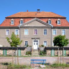
Herrenhaus Oberpolenz
2.4 km
Dresdner Straße 72 (Niederspaar)
2.3 km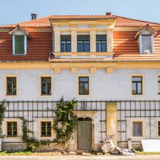
Sörnewitz Dresdner Straße 350
1.8 km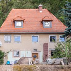
Sörnewitz Dresdner Straße 348
1.9 km
Elblache Sörnewitz
2.3 km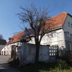
Wohnstallhaus, Seitengebäude (mit Kumthalle) und Scheune eines Dreiseithofes sowie Torpfeiler Zum Lindenhof 3
1.8 kmReviews
Visited this place? Tap the stars to rate it and share your experience / photos with the community! Try now! You can cancel it anytime.
Discover hidden gems everywhere you go!
From secret cafés to breathtaking viewpoints, skip the crowded tourist spots and find places that match your style. Our app makes it easy with voice search, smart filtering, route optimization, and insider tips from travelers worldwide. Download now for the complete mobile experience.

A unique approach to discovering new places❞
— Le Figaro
All the places worth exploring❞
— France Info
A tailor-made excursion in just a few clicks❞
— 20 Minutes