
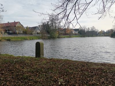
Teichständer Unterer Dorfteich
Teichständer Unterer Dorfteich, Wassertechnisch von Bedeutung
Location: Wachau, Saxony
Inception: 1850
Address: Teichstraße (Unterer Dorfteich)
GPS coordinates: 51.16436,13.90660
Latest update: March 7, 2025 07:10
Schloss Seifersdorf
1.7 km
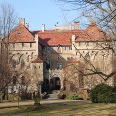
Schloss Wachau
655 m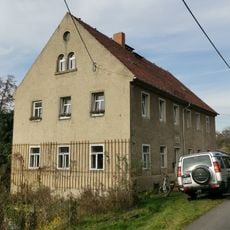
Philipp-Mühle, Mühlweg 2
373 m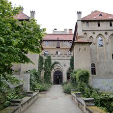
Seifersdorf manor, palace and palace park (property) Tina-von-Brühl-Straße 31, 33 (Wachauer Straße 1)
1.7 km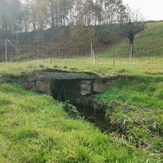
Brückensteg über Orla am Mühlweg
437 m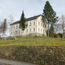
Hauptstraße 120
155 m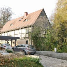
Teichstraße 41a
47 m
Schloss und Schlosspark Wachau (Sachgesamtheit) Am Schloß 1
798 m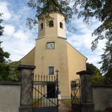
Kirche Wachau
744 m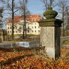
Gedenkstein
718 m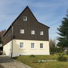
Teichstraße 17
346 m
Hauptstraße 52, Gasthof
982 m
Hauptstraße 86
413 m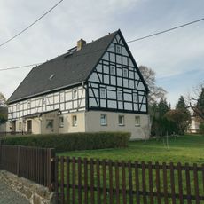
An der Orla 41
963 m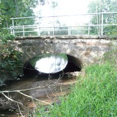
Zwei Straßenbrücken über die Kleine Röder (Große Röder) Wachauer Straße (an der Gemarkungsgrenze zu Wachau)
1.6 km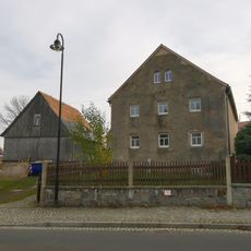
Hauptstraße 94
320 m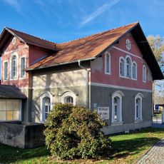
Municipal office (today); forester's lodge Hauptstraße 53
577 m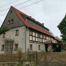
Hauptstraße 22
1.4 km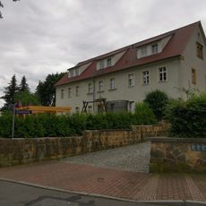
Schule, An der Orla 49
862 m
Hauptstraße 82
470 m
Teichstraße 29
176 m
Teichstraße 35
110 m
An der Orla 39
977 m
An der Orla 31
1.1 km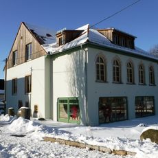
Gasthof „Zum treuen Hund“ Schönborner Weg 1
1.7 km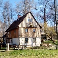
Wachauer Straße 1
1.7 km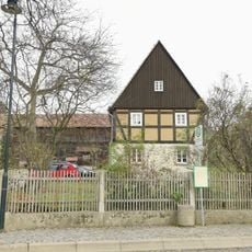
Hauptstraße 54
947 m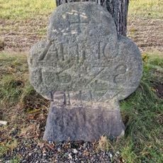
Stone cross 1678
1.5 kmReviews
Visited this place? Tap the stars to rate it and share your experience / photos with the community! Try now! You can cancel it anytime.
Discover hidden gems everywhere you go!
From secret cafés to breathtaking viewpoints, skip the crowded tourist spots and find places that match your style. Our app makes it easy with voice search, smart filtering, route optimization, and insider tips from travelers worldwide. Download now for the complete mobile experience.

A unique approach to discovering new places❞
— Le Figaro
All the places worth exploring❞
— France Info
A tailor-made excursion in just a few clicks❞
— 20 Minutes