
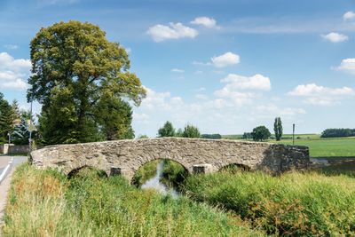
Straßenbrücke Klingenhain, bridge in Germany
Location: Cavertitz
Inception: 1845
Address: Klingenhain
GPS coordinates: 51.38460,13.15191
Latest update: September 23, 2025 16:47
Liebschützer Höhenzug
3.5 km
Quarry at Burschenberg near Cavertitz
2 km
Wegestein Sahlassan
3.5 km
Neues Schloss Cavertitz
1.6 km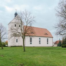
Church Schirmenitz
2.6 km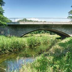
Rundbogenbrücke Cavertitz
1.4 km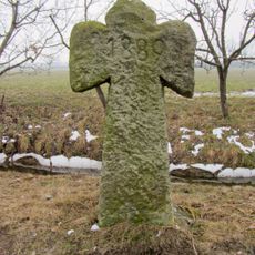
Sühnekreuz Paußnitz
3 km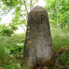
Saxon-Prussian boundary stone Pilar Nr. 5
1.3 km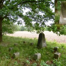
Saxon-Prussian boundary stone Pilar Nr. 6
2.4 km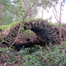
Bogenbrücke Klingenhain
389 m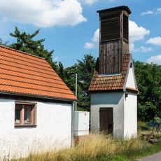
Transformer station Außig
3.5 km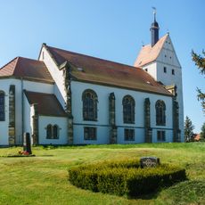
St. Thomas (Paußnitz)
3.5 km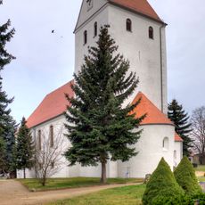
Kirche Laas
2.1 km
Obermühle Klingenhain
172 m
Wegestein Treptitz
2.5 km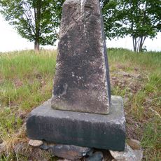
Sächsisch-Preußischer Grenzstein
1.7 km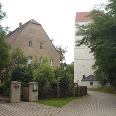
Pfarrhof mit Pfarrhaus, Scheune, Seitengebäude, Torpfosten, Mauer zwischen Hof und Garten sowie Viehtränke Kirchstraße 6
1.4 km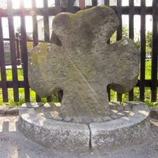
Steinkreuz Laas
2 km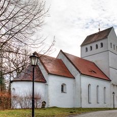
Kirche Cavertitz
1.3 km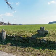
Steinkreuz Hauptstraße -
1.3 km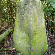
Sächsisch-Preußischer Grenzstein: Pilar Nr. 4 (linkselbisch)
1.1 km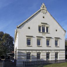
Harzbeckermühle Klingenhain
400 m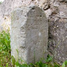
Wegestein Klingenhain
12 m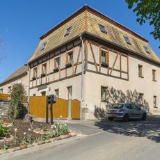
Pfarrweg 1
2.6 km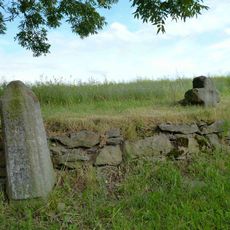
Wegestein Cavertitz
1.3 km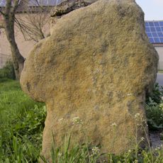
Sühnekreuz
2.3 km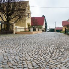
Straßenpflaster Heidestraße
2.4 km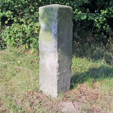
Wegestein Cavertitz
1.5 kmReviews
Visited this place? Tap the stars to rate it and share your experience / photos with the community! Try now! You can cancel it anytime.
Discover hidden gems everywhere you go!
From secret cafés to breathtaking viewpoints, skip the crowded tourist spots and find places that match your style. Our app makes it easy with voice search, smart filtering, route optimization, and insider tips from travelers worldwide. Download now for the complete mobile experience.

A unique approach to discovering new places❞
— Le Figaro
All the places worth exploring❞
— France Info
A tailor-made excursion in just a few clicks❞
— 20 Minutes