
Church in Colmnitz, church building in Klingenberg, Saxony, Germany
Location: Klingenberg
Inception: 1780
Address: Am Sonnenhang -
GPS coordinates: 50.90877,13.49502
Latest update: March 16, 2025 21:45

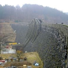
Talsperre Klingenberg
3.8 km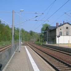
Klingenberg-Colmnitz station
1.9 km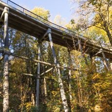
Streichholzbrücke
2.5 km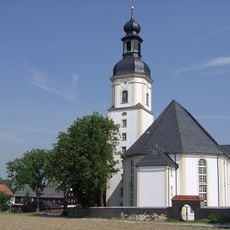
Protestant Church (Pretzschendorf)
4.6 km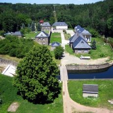
Wasserwerk Klingenberg
3 km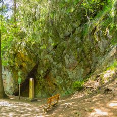
Diebeskammer
3.7 km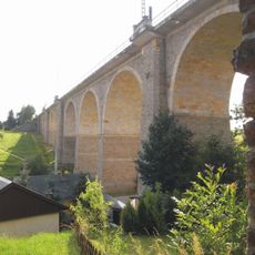
Viadukt Colmnitz
1.1 km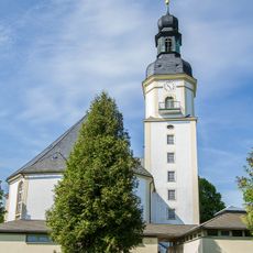
Dorfkirche Pretzschendorf, einschl. Kirchhof, Kriegerdenkmal Zur Kirche 12a
4.6 km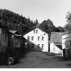
Hosenmühle
3.9 km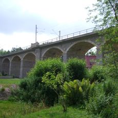
Viadukt Niederbobritzsch
4.3 km
Vordermühle Klingenberg
3.3 km
Rittergut Niederbobritzsch
4.5 km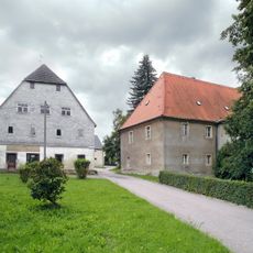
Rittergut Colmnitz
154 m
Schule in historistischen Formen Dorfstraße 9b
4.5 km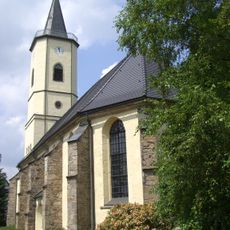
Kirche Niederbobritzsch
4.3 km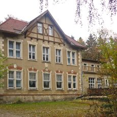
Joseph-Bondi-Haus
2.4 km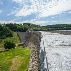
Talsperre Klingenberg (Sachgesamtheit) Klingenberg
3 km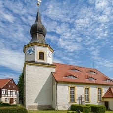
Protestant Church
3 km
Carpinus betulus near Oberbobritzsch
4.1 km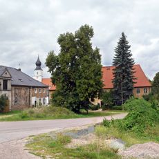
Sachgesamtheit '''Rittergut Colmnitz''' mit den Einzeldenkmalen: Herrenhaus, Wohnhaus, Scheune Am Dorfplatz 3; 3a
154 m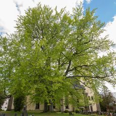
Luther beech in Niederbobritzsch
4.3 km
Hintermühle Klingenberg
3.2 km
Wohnmühlenhaus
3.9 km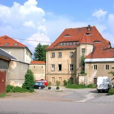
Rittergut Klingenberg
3 km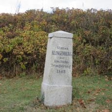
Station 78 Klingenberg
1.7 km
Winkelmühle Dorfhain
4.6 km
Rittergut Pretzschendorf, Wohnhaus Schulgasse 1
4.4 km
Oberes Freiberger Muldetal
3.5 kmReviews
Visited this place? Tap the stars to rate it and share your experience / photos with the community! Try now! You can cancel it anytime.
Discover hidden gems everywhere you go!
From secret cafés to breathtaking viewpoints, skip the crowded tourist spots and find places that match your style. Our app makes it easy with voice search, smart filtering, route optimization, and insider tips from travelers worldwide. Download now for the complete mobile experience.

A unique approach to discovering new places❞
— Le Figaro
All the places worth exploring❞
— France Info
A tailor-made excursion in just a few clicks❞
— 20 Minutes