
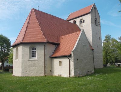
Dorfkirche Radefeld, church building in Schkeuditz, Saxony, Germany
Location: Schkeuditz
Inception: 1201
Address: Am Oberen Anger -
GPS coordinates: 51.42423,12.29677
Latest update: March 4, 2025 14:09

Gustav-Adolf-Kirche Lindenthal
4.3 km
Kirche Wolteritz
4.1 km
Dorfkirche Gerbisdorf
2 km
Dorfkirche Freiroda
1.9 km
Quercus robur at village entrance Gerbisdorf
1.7 km
Ehemaliges Gasthaus Teichblick 2
1.8 km
Berndorfsche Mühle Freiroda
2.5 km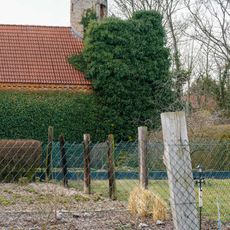
Bismarckturm (Ruine) Am Oberen Anger 16
308 m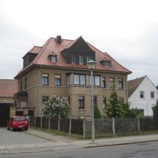
Wohnhaus Lindenthaler Hauptstraße 19
4.3 km
Dorfkirche Hayna
1.2 km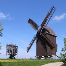
Bockwindmühle Zwochau
4.2 km
Quercus robur on the village square Gerbisdorf
1.8 km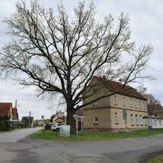
Quercus robur before school Gerbisdorf
1.8 km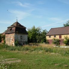
Dove house Hauptstraße 37
1.9 km
Dovecote Mittelstraße 30
1.2 km
Rathausbau Erich-Thiele-Straße 2
4.1 km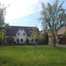
Wohnhaus, Seitengebäude, Hofpflasterung, Toranlage und Einfriedung eines Bauernhofes Am Oberen Anger 9
169 m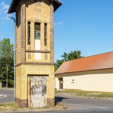
Transformatorenstation Freiroda
2.2 km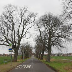
Tilia avenue, Breitenfeld (Leipzig)
4.1 km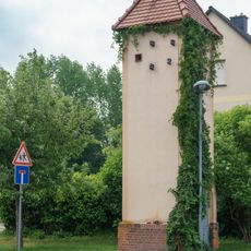
Transformatorenturm Wolteritz
3.8 km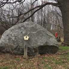
Glacial erratic rock near Birkenholz, Leipzig
3.5 km
Sand pits near Gerbisdorf
2.2 km
Wohnhaus Lindenthaler Hauptstraße 14
4.3 km
Gedenkstätte für die Opfer des Faschismus Straße der 53
3.2 km
Schaufelrad eines Braunkohlebaggers
3.2 km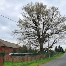
Quercus robur, Am Feldrain Gerbisdorf
1.9 km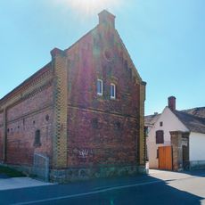
Mühlgut Panthey
1.3 km
Gedenkstein Lindenthaler Hauptstraße 2
4.3 kmReviews
Visited this place? Tap the stars to rate it and share your experience / photos with the community! Try now! You can cancel it anytime.
Discover hidden gems everywhere you go!
From secret cafés to breathtaking viewpoints, skip the crowded tourist spots and find places that match your style. Our app makes it easy with voice search, smart filtering, route optimization, and insider tips from travelers worldwide. Download now for the complete mobile experience.

A unique approach to discovering new places❞
— Le Figaro
All the places worth exploring❞
— France Info
A tailor-made excursion in just a few clicks❞
— 20 Minutes