
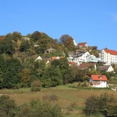
4 Linden beim Abendmahl, Group of treesin Germany
Location: Simmelsdorf
Inception: 1995
GPS coordinates: 49.60530,11.34200
Latest update: March 7, 2025 08:39

Burgruine Osternohe
3.2 km
Talbrücke Schnaittach
3.5 km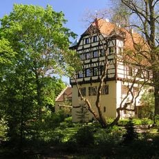
Schlossanlage, sog. Altes Schloss in Simmelsdorf
992 m
Torbau mit Resten einer Burg in Simmelsdorf
2.8 km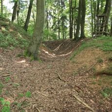
Burgstall Alter Rothenberg
3.1 km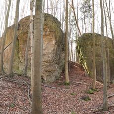
Burgstall Hienberg
1.1 km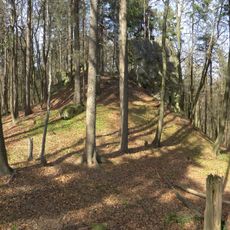
Burgstall Spitzenberg
3.5 km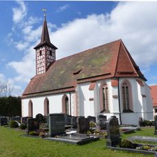
Evang.-Luth. Pfarrkirche zu den 14 Nothelfern in Osternohe
3 km
St. Helena
3.1 km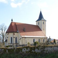
Kath. Pfarrkirche St. Maria in Simmelsdorf
272 m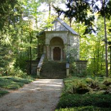
Gruftkapelle der Familie Frhr. von Tucher in Simmelsdorf
1.8 km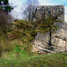
Turm Burgweg 5 (D-5-74-155-147#1)
3.2 km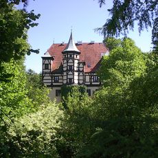
Cultural heritage D-5-6434-0128 in Simmelsdorf
984 m
Mittlelalterliche Befunde in Simmelsdorf
940 m
Mittlelalterliche Befunde in Simmelsdorf
275 m
Abschnittsbefestigung in Simmelsdorf
2.7 km
Bauernhaus
4 km
Mittlelalterliche Befunde in Simmelsdorf
2.8 km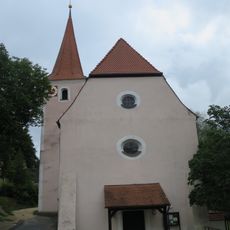
Mittlelalterliche Befunde in Simmelsdorf
3.1 km
Cultural heritage D-5-6334-0047 in Simmelsdorf
3.7 km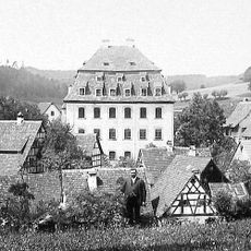
Herrensitz in Simmelsdorf
943 m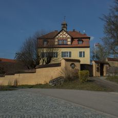
Pfarrhaus in Simmelsdorf
3.7 km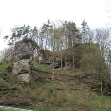
Burgstall in Simmelsdorf
3.3 km
Cultural heritage D-5-6434-0123 in Schnaittach
3.2 km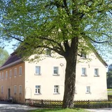
Bauernhaus
4 km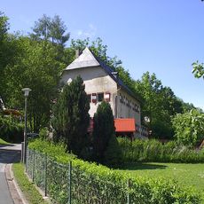
Herrensitz in Simmelsdorf
1.8 km
Ehem. Herrenhaus des Hammergutes in Simmelsdorf
1.8 km
Einfriedung Föhrenanger (D-5-74-158-12#1)
1.8 kmReviews
Visited this place? Tap the stars to rate it and share your experience / photos with the community! Try now! You can cancel it anytime.
Discover hidden gems everywhere you go!
From secret cafés to breathtaking viewpoints, skip the crowded tourist spots and find places that match your style. Our app makes it easy with voice search, smart filtering, route optimization, and insider tips from travelers worldwide. Download now for the complete mobile experience.

A unique approach to discovering new places❞
— Le Figaro
All the places worth exploring❞
— France Info
A tailor-made excursion in just a few clicks❞
— 20 Minutes