
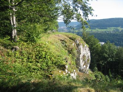
Gebiete um Albstadt, protected area in the European Union defined by the habitats directive in Baden-Württemberg, Germany
Location: Zollernalb
Inception: 2004
Part of: Natura 2000
Shares border with: Reichenbach und Killertal zwischen Hechingen und Burladingen
GPS coordinates: 48.26909,8.98941
Latest update: March 25, 2025 03:28
Pumpwerk Onstmettingen
2 km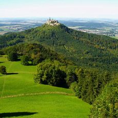
Zeller Horn
4.9 km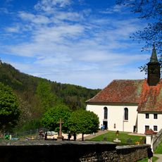
Wallfahrtskirche Maria Zell
5.4 km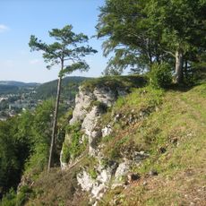
Burg Tailfingen
3.4 km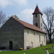
St.-Michaelskirche
5.2 km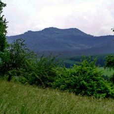
Hundsrücken
4.6 km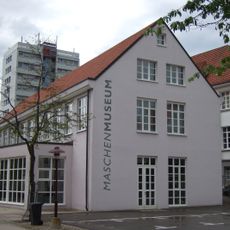
Maschenmuseum
2.5 km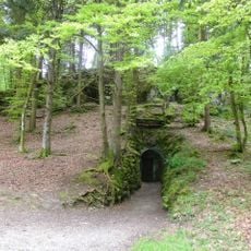
Linkenboldshöhle
3.1 km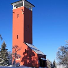
Raichberg Tower
4 km
Burg Wildentierberg
4.7 km
Irrenberg
3.6 km
Weilerburg (Tailfingen)
4.5 km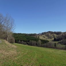
Irrenberg-Hundsrücken
3.8 km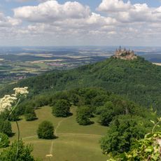
Zellerhornwiese
5 km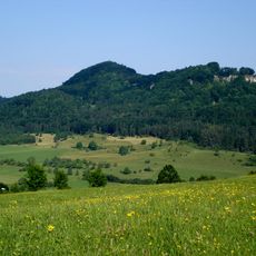
Albstadt-Bitz
2.7 km
Braunhardsberg
2.8 km
Geifitze
2.6 km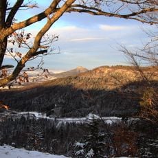
Heiligenkopf
3.8 km
Kugelwäldle
3.9 km
Tailfinger Ried
867 m
Hochberg
2.5 km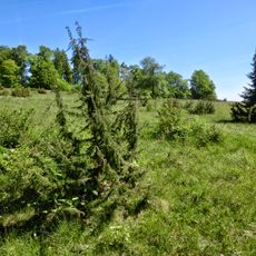
Leimen
3.8 km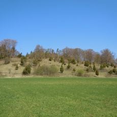
Längenloch
2.2 km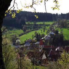
Hundsrücken
3.8 km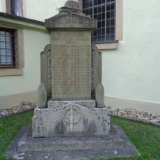
Gefallenendenkmal
5.1 km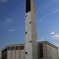
János-templom
2.6 km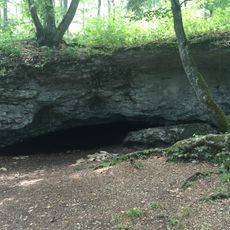
Heidensteinhöhle
5.4 km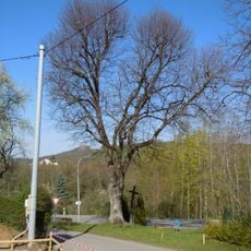
1 Linde
5.1 kmReviews
Visited this place? Tap the stars to rate it and share your experience / photos with the community! Try now! You can cancel it anytime.
Discover hidden gems everywhere you go!
From secret cafés to breathtaking viewpoints, skip the crowded tourist spots and find places that match your style. Our app makes it easy with voice search, smart filtering, route optimization, and insider tips from travelers worldwide. Download now for the complete mobile experience.

A unique approach to discovering new places❞
— Le Figaro
All the places worth exploring❞
— France Info
A tailor-made excursion in just a few clicks❞
— 20 Minutes