
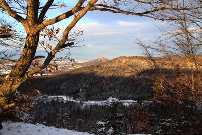
Heiligenkopf, mountain
Location: Baden-Württemberg
Elevation above the sea: 893.1 m
GPS coordinates: 48.29420,8.95553
Latest update: March 2, 2025 23:46
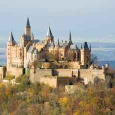
Hohenzollern Castle
3.4 km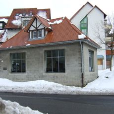
Pumpwerk Onstmettingen
3.6 km
Hohenzollern
3.4 km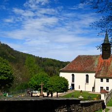
Wallfahrtskirche Maria Zell
3.2 km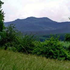
Hundsrücken
2.5 km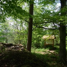
Burg Ror
3.2 km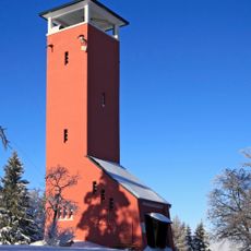
Raichberg Tower
3.1 km
Jagdschloss Friedrichstal
4.9 km
Irrenberg
1.6 km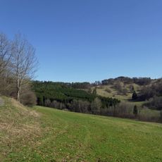
Irrenberg-Hundsrücken
2 km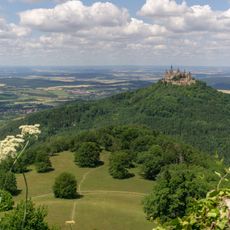
Zellerhornwiese
2.7 km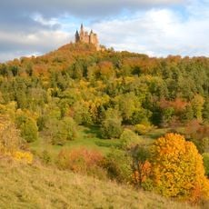
Zollerhalde
3 km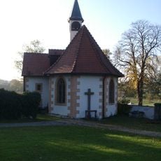
Heiligkreuzkapelle Hechingen
5.1 km
Geifitze
1.4 km
Gebiete um Albstadt
3.8 km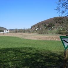
Tailfinger Ried
4.4 km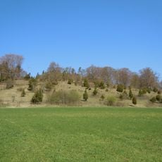
Längenloch
1.6 km
Category:Hochwasserrückhaltebecken Reichenbach
5.4 km
Hohegert
5.3 km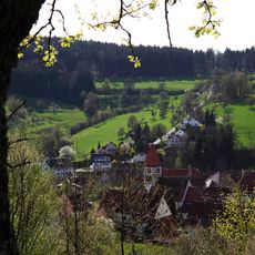
Hundsrücken
2.9 km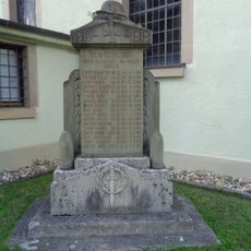
Gefallenendenkmal
4.9 km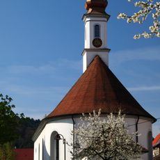
St. Ulrich (Thanheim)
1.7 km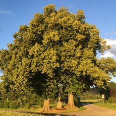
2 Linden mit Steinkreuz
4.8 km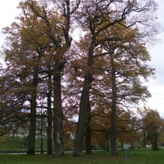
6 Eichen beim Fasanengarten(früher: 8 Eichen)
5.5 km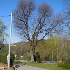
1 Linde
1.4 km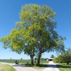
2 Pappeln mit Steinkreuz
3.8 km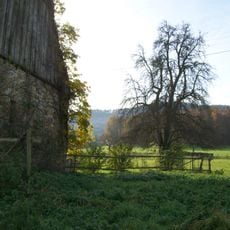
Linde mit Birnbaum im Friedrichstal
4.8 km
14 Eiben
4.6 kmReviews
Visited this place? Tap the stars to rate it and share your experience / photos with the community! Try now! You can cancel it anytime.
Discover hidden gems everywhere you go!
From secret cafés to breathtaking viewpoints, skip the crowded tourist spots and find places that match your style. Our app makes it easy with voice search, smart filtering, route optimization, and insider tips from travelers worldwide. Download now for the complete mobile experience.

A unique approach to discovering new places❞
— Le Figaro
All the places worth exploring❞
— France Info
A tailor-made excursion in just a few clicks❞
— 20 Minutes