
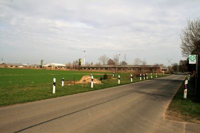
Minnashöh, human settlement in Germany
Location: Gumtow
Elevation above the sea: 49 m
GPS coordinates: 53.00911,12.34460
Latest update: March 7, 2025 17:48
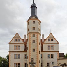
Schloss Demerthin
5.6 km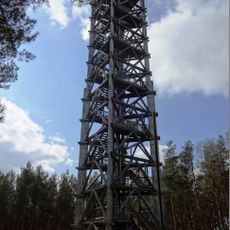
Blumenthal Observation Tower
9.2 km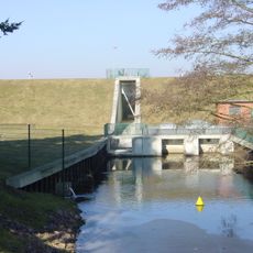
Dossespeicher Kyritz
7.7 km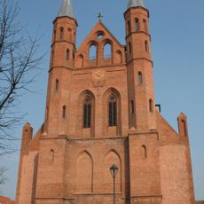
St.Mary's church in Kyritz
8.3 km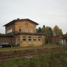
Bahnhof Wutike
775 m
Village church Vehlow
1.6 km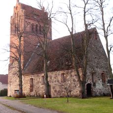
Village church Demerthin
5.5 km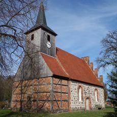
Village church Berlitt
8.4 km
Steinberg
1.4 km
Brüsenhagen-Berg
3.5 km
Kolrep Ausbau
5.5 km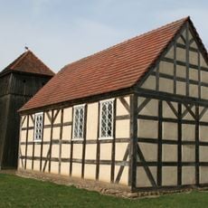
Dorfkirche Breitenfeld
7.7 km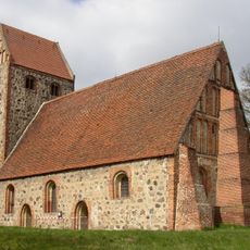
Dorfkirche
8.5 km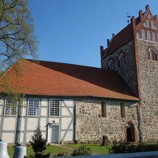
Village church Wutike
2.2 km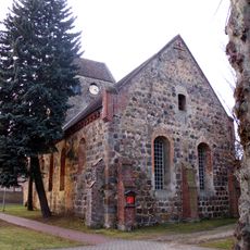
Village church Gumtow
7.1 km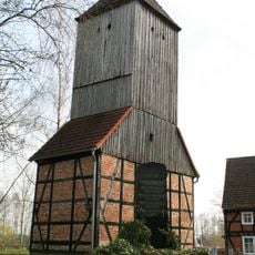
Dorfkirche Brüsenhagen
3.1 km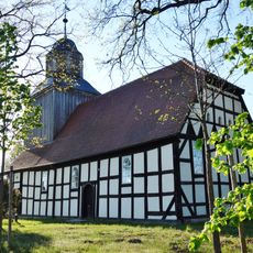
Dorfkirche Grabow bei Blumenthal
8.3 km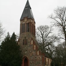
Dorfkirche Dannenwalde
7.2 km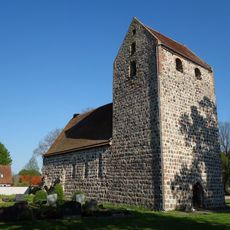
Village church Drewen
4.1 km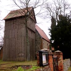
Dorfkirche Mechow
5 km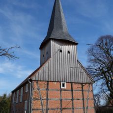
Church in Rehfeld
6.7 km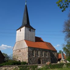
Dorfkirche Gantikow
3.3 km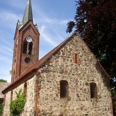
Dorfkirche Blumenthal
7.6 km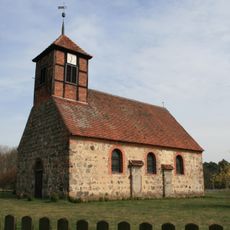
Dorfkirche Kolrep
4.5 km
Dorfkirche Rosenwinkel
4.3 km
Dorfkirche Schönebeck
9 km
Naturdenkmal Eibe (''Taxus baccata'') Am Westgiebel der Kirche in Dannenwalde in Dannenwalde
7.2 km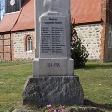
World War I memorial Berlitt
8.4 kmReviews
Visited this place? Tap the stars to rate it and share your experience / photos with the community! Try now! You can cancel it anytime.
Discover hidden gems everywhere you go!
From secret cafés to breathtaking viewpoints, skip the crowded tourist spots and find places that match your style. Our app makes it easy with voice search, smart filtering, route optimization, and insider tips from travelers worldwide. Download now for the complete mobile experience.

A unique approach to discovering new places❞
— Le Figaro
All the places worth exploring❞
— France Info
A tailor-made excursion in just a few clicks❞
— 20 Minutes