
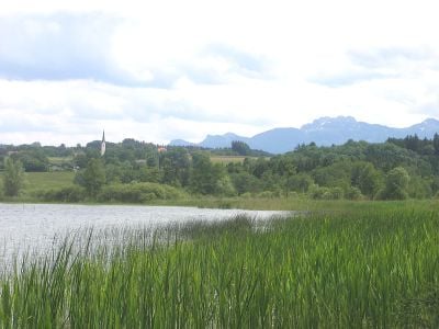
Schutz des Simssees und seiner Umgebung, protected landscape in Germany
Location: Rosenheim
Inception: 1963
GPS coordinates: 47.87278,12.23944
Latest update: March 3, 2025 17:14
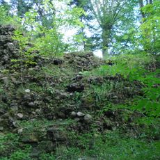
Burgruine Speckerturm
3.5 km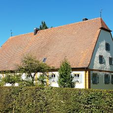
Schloss Farnach
4.1 km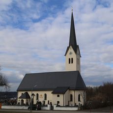
Maria Stern
3 km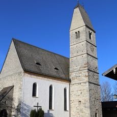
Mariä Himmelfahrt
2.9 km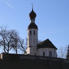
St. Andreas
3.5 km
Filialkirche St. Magdalena
2.7 km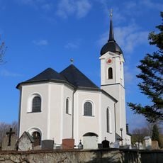
St. Rupert und Martin
4.3 km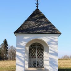
Feldkapelle Holzen
1.9 km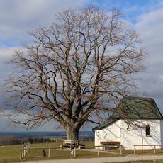
Maria Dolorosa
4.3 km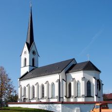
St. Stephanus und Laurentius
1.5 km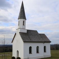
Kapelle Petzgersdorf
3.9 km
LSG Moor- und Tallandschaften bei Söchtenau
3.2 km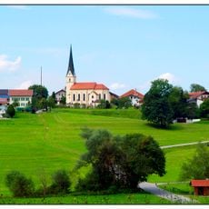
St. Peter
3.4 km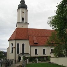
Church of Presentation of Virgin Mary
3.8 km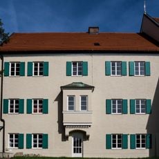
Kirchstraße 8
3.8 km
Pestkreuz
3.2 km
Kapelle
1.6 km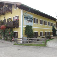
Fischerstraße 7
2.9 km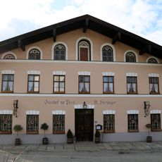
Gasthaus
4.2 km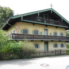
Ehemaliges Pfarrhaus
2.9 km
Bauernhaus
3.1 km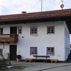
Wohnteil des Bauernhauses
4.3 km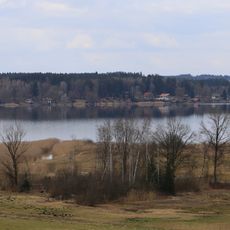
Simsseegebiet
773 m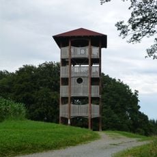
Ratzinger Höhe Observation Tower
4.1 km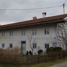
Ehem. Bauernhaus
2.7 km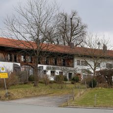
Ehem. Bauernhaus
2.7 km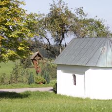
Wegkapelle
2.8 km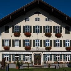
Salzburger Straße 1
3.6 kmVisited this place? Tap the stars to rate it and share your experience / photos with the community! Try now! You can cancel it anytime.
Discover hidden gems everywhere you go!
From secret cafés to breathtaking viewpoints, skip the crowded tourist spots and find places that match your style. Our app makes it easy with voice search, smart filtering, route optimization, and insider tips from travelers worldwide. Download now for the complete mobile experience.

A unique approach to discovering new places❞
— Le Figaro
All the places worth exploring❞
— France Info
A tailor-made excursion in just a few clicks❞
— 20 Minutes