
Station 120 Ziegelheim, Triangulation Column, 2nd Order Station, the Royal Saxon Triangulation in Saxony 1862-1890
Location: Ziegelheim
Part of: Royal Saxon triangulation network, Marien-Wallfahrtskirche Ziegelheim
GPS coordinates: 50.92515,12.55486
Latest update: April 5, 2025 20:00
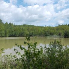
Leinawald
5.2 km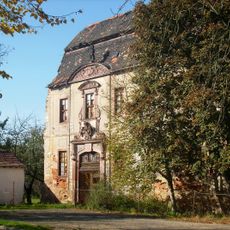
Halbes Schloss
4.7 km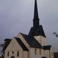
Protestant Church (Flemmingen)
4.5 km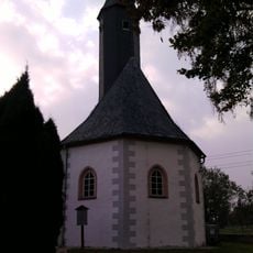
St. Walburga
5.7 km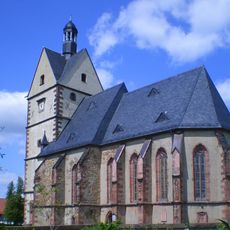
Marien-Wallfahrtskirche Ziegelheim
19 m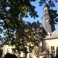
St. Nikolai (Langenleuba-Niederhain)
4.8 km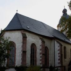
Protestant Church
3.7 km
Dorfkirche Göpfersdorf
3.4 km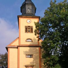
Dorfkirche Frohnsdorf
2.7 km
Protestant Church
3.3 km
Zumroda church
4.9 km
Dorfkirche Großmecka
4.5 km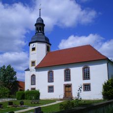
St. Katharina
3.3 km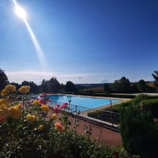
Freibad Waldenburg
5.5 km
Protestant Church (Gieba)
5.5 km
Protestant Church (Oberarnsdorf)
2.4 km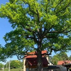
ND Stieleiche Meeraner Straße
4.3 km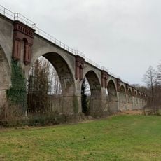
Viadukt Nirkendorf
2.8 km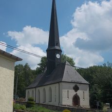
Dorfkirche Schwaben
3.9 km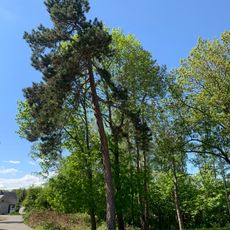
ND Schwarzkiefer Oberwiera
3.9 km
Leinawald
5.8 km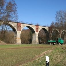
Viadukt Heidelbergsmühle
5.4 km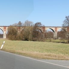
Viadukt Wiesebach
3.1 km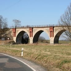
Viadukt Beiern
4.5 km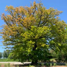
ND Stieleiche Waldenburg
5.6 km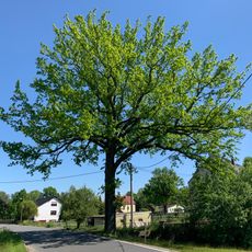
ND Stieleiche Hauptstraße Oberwiera
4.3 km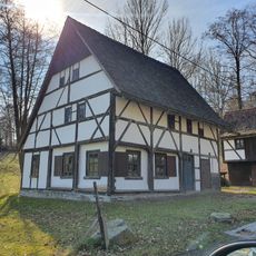
Dorfstraße 14a
4.9 km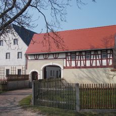
Wohnstallhaus und Seitengebäude (Torhaus) eines Vierseithofes Waldenburger Straße 55
5.3 kmVisited this place? Tap the stars to rate it and share your experience / photos with the community! Try now! You can cancel it anytime.
Discover hidden gems everywhere you go!
From secret cafés to breathtaking viewpoints, skip the crowded tourist spots and find places that match your style. Our app makes it easy with voice search, smart filtering, route optimization, and insider tips from travelers worldwide. Download now for the complete mobile experience.

A unique approach to discovering new places❞
— Le Figaro
All the places worth exploring❞
— France Info
A tailor-made excursion in just a few clicks❞
— 20 Minutes