
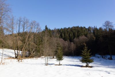
Tschirner und Nordhalbener Ködeltal mit Mäusbeutel
Tschirner und Nordhalbener Ködeltal mit Mäusbeutel, nature reserve in Bavaria, Germany
Location: Tschirn
Inception: 1994
GPS coordinates: 50.36600,11.47690
Latest update: March 4, 2025 09:44
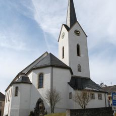
St. Bartholomäus
2.6 km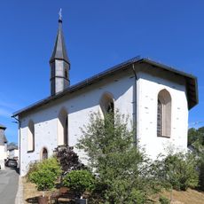
Kirche
2.8 km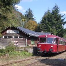
Station building at Dürrenwaid station
3 km
Jubilate-Kirche (Grund)
3.2 km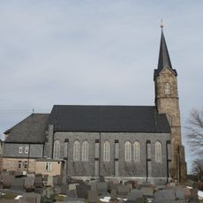
St. Jakobus
4.3 km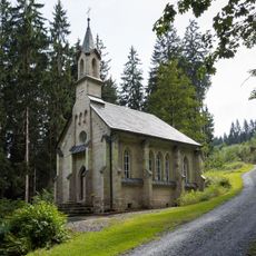
Waldkapelle
6.2 km
Protestant Church Titschendorf
4.1 km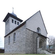
Kirche
5.6 km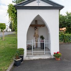
Wegkapelle
2.5 km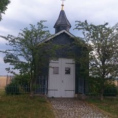
Wegkapelle Effelter D-4-76-189-63
4 km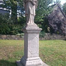
Statue
3.8 km
Rodach
2.9 km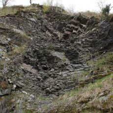
Ehem. Steinbruch am Schloßberg E von Nordhalben
3 km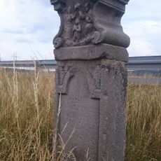
Bildstock
3.8 km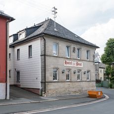
Hotel
2.7 km
Bildstock
2.1 km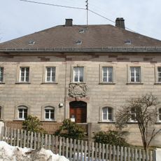
Kronacher Straße 7
2.6 km
Gefängnis
2.6 km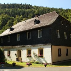
Schneidemühle
3.2 km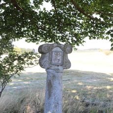
Bildstock
1.7 km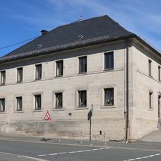
Pfarrhaus
2.5 km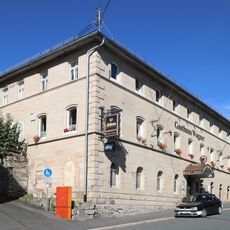
Gasthaus
2.7 km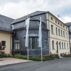
Forstamt
2.6 km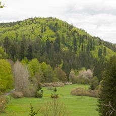
Täler und Rodungsinseln im Frankenwald mit Geroldsgrüner Forst
5.9 km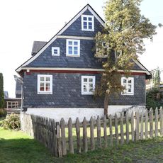
Wohnstallhaus
4.2 km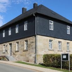
Ehemaliges Schulhaus
4.3 km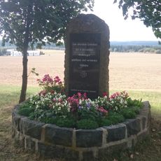
War memorial Grumbach
7.4 km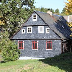
Cultural heritage D-4-76-180-29 in Teuschnitz
5.6 kmReviews
Visited this place? Tap the stars to rate it and share your experience / photos with the community! Try now! You can cancel it anytime.
Discover hidden gems everywhere you go!
From secret cafés to breathtaking viewpoints, skip the crowded tourist spots and find places that match your style. Our app makes it easy with voice search, smart filtering, route optimization, and insider tips from travelers worldwide. Download now for the complete mobile experience.

A unique approach to discovering new places❞
— Le Figaro
All the places worth exploring❞
— France Info
A tailor-made excursion in just a few clicks❞
— 20 Minutes