
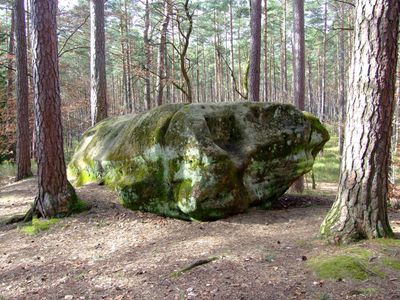
Druidenstein von Untersteinbach ob Gmünd, Felskuppe im Landkreis Roth in Bayern
Location: Georgensgmünd
Elevation above the sea: 395 m
Length: 5 m
Width: 2 m
GPS coordinates: 49.21747,10.99254
Latest update: March 7, 2025 06:30
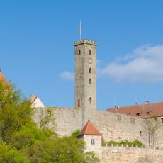
Abenberg Castle
3.6 km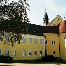
Kloster Marienburg
2.8 km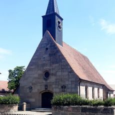
Katholische Filialkirche Christkönig
3.5 km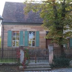
Georgensgmünd Synagogue
3.6 km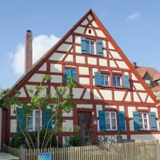
Stillaplatz 11 (Abenberg)
3.6 km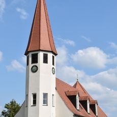
St. Johannis
3.4 km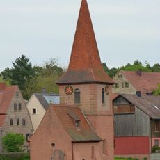
St. Oswald
1.3 km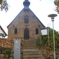
Burgkapelle
3.6 km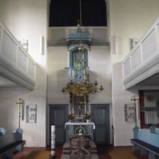
Sankt Georg (Georgensgmünd)
3.6 km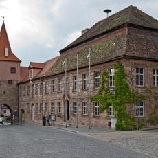
Rathaus Abenberg
3.6 km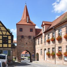
Oberes Tor (Abenberg)
3.6 km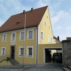
Stillaplatz 10 (Abenberg)
3.6 km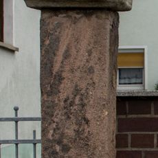
Bildstock in Abenberg
3.4 km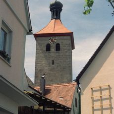
Turm der Stadtpfarrkirche St. Jakob
3.6 km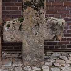
Steinkreuz in Abenberg
3.4 km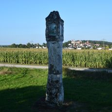
Bildstock, sogenannte Weiße Säule
4.1 km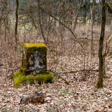
Kreuzstein bei Oberheckenhofen
4.1 km
St. Peter
2.8 km
Bürgerhaus
3.5 km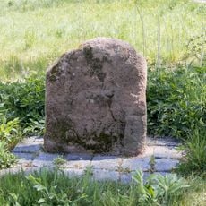
Kreuzstein bei Abenberg
4.1 km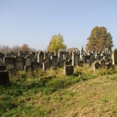
Jüdischer Friedhof
3.4 km
Burgsteig 5
2.4 km
Bildsäule
3.4 km
Höllgasse 3 (Abenberg)
3.6 km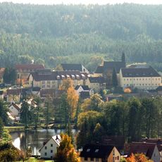
Ehemaliges Augustinerchorfrauenstiftm jetzt franziskanisches Frauenkloster
2.8 km
Burgsteig 1
3.6 km
Unteres Tor
3.4 km
Oberes Tor
3.6 kmReviews
Visited this place? Tap the stars to rate it and share your experience / photos with the community! Try now! You can cancel it anytime.
Discover hidden gems everywhere you go!
From secret cafés to breathtaking viewpoints, skip the crowded tourist spots and find places that match your style. Our app makes it easy with voice search, smart filtering, route optimization, and insider tips from travelers worldwide. Download now for the complete mobile experience.

A unique approach to discovering new places❞
— Le Figaro
All the places worth exploring❞
— France Info
A tailor-made excursion in just a few clicks❞
— 20 Minutes