
Rittergut und Gutspark Königswartha Gutsstraße 1, 2a, 2b, 2c, 2d, 3, 4a, 4b, 4c, 5
Rittergut und Gutspark Königswartha Gutsstraße 1, 2a, 2b, 2c, 2d, 3, 4a, 4b, 4c, 5, house in Königswartha, Germany
Location: Königswartha
Inception: 1800
Address: Gutsstraße 1, 2a, 2b, 2c, 2d, 3, 4a, 4b, 4c, 5 (Bahnhofstraße, Hauptstraße 12c)
GPS coordinates: 51.30797,14.32701
Latest update: March 2, 2025 23:50
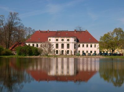
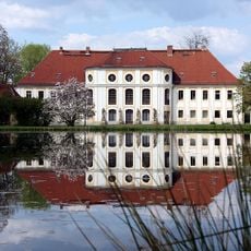
Schloss Königswartha
55 m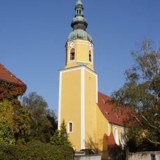
Kirche Königswartha
237 m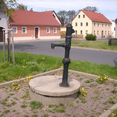
Handschwengelpumpe Am Marktplatz
332 m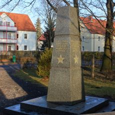
Sowjetisches Ehrenmal Königswartha
467 m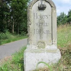
Kgl.-sächs. Postmeilenstein Zescha
1.6 km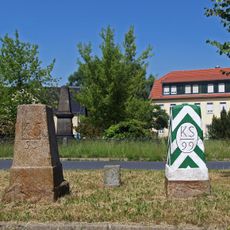
Sächsisch-Preußischer Grenzstein Nr. 99
331 m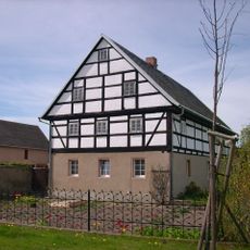
Wohnstallhaus Gartenstraße 6a
579 m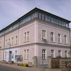
Alte Schule Bahnhofstraße 4
174 m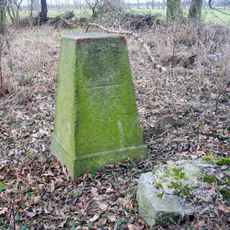
Sächsisch-Preußischer Grenzstein: Pilar Nr. 110
3.2 km
Wohnhaus in halboffener Bebauung, mit Toreinfahrt und Wirtschaftsgebäude über Eck Am Marktplatz 14
340 m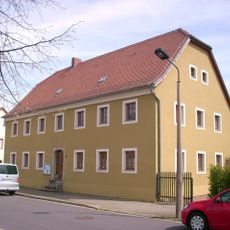
Wohnhaus in offener Bebauung Am Marktplatz 18
267 m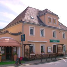
Wohnhaus in halboffener Bebauung und Ecklage Am Marktplatz 20
210 m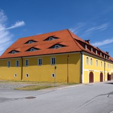
Wohnhaus der Alten Gutsbrennerei (Einzeldenkmal zu ID-Nr. 09300530) Bahnhofstraße (ohne Nummer)
179 m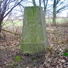
Sächsisch-Preußischer Grenzstein: Pilar Nr. 109
3.2 km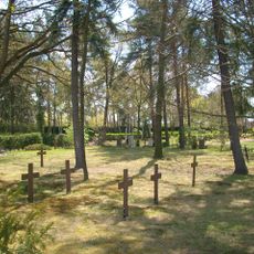
Soldatenfriedhof und Friedhof für Kriegsopfer (Sachgesamtheit) Neudorfer Straße
474 m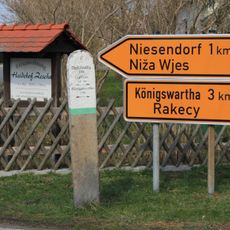
Wegestein Neschwitzer Straße
2.2 km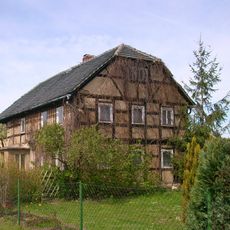
Wohnstallhaus Gartenstraße 11
708 m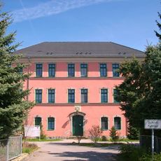
Pflegeheim Königswartha; Ehemaliges Amtsgericht (Nr. 16a, heute Pflegeheim), weiteres ehemaliges Gerichtsgebäude (Nr. 16) sowie ein Steinkreuz und ein Kreuzstein (ehemalige Sühnekreuze) auf dem Gelände des Pflegeheims Hauptstraße 16, 16a
173 m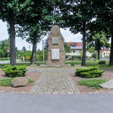
Denkmal für die Gefallenen des Ersten und Zweiten Weltkrieges An den Linden (Dorfanger)
2.2 km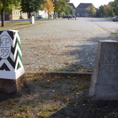
Marktplatz mit Pflasterung und umlaufender Baumpflanzung Am Marktplatz
296 m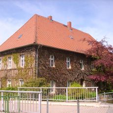
Pfarrhaus Kirchweg 1
236 m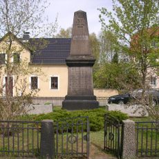
Denkmal für die Gefallenen des Ersten Weltkrieges, mit Einfriedung Am Marktplatz
350 m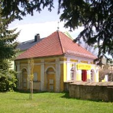
Dallwitzsche Gruft Hauptstraße 23
243 m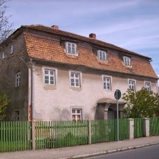
Wohnhaus in Ecklage und offener Bebauung Bahnhofstraße 1
171 m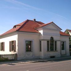
Chausseehaus in offener Bebauung Hauptstraße 52
620 m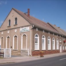
Wohnhaus, Gasthof „Sächsisches Haus“ und Tanzsaal Hauptstraße 17
110 m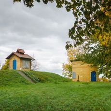
Verteilerturm und Messbehälter der wasserwirtschaftlichen Abgabestation Fuchshain
261 m
Mord- und Sühnekreuz Neschwitzer Straße
2.2 kmReviews
Visited this place? Tap the stars to rate it and share your experience / photos with the community! Try now! You can cancel it anytime.
Discover hidden gems everywhere you go!
From secret cafés to breathtaking viewpoints, skip the crowded tourist spots and find places that match your style. Our app makes it easy with voice search, smart filtering, route optimization, and insider tips from travelers worldwide. Download now for the complete mobile experience.

A unique approach to discovering new places❞
— Le Figaro
All the places worth exploring❞
— France Info
A tailor-made excursion in just a few clicks❞
— 20 Minutes