
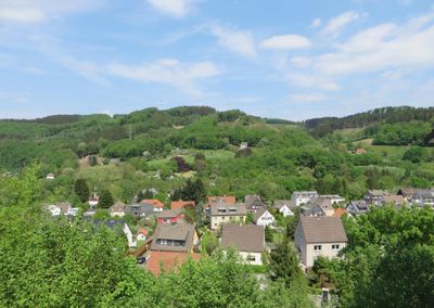
Landschaftsschutzgebiet Asmecker Bachtal, protected area in Germany
Location: Hagen
Inception: 1994
GPS coordinates: 51.31930,7.53418
Latest update: March 3, 2025 03:41
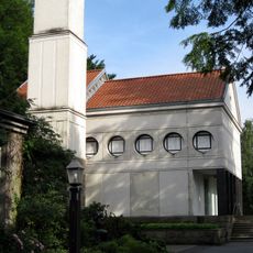
Eduard-Müller-Krematorium
3.3 km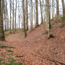
Wallburg Ambrock
1.4 km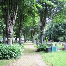
Jüdischer Friedhof Eilpe
3.4 km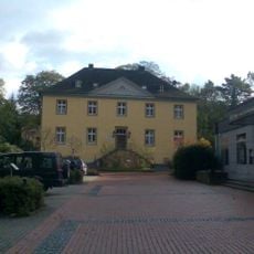
Haus Dahl
1.8 km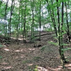
Wallburg Sieben Gräben
3.3 km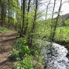
Holthauser Bachtal
2 km
Lange Bäume
3.4 km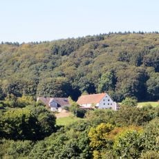
Landschaftsschutzgebiet Eilper Berg/Langenberg
2.5 km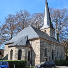
Evangelische Kirche Hagen-Dahl
1.7 km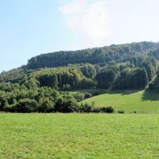
Leitmecke
1.6 km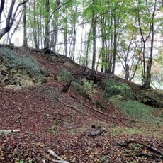
Volmeabstieg
3 km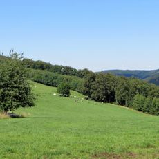
LSG-Deipenbrink
2.8 km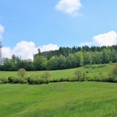
LSG-Brantenberg, Stapelberg
3.5 km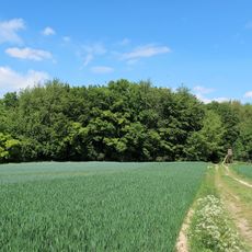
Waldstück mit Doline Bredde
3.1 km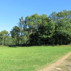
Niederwald Lüling
3.2 km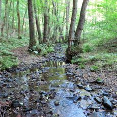
Hamper Bach
2 km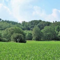
Bachschwinde mit Doline Brauckstück
2.9 km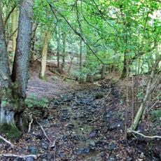
Rumscheider Bach
1.9 km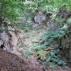
Steinbruch Stapelbach
3.1 km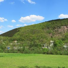
Ehemaliger Steinbruch Ambrock
1 km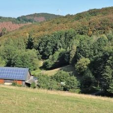
Feuchtwiese Niggenbölling
3.4 km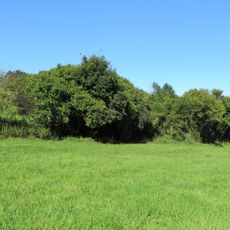
Feldhecken Lüling
3.2 km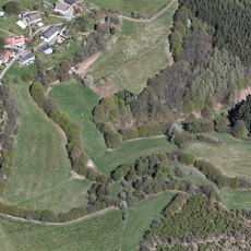
Hangweide und Gehölzstreifen Werninghausen
2.7 km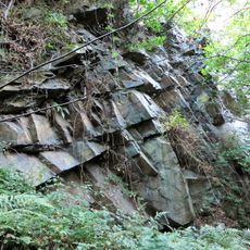
Steinbruch Mäckinger Bachtal
3.5 km
Hülsen Deipenbrink
2.1 km
Feuchtgebiet Kattenohl
1.6 km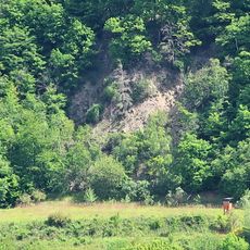
Ehemaliger Steinbruch Scheveberg
1.8 km
Jüdischer Friedhof
3.4 kmReviews
Visited this place? Tap the stars to rate it and share your experience / photos with the community! Try now! You can cancel it anytime.
Discover hidden gems everywhere you go!
From secret cafés to breathtaking viewpoints, skip the crowded tourist spots and find places that match your style. Our app makes it easy with voice search, smart filtering, route optimization, and insider tips from travelers worldwide. Download now for the complete mobile experience.

A unique approach to discovering new places❞
— Le Figaro
All the places worth exploring❞
— France Info
A tailor-made excursion in just a few clicks❞
— 20 Minutes