
Bodendenkmal in Altdorf bei Nürnberg, #D-5-6634-0117
Bodendenkmal in Altdorf bei Nürnberg, #D-5-6634-0117, Cultural heritage monument in Landkreis Nürnberger Land, Bavaria, Germany near N49.38158/E11.40354
Location: Altdorf bei Nürnberg
GPS coordinates: 49.38158,11.40354
Latest update: March 15, 2025 06:56
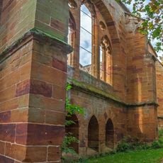
Kloster Gnadenberg
1.5 km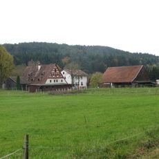
Klostermühle
2 km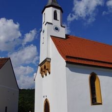
St. Willibald
2.4 km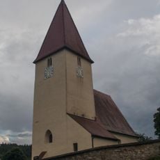
Katholische Filialkirche St. Maria Dolorosa in Altdorf bei Nürnberg
539 m
Burgstall Hohenrasch
2 km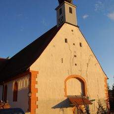
St. Birgitta
1.5 km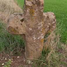
Steinkreuz bei Rasch
2.4 km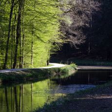
Gnadenberg
1.9 km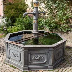
Brunnen in Gnadenberg
1.4 km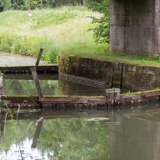
Kanalsperre Unterölsbacher Einschnitt Ost
2.4 km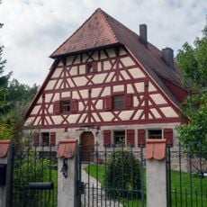
Wohnstallhaus Kaarweg 2
2.3 km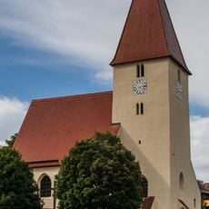
Cultural heritage D-5-6634-0098 in Altdorf bei Nürnberg
538 m
Ehemaliges Gasthaus in Rasch
2.4 km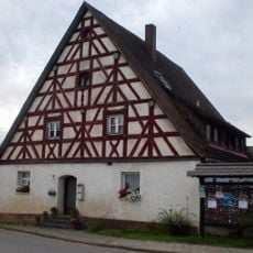
Wohnstallhaus Hagenhausener Hauptstraße 40
124 m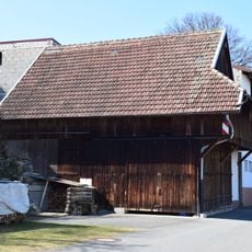
Zugehöriger Stadel
2.3 km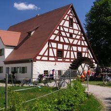
Klostermühle Gnadenberg
2 km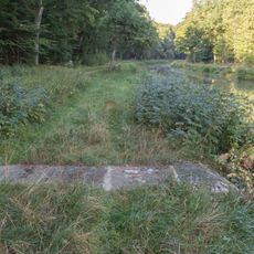
Oberflächerwassereinleitung Winterleitenholz
2.3 km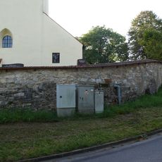
Friedhofsmauer Nähe Hagenhausener Hauptstraße (D-5-74-112-160#1)
539 m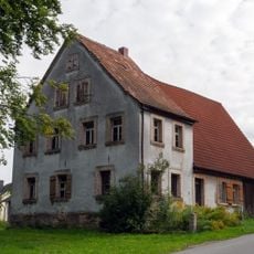
Wohnhaus Gspannberger Straße 1
2.2 km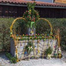
Easter fountains in Hagenhausen
218 m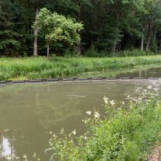
Kanalsperre Unterölsbacher Einschnitt West
2.4 km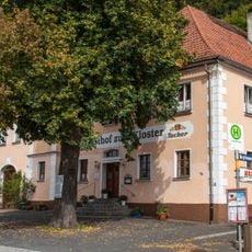
Gasthaus Zum Kloster
1.4 km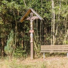
Flurkreuz bei Unterölsbach
2.3 km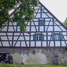
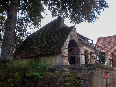
Anwesen Schiedangerweg 2
1 m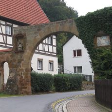
Toreinfahrt der Ortsbefestigung
1.3 km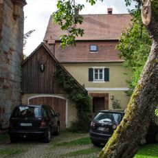
Wohnhaus
1.5 km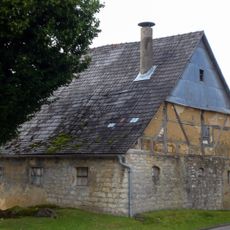
Wohnstallhaus in Altdorf bei Nürnberg
38 m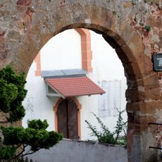
Klostertor
1.4 kmReviews
Visited this place? Tap the stars to rate it and share your experience / photos with the community! Try now! You can cancel it anytime.
Discover hidden gems everywhere you go!
From secret cafés to breathtaking viewpoints, skip the crowded tourist spots and find places that match your style. Our app makes it easy with voice search, smart filtering, route optimization, and insider tips from travelers worldwide. Download now for the complete mobile experience.

A unique approach to discovering new places❞
— Le Figaro
All the places worth exploring❞
— France Info
A tailor-made excursion in just a few clicks❞
— 20 Minutes