
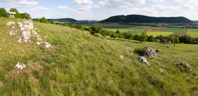
Bergkuppe des Bubenheimer Berges E von Bubenheim, Geotop in Landkreis Weißenburg-Gunzenhausen in Bavaria, Germany
Location: Treuchtlingen
Elevation above the sea: 476 m
Length: 200 m
Width: 100 m
GPS coordinates: 48.98946,10.89745
Latest update: March 5, 2025 18:59
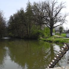
Fossa Carolina
2 km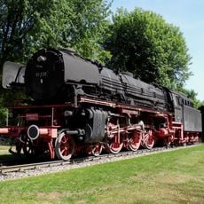
DRG 01 220 → DB 001 2250-3
3.7 km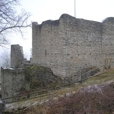
Burg Treuchtlingen
3.6 km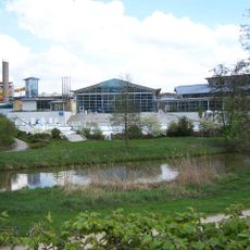
Altmühltherme
3.8 km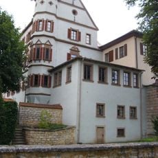
City Palace (Treuchtlingen)
3.8 km
Jewish cemetery, Treuchtlingen
3.8 km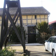
Scheunenkirche Dettenheim
3.6 km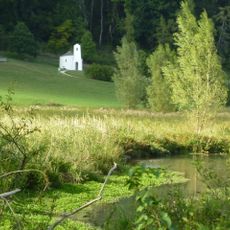
Schambachried
3.8 km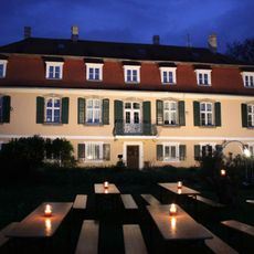
Schloss Dettenheim
3.6 km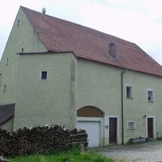
Schloss Falbenthal
3.8 km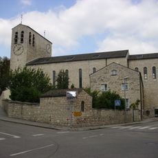
Marienkirche
3.4 km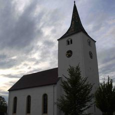
St. Nikolaus
3.6 km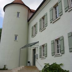
Am Schloßberg 1
3.8 km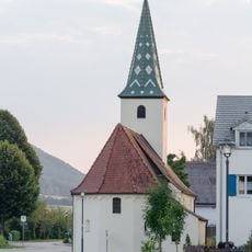
St. Kunigunde
1.8 km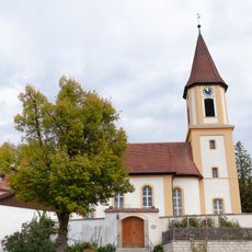
St. Ulrich zum Heiligen Kreuz
411 m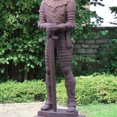
Statue of Gottfried Heinrich Graf zu Pappenheim
3.8 km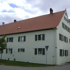
Bauernhaus eines Dreiseithofes
1.8 km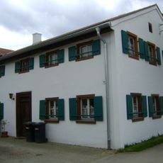
Bauernhaus
3.4 km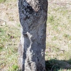
Steinkreuz bei Markt Berolzheim
3.6 km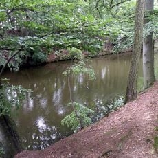
Befestigungsmauer Fossa Carolina; Karlsgrabenstraße in Treuchtlingen
1.9 km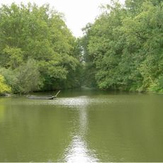
Karlsgraben
2 km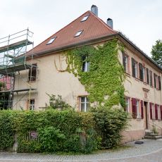
Heinrich-Aurnhammer-Straße 16
3.8 km
Schambachried
3.8 km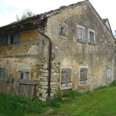
Wohnstallhaus
3.4 km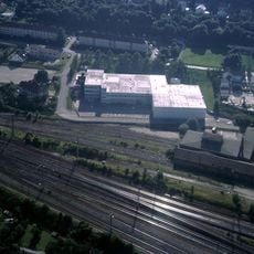
Bahnbetriebswerk Treuchtlingen, Verwaltungsgebäude
2.5 km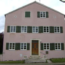
Scheune
3.7 km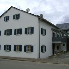
Scheune
3.7 km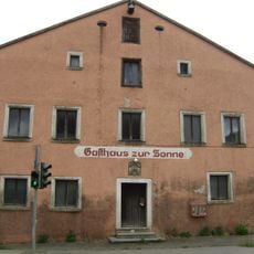
Brauereigasthof "Zur Sonne" (Weißenburg in Bayern)
3.6 kmReviews
Visited this place? Tap the stars to rate it and share your experience / photos with the community! Try now! You can cancel it anytime.
Discover hidden gems everywhere you go!
From secret cafés to breathtaking viewpoints, skip the crowded tourist spots and find places that match your style. Our app makes it easy with voice search, smart filtering, route optimization, and insider tips from travelers worldwide. Download now for the complete mobile experience.

A unique approach to discovering new places❞
— Le Figaro
All the places worth exploring❞
— France Info
A tailor-made excursion in just a few clicks❞
— 20 Minutes