
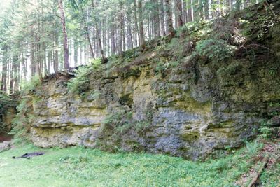
Klettergarten Gleißental, former quarry at Oberhaching in Bavaria, Germany
Location: Oberhaching
Elevation above the sea: 595 m
Length: 150 m
Width: 16 m
GPS coordinates: 48.00852,11.57954
Latest update: March 23, 2025 21:14
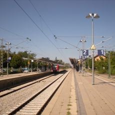
Deisenhofen station
1.3 km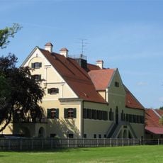
Schloss Laufzorn
2 km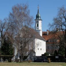
Heilig-Kreuz-Kirche (Kreuzpullach)
2.2 km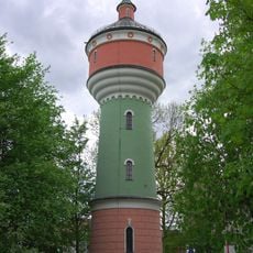
Wasserturm
1.5 km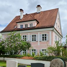
Schlösschen (Kreuzpullach)
2.2 km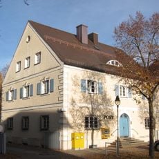
Postamt Deisenhofen
1.4 km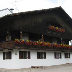
Ödenpullach 3
2.7 km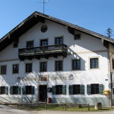
Kirchplatz 1
3.2 km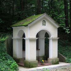
Wayside chapel St George
2.3 km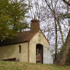
Wayside chapel Furth
3 km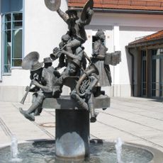
Musikantenbrunnen, Oberhaching
2.2 km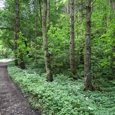
LSG Perlacher und Grünwalder Forst einschließlich des Gleißentales
3 km
St. Stephan
2.3 km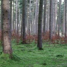
Deisenhofener Forst
3.3 km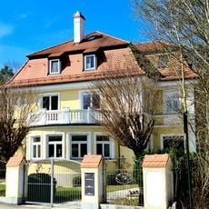
Villa
1.4 km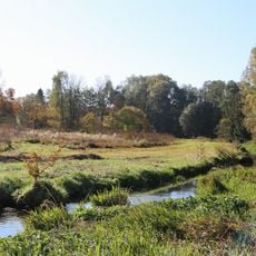
Hachinger Tal im Gebiet der Gemeinden Oberhaching und Taufkirchen
4 km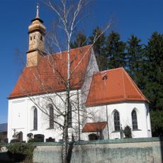
Mariä Geburt
3.1 km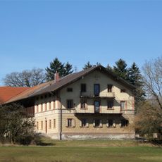
Dietramszeller Straße 1
3.1 km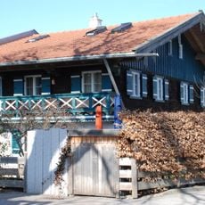
Hakenhof
2.9 km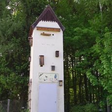
Viecherlturm
3 km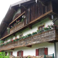
Stauchartinger Weg 2
3.2 km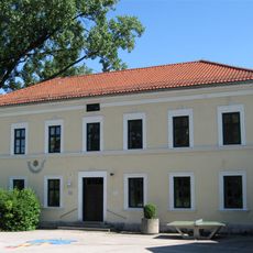
Grundschule Oberhaching
2.4 km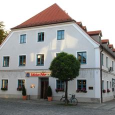
Ehemals Gasthaus Forstner
2.3 km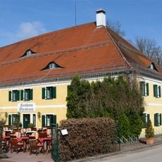
Forsthaus Wörnbrunn
4.1 km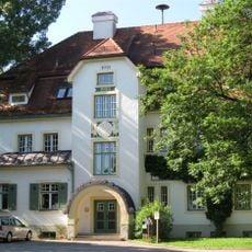
Grundschule Oberhaching
2.3 km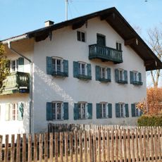
Hahilingastraße 47
2.9 km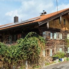
Bauernhaus
2.2 km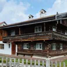
Einhaus
1.5 kmVisited this place? Tap the stars to rate it and share your experience / photos with the community! Try now! You can cancel it anytime.
Discover hidden gems everywhere you go!
From secret cafés to breathtaking viewpoints, skip the crowded tourist spots and find places that match your style. Our app makes it easy with voice search, smart filtering, route optimization, and insider tips from travelers worldwide. Download now for the complete mobile experience.

A unique approach to discovering new places❞
— Le Figaro
All the places worth exploring❞
— France Info
A tailor-made excursion in just a few clicks❞
— 20 Minutes