Oberhaching, municipality of Germany
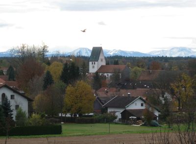
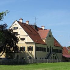
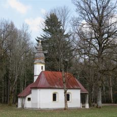
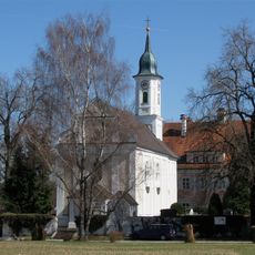
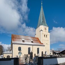
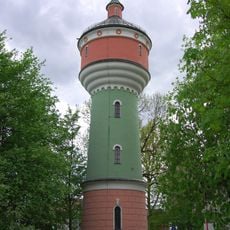
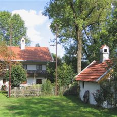
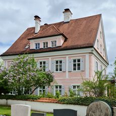
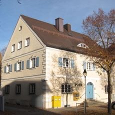
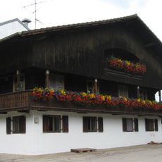
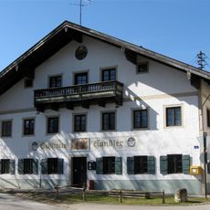
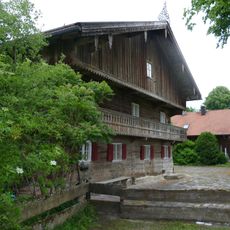
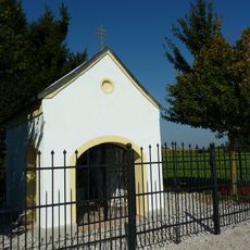
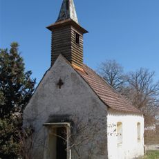
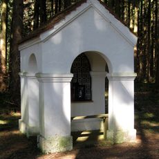
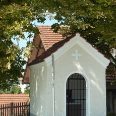
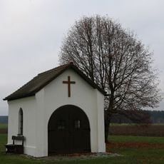
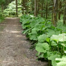
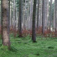
Oberhaching is a small town south of Munich, surrounded by forests, lakes, and gentle hills in the Bavarian countryside. The village combines traditional architecture with rural character - narrow streets lined with flower-decorated houses, a Romanesque church from the 8th century, and several restored farmhouses from the 19th century shape the townscape.
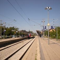
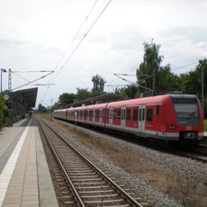
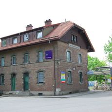
Oberhaching was first mentioned in documents in 1140 and derives from the older designation 'ad superius Hachingen'. St. Stephan Church traces the town's oldest roots back to the 8th century, while the railway connection from 1856 accelerated economic development and enabled residential expansion.
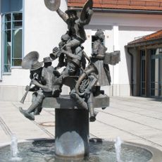
The name Oberhaching comes from old German and means 'Upper Haching'. Residents celebrate local traditions through annual folk festivals with music, dancing, and traditional Bavarian food on the town square. In the beer gardens, people gather on warm evenings to eat and socialize together, which remains a central part of community life.
The town offers convenient access for visitors with direct train connections to Munich and several accommodations with good value, as well as beer gardens and traditional restaurants. During bad weather, visitors find indoor activities such as the local swimming area, cinema, or concerts in local venues.
During the 2006 World Cup, Paraguay's national soccer team used Oberhaching as a training base and lodging while preparing for their matches. The local basketball team TSV Oberhaching Tropics plays in Germany's second division, showing that this small town hosts serious sports despite its modest size.
The community of curious travelers
AroundUs brings together thousands of curated places, local tips, and hidden gems, enriched daily by 60,000 contributors worldwide.