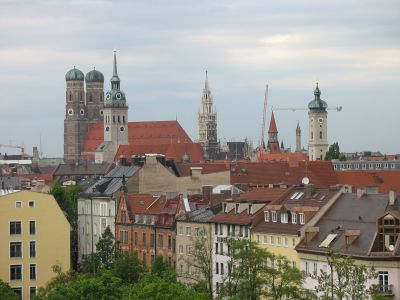
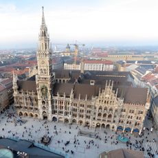
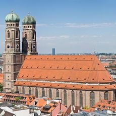
Munich, Administrative district in Bavaria, Germany
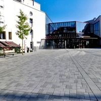
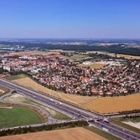
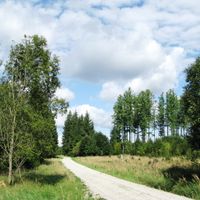
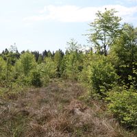
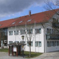
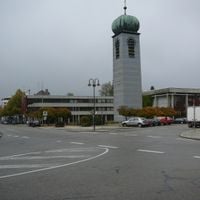
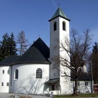
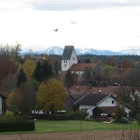
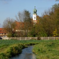
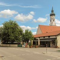
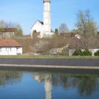
The district is an administrative area in Upper Bavaria, Germany, forming a ring around the state capital and including various municipalities along with green spaces. The landscape alternates between inhabited towns with historic village cores, commercial zones, and open fields or forests that stretch toward the Alpine foothills.
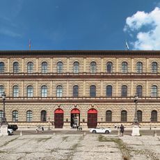
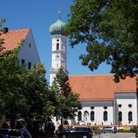
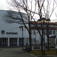
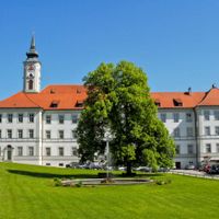
The current administrative structure emerged after World War II, when Bavarian territorial reform merged several former districts. Many of the incorporated towns had been settled since medieval times and developed in the shadow of the growing residence city.
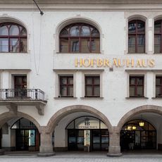
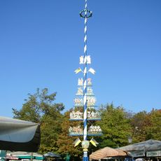
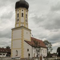
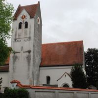
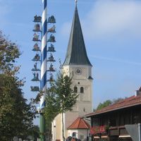
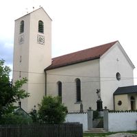
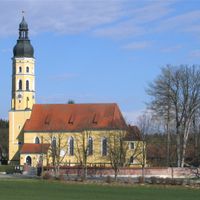
The communities surrounding the capital celebrate their own church festivals and maypole traditions, often held on village squares during spring and summer months. Beer gardens and taverns serve as meeting points where locals gather after work or on weekends to exchange news and share time together.
Individual towns are best reached by personal vehicle or through regional train connections that run into the state capital. Roads are usually easy to navigate outside peak hours, while delays can occur during rush times.
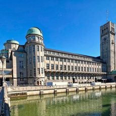
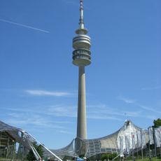
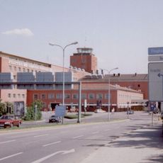
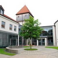
Several communities in the northern part of the district host research facilities and industrial sites closely connected to the nearby Technical University. Visitors can occasionally attend public lectures or tours that offer insight into ongoing scientific projects.
Location: Upper Bavaria
Inception: January 1, 1880
Capital city: Munich
Elevation above the sea: 513 m
Shares border with: Munich, Starnberg, Fürstenfeldbruck, Bad Tölz-Wolfratshausen, Miesbach, Rosenheim, Ebersberg, Erding, Freising, Dachau
Website: http://landkreis-muenchen.de
GPS coordinates: 48.00000,11.67000
Latest update: December 13, 2025 18:48
Allianz Arena
24.6 km
Technical University of Munich
18.1 km
Marienplatz
16.8 km
Munich Olympic Stadium
21.3 km
Englischer Garten
18 km
Nymphenburg Palace
21.5 km
Frauenkirche
17 km
Deutsches Museum
15.8 km
Bavaria
17.2 km
Hofbräuhaus am Platzl
16.7 km
Grünwalder Stadion
14.2 km
Olympiapark
20.9 km
Nockherberg
15 km
Rathaus-Glockenspiel
16.8 km
Olympiaturm
21.2 km
Munich Residence
17.1 km
Munich-Riem Airport
15.4 km
Feldherrnhalle
17.2 km
Viktualienmarkt
16.6 km
BMW Headquarters
21.3 km
New Town Hall
16.9 km
Alte Pinakothek
18.1 km
Munich Prison
12.5 km
Pinakothek der Moderne
17.9 km
Zoo Siebenbrunner Straße 6 in München
13.7 km
Hellabrunn Zoo
13.9 km
Maximilianeum
16.2 km
Tantris
19.9 kmVisited this place? Tap the stars to rate it and share your experience / photos with the community! Try now! You can cancel it anytime.
Unterschleißheim
Garching bei München
Forstenrieder Park
Grünwalder Forst
Perlacher Forst
Hohenbrunn
Haar
Grünwald
Grasbrunn
Gräfelfing
Feldkirchen
Brunnthal
Baierbrunn
Aying
Aschheim
Pullach
Planegg
Ottobrunn
Oberschleißheim
Oberhaching
Neuried
Neubiberg
Kirchheim bei München
Ismaning
Höhenkirchen-Siegertsbrunn
Unterhaching
Unterföhring
Taufkirchen
Straßlach-Dingharting
Schäftlarn
Sauerlach
Putzbrunn
Discover hidden gems everywhere you go!
From secret cafés to breathtaking viewpoints, skip the crowded tourist spots and find places that match your style. Our app makes it easy with voice search, smart filtering, route optimization, and insider tips from travelers worldwide. Download now for the complete mobile experience.
A unique approach to discovering new places❞
— Le Figaro
All the places worth exploring❞
— France Info
A tailor-made excursion in just a few clicks❞
— 20 Minutes