Taufkirchen, Municipality in Munich district, Germany.
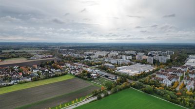
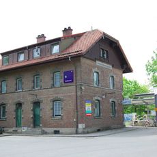
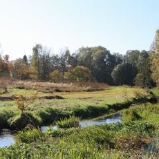
Taufkirchen is a municipality in Munich district in Bavaria, spreading across several square kilometers with residential and commercial areas. The settlement sits at a moderate elevation and combines rural structures with modern infrastructure for its residents.
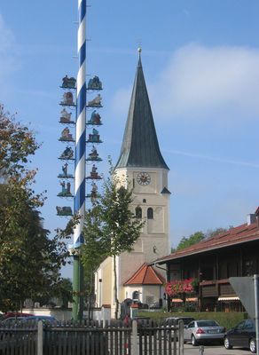
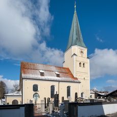
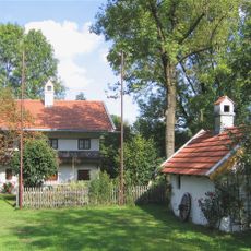
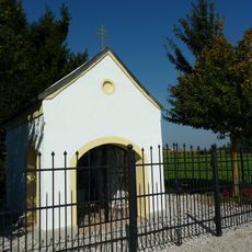
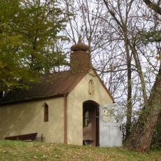
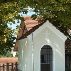
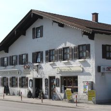
The place developed from a medieval settlement around the church that gave it its name. In the 20th century, its proximity to Munich transformed it from a farming area into a commuter community.
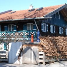
The name comes from an old church that still marks the center of the place. Despite growing as a residential area for Munich workers, it has kept its village-like character and local identity.
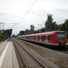
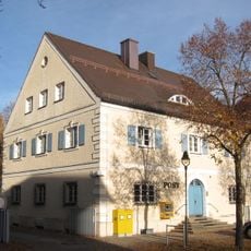
The place lies about 10 kilometers south of Munich and is easily reached by public transport and roads. Visitors find typical facilities of a modern municipality here, including local shops and services.
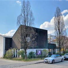
A major aerospace and defense facility, often associated with a neighboring town, actually sits mostly within this municipality's boundaries. This significant industrial presence shapes the local economy, even though it receives little public attention.
Location: Munich
Elevation above the sea: 563 m
Shares border with: Hohenbrunn, Brunnthal, Ottobrunn, Oberhaching, Unterhaching
Website: http://taufkirchen-mucl.de
GPS coordinates: 48.04600,11.61519
Latest update: December 20, 2025 13:59
Ottosäule
4.1 km
St. Johann Baptist (Taufkirchen)
270 m
Taufkirchen station
738 m
St. Georg
937 m
St. Albertus Magnus
3.7 km
Wolfschneiderhof Taufkirchen
176 m
Jerusalemkirche
1.1 km
Postamt Deisenhofen
3.7 km
Hofkapelle St. Sebastian
721 m
Wayside chapel Furth
2 km
Wegkapelle Hohenbrunner Weg 25 in Taufkirchen
661 m
Musikantenbrunnen, Oberhaching
2.7 km
Former train station Taufkirchen-Unterhaching
715 mKapellenbildstock
3.4 kmCultural heritage D-1-7935-0062 in Taufkirchen (bei München)
637 mDenkmal
4.1 km
St. Stephan
2.6 km
Deisenhofener Forst
4.6 kmCultural heritage D-1-7935-0316 in Taufkirchen (bei München)
485 mCultural heritage D-1-7935-0257 in Taufkirchen (bei München)
1.5 km
Hachinger Tal im Gebiet der Gemeinden Oberhaching und Taufkirchen
963 m
Hakenhof
2 kmWegkapelle
2.8 kmCultural heritage D-1-7935-0263 in Unterhaching
1.3 kmHahilingastraße 1
2.6 kmCultural heritage D-1-7935-0061 in Taufkirchen (bei München)
1.4 kmCultural heritage D-1-7935-0282 in Oberhaching
2.6 km
Gasthaus
320 mVisited this place? Tap the stars to rate it and share your experience / photos with the community! Try now! You can cancel it anytime.
Discover hidden gems everywhere you go!
From secret cafés to breathtaking viewpoints, skip the crowded tourist spots and find places that match your style. Our app makes it easy with voice search, smart filtering, route optimization, and insider tips from travelers worldwide. Download now for the complete mobile experience.
A unique approach to discovering new places❞
— Le Figaro
All the places worth exploring❞
— France Info
A tailor-made excursion in just a few clicks❞
— 20 Minutes