Aying, municipality of Germany
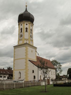
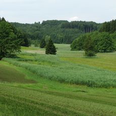
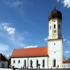
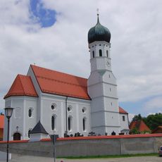
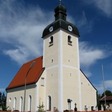
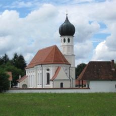
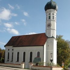
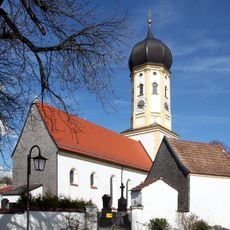
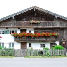
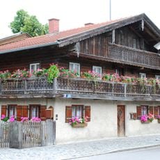
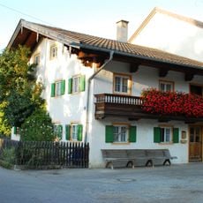
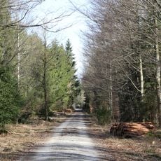
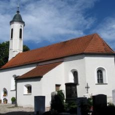
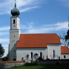
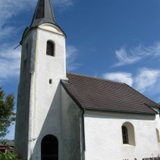
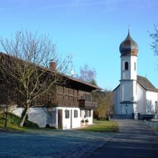
Aying is a small village in the Munich district, southeast of the city, known for its brewery and its rural character. It consists of old farmhouses, a village church, and quiet roads surrounded by fields and forests.
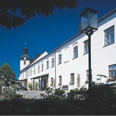
The settlement was recorded in documents during the Middle Ages and remained a farming village for centuries. The Aying brewery was founded in the 19th century and has stayed in the same family ever since, shaping much of what the village looks like today.
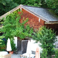
The name Aying is directly tied to the beer brewed here, which has shaped how the village sees itself for generations. In the brewery's beer garden, locals and visitors sit together at long wooden tables, sharing food and drink in a way that feels like a local ritual.
Aying is reachable by the S7 suburban train from Munich, with the ride taking around 40 minutes to Aying station. The village is small enough to walk through in an hour, with the church, brewery, and museum all within easy reach of each other.
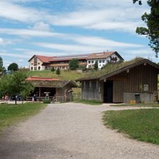
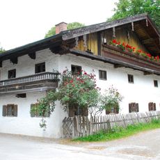
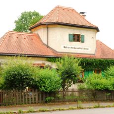
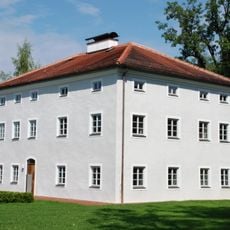
The village skittles alley dates from 1886 and is still in use, with pins set by hand following an old tradition. The Sixthof Museum is housed in a working farm and tells the story of the village through objects tied directly to the brewery's founding family.
The community of curious travelers
AroundUs brings together thousands of curated places, local tips, and hidden gems, enriched daily by 60,000 contributors worldwide.