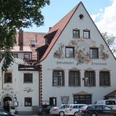
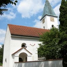
Grünwald, Resort municipality in Munich district, Germany
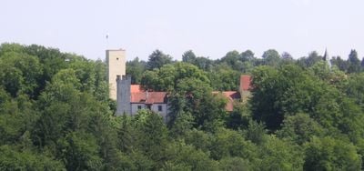
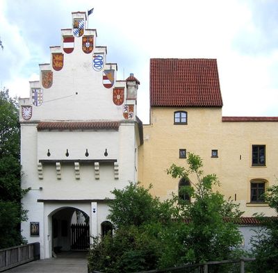
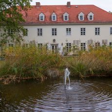
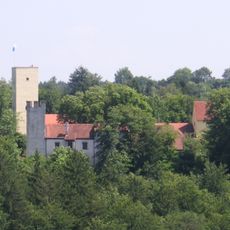
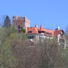
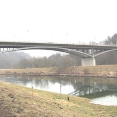
This municipality covers 7.63 square kilometers on the right bank of the Isar River, 12 kilometers southwest of Munich. The territory includes Bavaria Film Studios, one of Europe's largest film production facilities, and a medieval fortress housing a branch of the Bavarian Archaeological Museum with regional history collections.
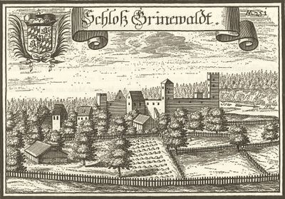
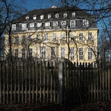
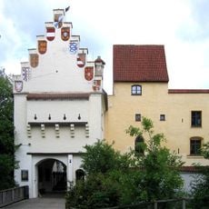
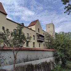
Dukes of Bavaria constructed the fortress in the 13th century to monitor the Isar crossing and protect Munich from potential threats. The structure served as a ducal residence before transforming into a military stronghold, eventually becoming home to a Bavarian Archaeological Museum branch displaying artifacts from Roman and medieval settlements in the region.
Bavaria Film Studios has produced motion pictures, television series, and broadcasts that shaped German and European cinema for decades. These facilities generated major works of German film and regularly host international productions, establishing this Bavarian municipality as an important center in the European audiovisual industry.
Bus line 271 links the municipality to Thalkirchen metro station in 15 minutes, operating every 20 minutes during peak hours. This connection provides access to Munich city center in under 30 minutes via the metro network.
The 23-kilometer individual time trial course of the 1972 Olympic Games passed through this municipality, where cyclists completed eight laps observed by Bavarian spectators along the Isar riverbanks.
The community of curious travelers
AroundUs brings together thousands of curated places, local tips, and hidden gems, enriched daily by 60,000 contributors worldwide.