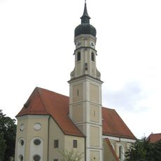
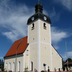
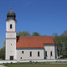
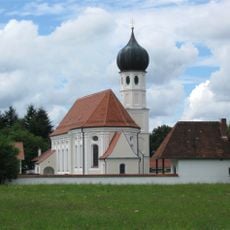
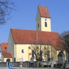
Höhenkirchen-Siegertsbrunn, municipality of Germany
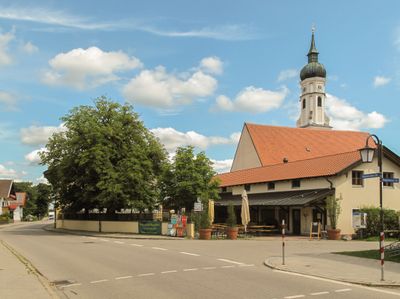
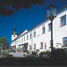
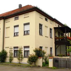
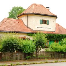
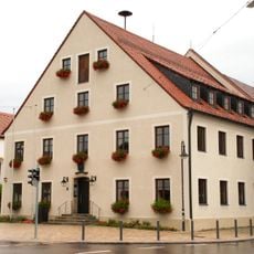
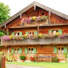
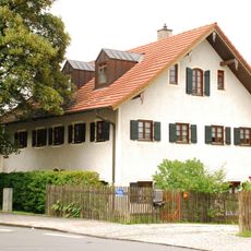
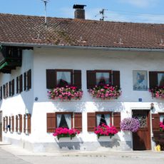
Höhenkirchen-Siegertsbrunn is a municipality in the district of Munich, located southeast of the Bavarian state capital within a large forested area. The municipal territory covers several residential neighborhoods with small shops, schools, and public facilities spread across the wooded landscape.
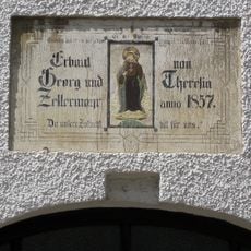
The municipality was formed in 1978 when the two separate villages of Höhenkirchen and Siegertsbrunn were officially merged into one administrative unit. Both villages had grown from farming settlements over the centuries before becoming part of the greater Munich suburban area.
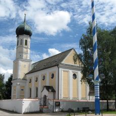
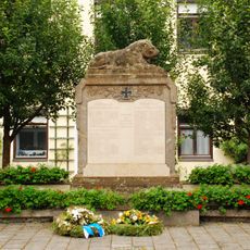
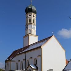
The name of the municipality reflects its origin, combining the names of the two villages that once stood apart. Each year, the Leonhardi Festival brings residents together with market stalls and local food, showing how local traditions remain part of everyday life.
The municipality is well connected to central Munich by the S-Bahn commuter rail, which makes getting there straightforward from the city. Once you arrive, the different parts of the community are best explored by bike or on foot along the paths through the forested areas.
The local Leonhardi Festival takes place on the first Sunday after July 8, which is an unusual date for this type of celebration, since Saint Leonard is traditionally honored in November across Bavaria. This summer timing sets the event apart from nearly all other Leonhardi celebrations in the region.
The community of curious travelers
AroundUs brings together thousands of curated places, local tips, and hidden gems, enriched daily by 60,000 contributors worldwide.