
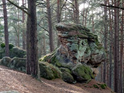
Felsgruppe Buchstein SW von Bayreuth, Geotop in Landkreis Bayreuth (Stadt) in Bavaria, Germany
Location: Bayreuth
Elevation above the sea: 410 m
Length: 300 m
Width: 100 m
Website: http://www.umweltatlas.bayern.de/mapapps/resources/reports/geotope/generateBericht.pdf?additionallayerfieldvalue=462R001
GPS coordinates: 49.92525,11.53561
Latest update: March 6, 2025 02:13

Schloss Fantaisie
2.1 km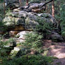
Buchstein
93 m
St. Bartholomew (Mistelbach)
2.1 km
Denkmal
1.8 km
Lutherkirche
1.9 km
Pfarrkirche
1.9 km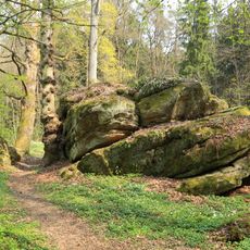
LSG Schloßpark Fantaisie im Gebiet der Stadt Bayreuth und des Landkreises Bayreuth
1.4 km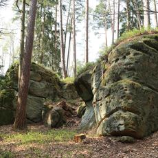
Felsengruppe Philippstein E von Eckersdorf
1.4 km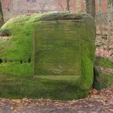
Epitaph
1.5 km
Villa
668 m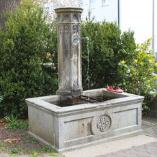
Springbrunnen
1.9 km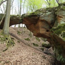
Teufelsgraben mit Teufelsbrücke ENE von Donndorf
1.8 km
Auferstehungskirche
2 km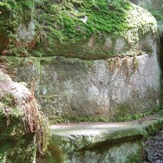
Jagdhütte
2 km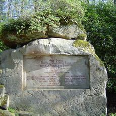
Sandsteinblock 4 im Schloßgarten Fantasie
2 km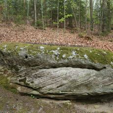
Sandsteinblock 2 im Schloßgarten Fantasie
2 km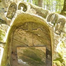
Sandsteinblock 3 im Schloßgarten Fantasie
1.9 km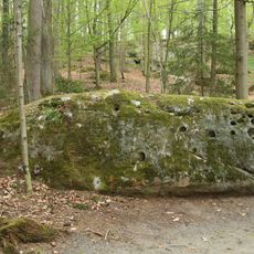
Sandsteinblock 1 im Schloßgarten Fantasie
2 km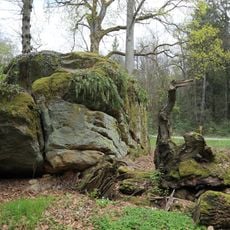
Katzenstein SE von Eckersdorf
1.4 km
Wohnhaus
633 m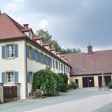
Gutshof
1.7 km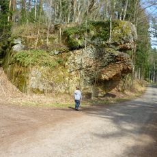
Oertelfelsen W von Bayreuth
1.2 km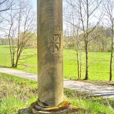
Cultural heritage D-4-62-000-471 in Eckersdorf
729 m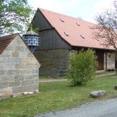
Wohnstallhaus
1.2 km
Wohnhaus
1.6 km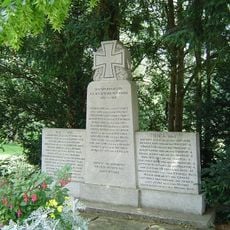
Kriegerdenkmal
1.6 km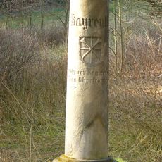
Grenzstein
1.6 km
Pfarrhaus
2.1 kmReviews
Visited this place? Tap the stars to rate it and share your experience / photos with the community! Try now! You can cancel it anytime.
Discover hidden gems everywhere you go!
From secret cafés to breathtaking viewpoints, skip the crowded tourist spots and find places that match your style. Our app makes it easy with voice search, smart filtering, route optimization, and insider tips from travelers worldwide. Download now for the complete mobile experience.

A unique approach to discovering new places❞
— Le Figaro
All the places worth exploring❞
— France Info
A tailor-made excursion in just a few clicks❞
— 20 Minutes