
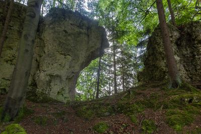
Türkenfelsen W von Ammerried, Geotop in Landkreis Amberg-Sulzbach in Bavaria, Germany
Location: Birgland
Elevation above the sea: 600 m
Length: 50 m
Width: 4 m
GPS coordinates: 49.47136,11.59666
Latest update: March 9, 2025 14:49
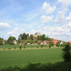
Burgruine Lichtenegg
1.1 km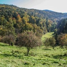
Schottental bei Heldmannsberg
2.4 km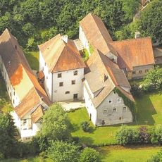
Schloss Haunritz
2.2 km
Kirchthalmühle
3 km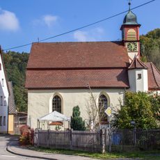
Schlosskirche in Happurg
4.1 km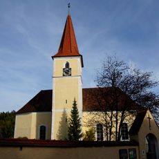
St. Willibald
1.6 km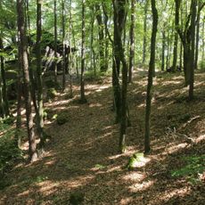
Abschnittsbefestigung Kuhfels
4.1 km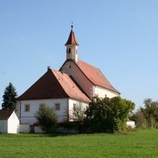
Kath. Pfarrkirche Mariae Himmelfahrt in Pommelsbrunn
2.6 km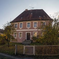
Pfarrhaus in Fürnried
1.7 km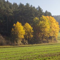
Högenbachtal, Lichtenegg, Beselberg mit westlichem Birgland
4 km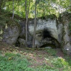
Höhlenstation in Pommelsbrunn
2.3 km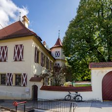
Castle in Thalheim near Happurg
4.1 km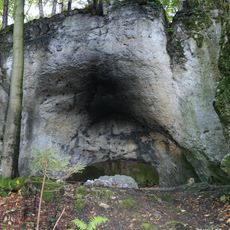
Cultural heritage D-5-6535-0103 Pommelsbrunn
2.3 km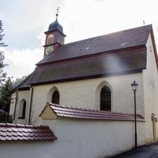
Cultural heritage D-5-6535-0123 in Happurg
4.1 km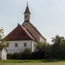
Cultural heritage D-5-6535-0102 in Pommelsbrunn
2.6 km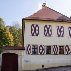
Cultural heritage D-5-6535-0124 in Happurg
4.1 km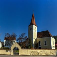
Cultural heritage D-3-6535-0096 in Birgland
1.6 km
Friedhofsmauer Heldmannsberg 14 a (D-5-74-147-58#1)
2.6 km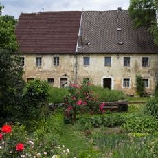
Wohnstallhaus Heldmannsberg 5
2.8 km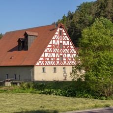
Ehemaliges Mühlgebäude in Alfeld
3.2 km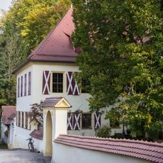
Mauer Am Schloß 4 (D-5-74-128-58#1)
4.1 km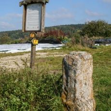
Grenzstein bei Wüllersdorf
1.6 km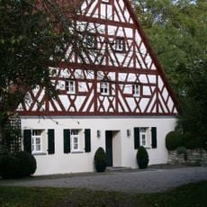
Ehem. Wohnstallhaus in Pommelsbrunn
2.3 km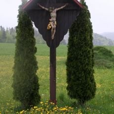
Wegkreuz in Heldmannsberg
2.7 km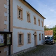
Pfarrhaus Heldmannsberg 14
2.6 km
Wälder im Oberpfälzer Jura
988 m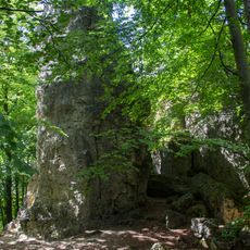
Emilfelsen
296 m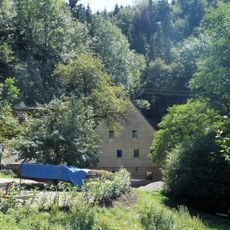
Backhaus in Alfeld
2.9 kmReviews
Visited this place? Tap the stars to rate it and share your experience / photos with the community! Try now! You can cancel it anytime.
Discover hidden gems everywhere you go!
From secret cafés to breathtaking viewpoints, skip the crowded tourist spots and find places that match your style. Our app makes it easy with voice search, smart filtering, route optimization, and insider tips from travelers worldwide. Download now for the complete mobile experience.

A unique approach to discovering new places❞
— Le Figaro
All the places worth exploring❞
— France Info
A tailor-made excursion in just a few clicks❞
— 20 Minutes