
Lochberg bei Pegnitz, Geotop in Landkreis Bayreuth in Bavaria, Germany
Location: Pegnitz
Elevation above the sea: 447 m
Length: 60 m
Width: 10 m
Website: http://www.umweltatlas.bayern.de/mapapps/resources/reports/geotope/generateBericht.pdf?additionallayerfieldvalue=472R154
GPS coordinates: 49.74446,11.54862
Latest update: March 16, 2025 02:28

Raststätte Fränkische Schweiz / Pegnitz West
2.8 km
Schloßberg
1.9 km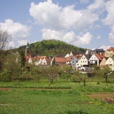
Burgstall Böheimstein
1.9 km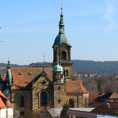
St. Bartholomäus (Pegnitz)
1.5 km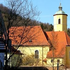
Pfarrkirche
1.5 km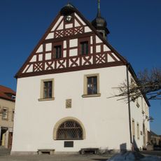
Rathaus
1.5 km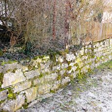
Stadtmauer
1.4 km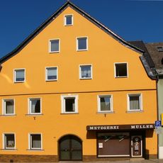
Cultural heritage D-4-72-175-23 in Pegnitz (Stadt)
1.5 km
Cultural heritage D-4-72-175-13 in Pegnitz (Stadt)
1.4 km
Wohn- und Geschäftshaus
1.4 km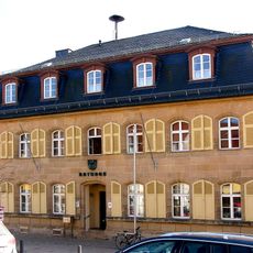
Rathaus
1.4 km
Böheimstein
1.9 km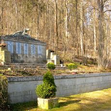
Kriegerdenkmal
1.7 km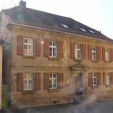
Pfarrhaus
1.4 km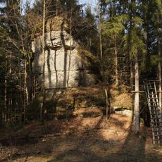
Dolomitturm Zuckerhut SE von Horlach
3.3 km
Cultural heritage D-4-72-175-25 in Pegnitz (Stadt)
1.6 km
Dolomitfels mit Höhle Alter Keller (D241) W von Neudorf
3.4 km
Wasserberg bei Pegnitz
546 m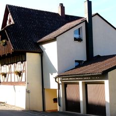
Gerberhaus
1.5 km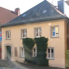
Schulgebäude
1.4 km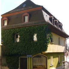
Cultural heritage D-4-72-175-31 in Pegnitz (Stadt)
1.4 km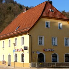
Cultural heritage D-4-72-175-26 in Pegnitz (Stadt)
1.6 km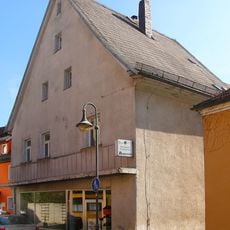
Cultural heritage D-4-72-175-33 in Pegnitz (Stadt)
1.4 km
Cultural heritage D-4-72-175-10 in Pegnitz (Stadt)
1.4 km
Cultural heritage D-4-72-175-24 in Pegnitz (Stadt)
1.6 km
Cultural heritage D-4-72-175-20 in Pegnitz (Stadt)
1.5 km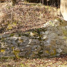
Burgruine
1.9 km
Cultural heritage D-4-72-175-6 in Pegnitz (Stadt)
1.4 kmReviews
Visited this place? Tap the stars to rate it and share your experience / photos with the community! Try now! You can cancel it anytime.
Discover hidden gems everywhere you go!
From secret cafés to breathtaking viewpoints, skip the crowded tourist spots and find places that match your style. Our app makes it easy with voice search, smart filtering, route optimization, and insider tips from travelers worldwide. Download now for the complete mobile experience.

A unique approach to discovering new places❞
— Le Figaro
All the places worth exploring❞
— France Info
A tailor-made excursion in just a few clicks❞
— 20 Minutes