
Ehemaliger Steinbruch SW von Greding, Geotop in Landkreis Roth in Bavaria, Germany
Location: Greding
Elevation above the sea: 486 m
Length: 250 m
Width: 50 m
GPS coordinates: 49.03930,11.34263
Latest update: March 5, 2025 05:26

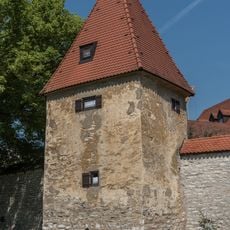
Zeidlerturm
895 m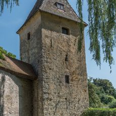
Blasiturm
967 m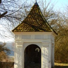
Wegkapelle
902 m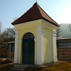
Wegkapelle
845 m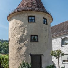
Wilberturm
1 km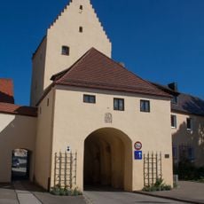
Eichstätter Tor
871 m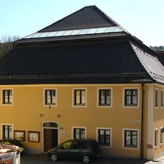
Badergasse 1
941 m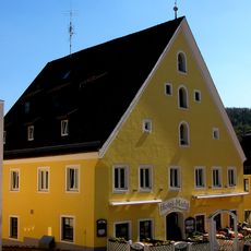
Marktplatz 2
965 m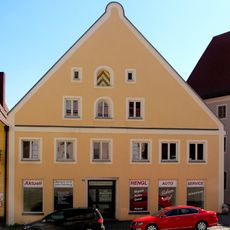
Marktplatz 10
1 km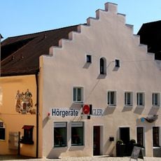
Marktplatz 4
983 m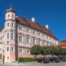
Ehemaliges fürstbischöfliches Schloss, dann Landgericht und Rentamt
1 km
Marktplatz 7
994 m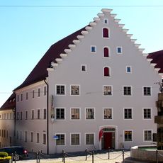
Marktplatz 8
1 km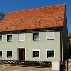
Nürnberger Straße 14
962 m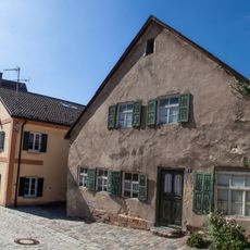
Amtsknechtsgasse 4
1 km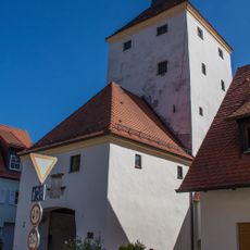
Nürnberger Tor (Greding)
962 m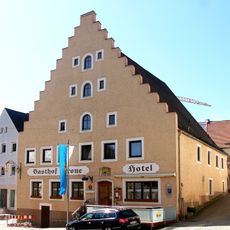
Marktplatz 1
948 m
Marktplatz 12
1 km
Scheune
1 km
Wohnhaus
969 m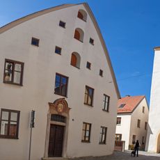
Nürnberger Straße 7
959 m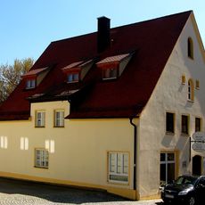
Bahnhofstraße 7
892 m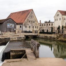
Achmühle
867 m
Bürgerhaus
981 m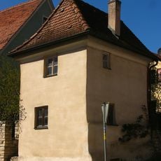
Ehemaliges Wacht- und Zollhaus
962 m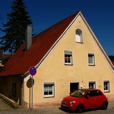
Badergasse 5
976 m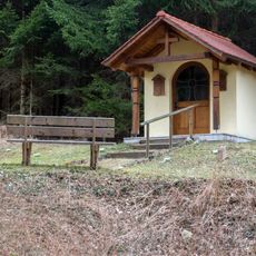
Antoniuskapelle
902 m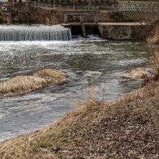
Wehr Achmühle
847 mReviews
Visited this place? Tap the stars to rate it and share your experience / photos with the community! Try now! You can cancel it anytime.
Discover hidden gems everywhere you go!
From secret cafés to breathtaking viewpoints, skip the crowded tourist spots and find places that match your style. Our app makes it easy with voice search, smart filtering, route optimization, and insider tips from travelers worldwide. Download now for the complete mobile experience.

A unique approach to discovering new places❞
— Le Figaro
All the places worth exploring❞
— France Info
A tailor-made excursion in just a few clicks❞
— 20 Minutes