
Aufschluss am Schlossberg bei Weihersberg, Geotop in Landkreis Neustadt a. d. Waldnaab, Lkr. (Stadt) in Bavaria, Germany
Location: Trabitz
Elevation above the sea: 450 m
Length: 10 m
Width: 10 m
Website: http://www.umweltatlas.bayern.de/mapapps/resources/reports/geotope/generateBericht.pdf?additionallayerfieldvalue=374A004
GPS coordinates: 49.78663,11.92612
Latest update: April 9, 2025 22:53
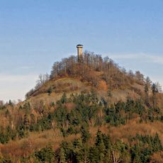
Rauher Kulm
7.2 km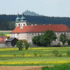
Prämonstratenserkloster Speinshart
7.6 km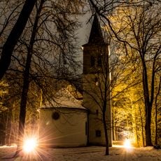
Wallfahrtskirche Maria Hilf
7.5 km
St. Georg
2 km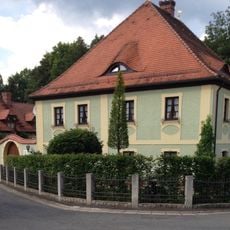
Schloss Zintlhammer
1 km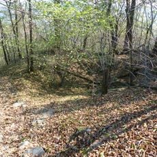
Burgstall Rauhenkulm
7.2 km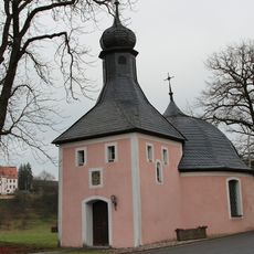
St. Franz von Paula (Weihersberg)
319 m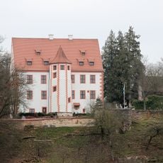
Schloss Weihersberg
60 m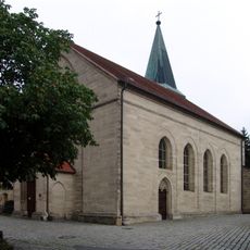
Mariä Himmelfahrt
7.4 km
St. Laurentius
7.6 km
Friedhofkirche Mater Dolorosa
7.3 km
Rathaus Grafenwöhr
7.4 km
Traufseithaus
7.7 km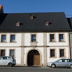
Ackerbürgerhaus
7.7 km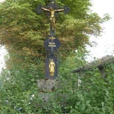
Kruzifix
7.3 km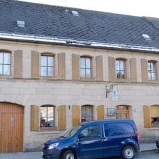
Ackerbürgeranwesen
7.7 km
Immaculata
7.7 km
Haus
7.6 km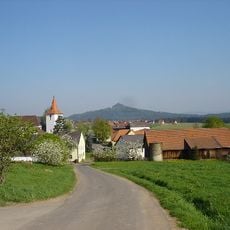
Kirchturm
3.8 km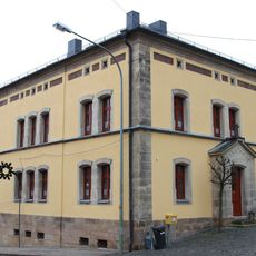
Pfarrhof (Pressath)
2 km
Kruzifix
7.6 km
Gasthof
7.6 km
Altes Schulhaus
2 km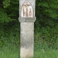
Kreuzweg
7.4 km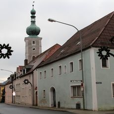
Ehemaliger Gasthof
1.9 km
Haus
7.7 km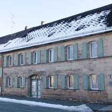
Ackerbürgeranwesen
7.7 km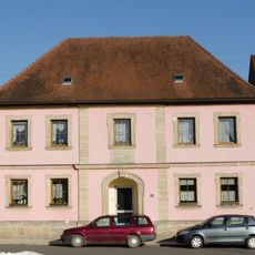
Ehemaliges Gasthaus
7.7 kmReviews
Visited this place? Tap the stars to rate it and share your experience / photos with the community! Try now! You can cancel it anytime.
Discover hidden gems everywhere you go!
From secret cafés to breathtaking viewpoints, skip the crowded tourist spots and find places that match your style. Our app makes it easy with voice search, smart filtering, route optimization, and insider tips from travelers worldwide. Download now for the complete mobile experience.

A unique approach to discovering new places❞
— Le Figaro
All the places worth exploring❞
— France Info
A tailor-made excursion in just a few clicks❞
— 20 Minutes