
Ehemaliger Granitbruch in Büchlberg, Geotop in Landkreis Passau in Bavaria, Germany
Location: Büchlberg
Elevation above the sea: 535 m
Length: 100 m
Width: 100 m
Website: http://www.umweltatlas.bayern.de/mapapps/resources/reports/geotope/generateBericht.pdf?additionallayerfieldvalue=275A032
GPS coordinates: 48.67094,13.51211
Latest update: April 24, 2025 23:33
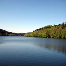
Stausee Oberilzmühle
8.6 km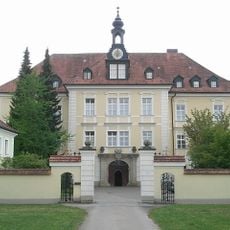
Kloster Thyrnau
6.5 km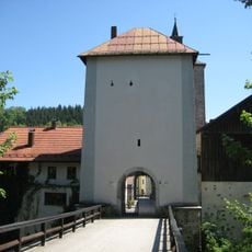
Schloss Fürsteneck
6.1 km
Burg Kaltenstein
7 km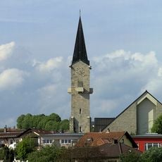
St. Vitus
8.4 km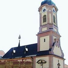
Loretokapelle
6.5 km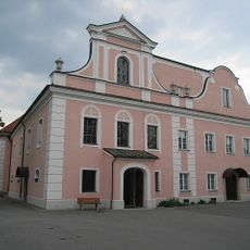
St. Franz Xaver
6.5 km
Cultural heritage D-2-7247-0029 in Büchlberg
4.5 km
Burgstall Gastering
6.3 km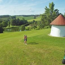
Golfclub Passau Raßbach
7.7 km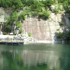
Steinbruch Schachet beim Granitzentrum Hauzenberg
8.4 km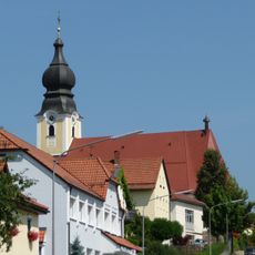
St. Michael
7.6 km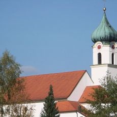
St. Joseph
7.9 km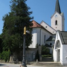
St. Martin
3 km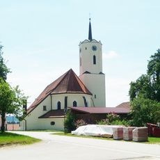
St. Nikolaus parish church
8.8 km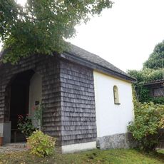
Grabenkapelle
8.7 km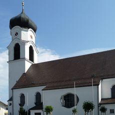
St. Laurentius
4.5 km
Ausstattung der Herz-Jesu-Kirche
8.1 km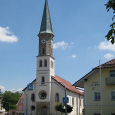
Pfarrkirche St. Ulrich
337 m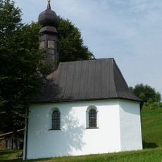
Katholische Wallfahrtskapelle Maria Bründl
8.6 km
Schutz des Landschaftsteils Ilztal im Bereich des Stadt- und des Landkreises Passau
5.4 km
Saußbachleite
8.3 km
Villa
275 m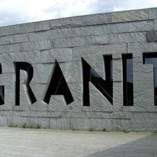
Granitmuseum Bayerischer Wald
8.4 km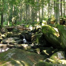
Erlau
5.3 km
Friedhof (Büchlberg)
440 m
Friedhofsmauer Hutthurmer Straße 5 in Büchlberg
439 m
Mariensäule
3 kmReviews
Visited this place? Tap the stars to rate it and share your experience / photos with the community! Try now! You can cancel it anytime.
Discover hidden gems everywhere you go!
From secret cafés to breathtaking viewpoints, skip the crowded tourist spots and find places that match your style. Our app makes it easy with voice search, smart filtering, route optimization, and insider tips from travelers worldwide. Download now for the complete mobile experience.

A unique approach to discovering new places❞
— Le Figaro
All the places worth exploring❞
— France Info
A tailor-made excursion in just a few clicks❞
— 20 Minutes