
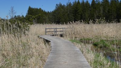
Gebiet um den Elbsee, Gde. Aitrang, protected landscape in Bavaria, Germany
Location: Ostallgäu
Inception: 1955
GPS coordinates: 47.79201,10.55309
Latest update: March 10, 2025 02:32
Räsenmoos
3.4 km
Seelenkapelle (Unterthingau)
3.3 km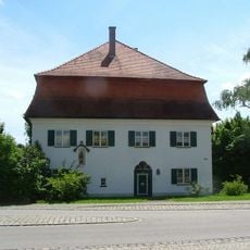
Pfarrhaus
3.1 km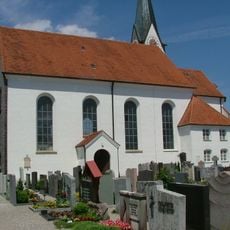
Sankt Ulrich (Aitrang)
3.1 km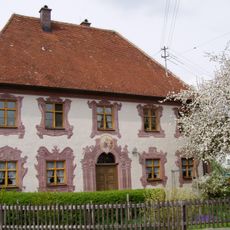
Rectory (Geisenried)
2.6 km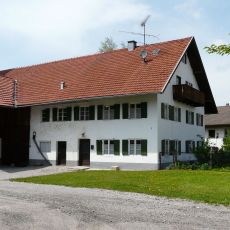
Bauernhaus
2.4 km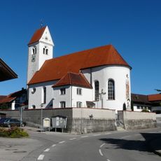
St. Alban and Katharina
2.5 km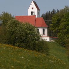
St. Andrew
2.9 km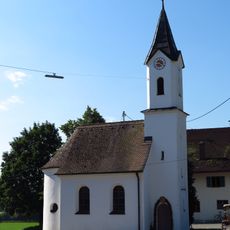
St. Mary's chapel
3.7 km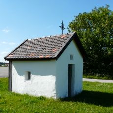
Wegkapelle
2.8 km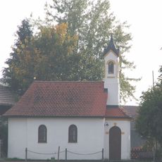
Weibletshofen chapel
3.6 km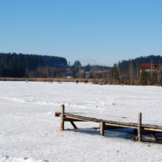
Elbsee
520 m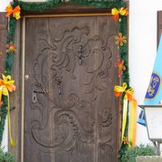
Haustür
2.5 km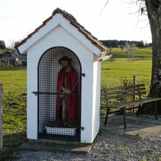
Bildstock
3 km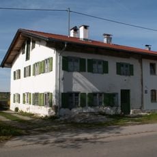
Bauernhaus
3.4 km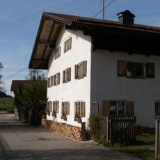
Bauernhaus
3.1 km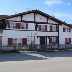
Ehemaliges Kleinbauernhaus
2.8 km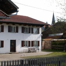
Bauernhaus
3 km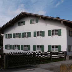
Bauernhaus
2.5 km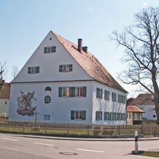
Pfarrhaus
4 km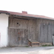
Ehemaliges Bauernhaus
2.5 km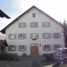
Pfarrhaus
4 km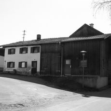
Kleinbauernhaus
3.9 km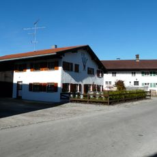
Bauernhaus
2.5 km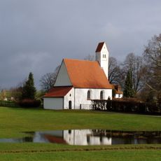
St. Walburga
3.4 km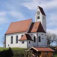
St. Nikolaus
2.9 km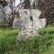
Steinkreuz
3.3 km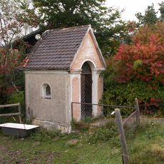
Wayside shrine
2.4 kmReviews
Visited this place? Tap the stars to rate it and share your experience / photos with the community! Try now! You can cancel it anytime.
Discover hidden gems everywhere you go!
From secret cafés to breathtaking viewpoints, skip the crowded tourist spots and find places that match your style. Our app makes it easy with voice search, smart filtering, route optimization, and insider tips from travelers worldwide. Download now for the complete mobile experience.

A unique approach to discovering new places❞
— Le Figaro
All the places worth exploring❞
— France Info
A tailor-made excursion in just a few clicks❞
— 20 Minutes