
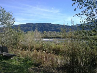
Illerschleife oberhalb Martinszell und unteres Rottachtal
Illerschleife oberhalb Martinszell und unteres Rottachtal, protected landscape in Bavaria, Germany
Location: Oberallgäu
Inception: 1967
GPS coordinates: 47.61859,10.31405
Latest update: April 22, 2025 22:34
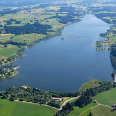
Rottachsee
3.1 km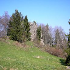
Burg Rettenberg
1.1 km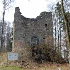
Burg Langenegg
1.6 km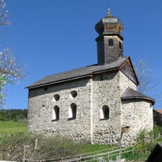
St. Nikolaus
2.1 km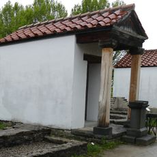
Loja-Kapelle
3 km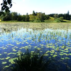
Widdumer Weiher
1.5 km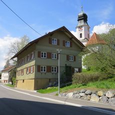
Rectory
1.9 km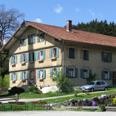
Rectory
1.7 km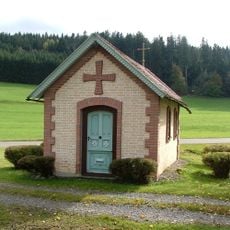
Wegkapelle
3.4 km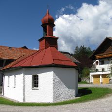
Kapelle
1.7 km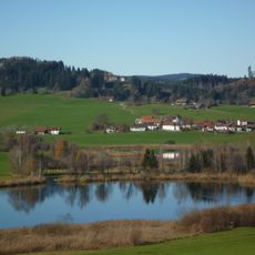
Niedersonthofener See
4.1 km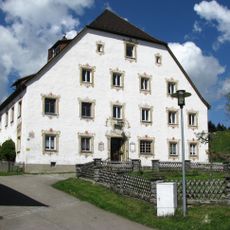
Fürstbischöfliches Amtshaus
1.6 km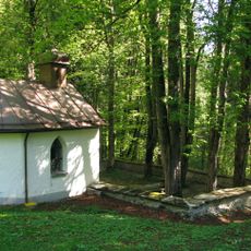
Pestfriedhof Vorderburg
1.7 km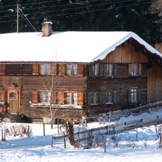
Bauernhaus
3.7 km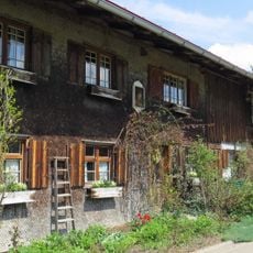
Ehemaliges Bauernhaus
855 m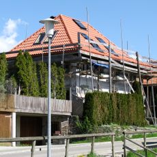
Ehemaliges Kaplanhaus
1.8 km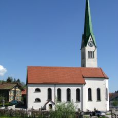
St. Blasius
1.8 km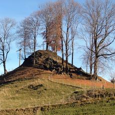
Cultural heritage D-7-8427-0018 in Rettenberg
3.7 km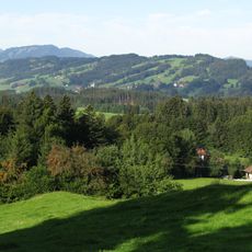
Rottachberg und Rottachschlucht
2 km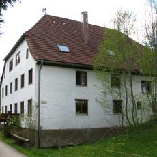
Ehemalige Riedermühle
3.2 km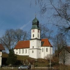
St. Antonius
1.9 km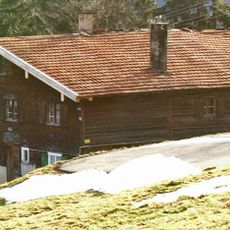
Bauernhaus
2.8 km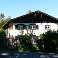
Bauernhaus
823 m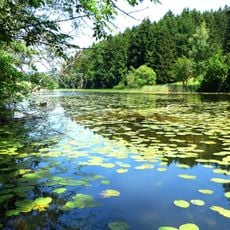
Naturschutzgebiet 'Widdumer Weiher' und Wasenmoos
1.8 km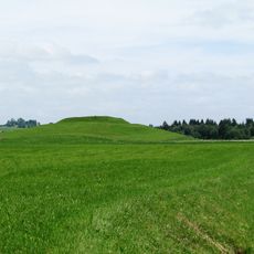
Cultural heritage D-7-8427-0010 in Rettenberg
2.5 km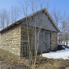
Stadel
4.1 km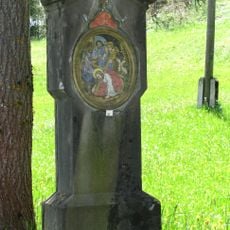
Kreuzwegstationen
1.8 km
Bauernhaus
3.3 kmVisited this place? Tap the stars to rate it and share your experience / photos with the community! Try now! You can cancel it anytime.
Discover hidden gems everywhere you go!
From secret cafés to breathtaking viewpoints, skip the crowded tourist spots and find places that match your style. Our app makes it easy with voice search, smart filtering, route optimization, and insider tips from travelers worldwide. Download now for the complete mobile experience.

A unique approach to discovering new places❞
— Le Figaro
All the places worth exploring❞
— France Info
A tailor-made excursion in just a few clicks❞
— 20 Minutes