
Schweriner Außensee und angrenzende Wälder und Moore, protected area in the European Union defined by the habitats directive in Mecklenburg-Vorpommern, Germany
Location: Nordwestmecklenburg District
Inception: 2004
GPS coordinates: 53.72695,11.46805
Latest update: March 7, 2025 05:56

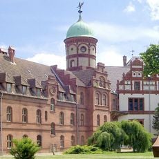
Schloss Wiligrad
2.1 km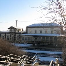
Bad Kleinen
4.4 km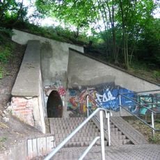
Eiertunnel Bad Kleinen
4.3 km
Church in Zaschendorf
9.7 km
Städtisches Elektrizitätswerk
10.7 km
Friedhof Sachsenberg
8.8 km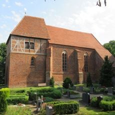
Church in Retgendorf
2.3 km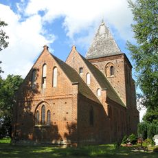
Church in Kirch Stück
6.2 km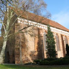
Church in Hohen Viecheln
7.1 km
Dorfkirche Zittow
6.6 km
Gut Leezen
7.5 km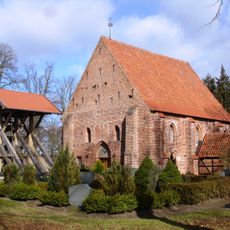
Church in Groß Trebbow
7.4 km
Warnowtal bei Karnin
8.4 km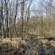
Ramper Moor
4.1 km
Drispether Moor
6.5 km
Church in Dambeck
9.1 km
Church in Alt Meteln
8.7 km
Kapelle Cambs
5.3 km
Stadtbad Schwerin
10.7 km
Warnowseen
10.7 km
Speicher Ziegelsee
10 km
Blick auf Schwerin
10 km
Großsteingrab von Kritzow
10.2 km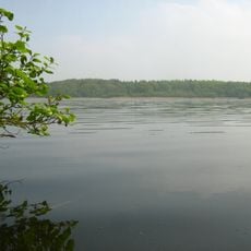
Döpe
7.1 km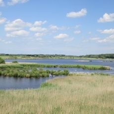
Dambecker Seen
7.8 km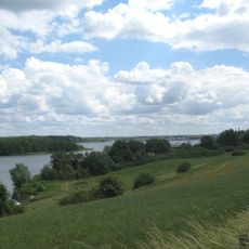
Schweriner Innensee und Ziegelaußensee (Stadt Schwerin)
9.4 km
Schweriner Seenlandschaft im Landkreis Ludwigslust-Parchim
5.5 km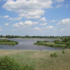
Wald- und Kleingewässerlandschaft Dambecker Seen und Buchholz
7.6 kmReviews
Visited this place? Tap the stars to rate it and share your experience / photos with the community! Try now! You can cancel it anytime.
Discover hidden gems everywhere you go!
From secret cafés to breathtaking viewpoints, skip the crowded tourist spots and find places that match your style. Our app makes it easy with voice search, smart filtering, route optimization, and insider tips from travelers worldwide. Download now for the complete mobile experience.

A unique approach to discovering new places❞
— Le Figaro
All the places worth exploring❞
— France Info
A tailor-made excursion in just a few clicks❞
— 20 Minutes