
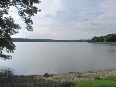
Wariner Seenlandschaft, protected area in the European Union defined by the habitats directive in Mecklenburg-Vorpommern, Germany
Location: Nordwestmecklenburg District
Inception: 2004
GPS coordinates: 53.78022,11.73890
Latest update: March 2, 2025 20:07
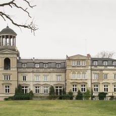
Schloss Kaarz
9.1 km
Monastery in Tempzin
4 km
Schloss Hasenwinkel
7.2 km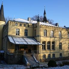
Gutshaus Golchen
9.1 km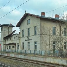
Blankenberg (Meckl) railway station
1.8 km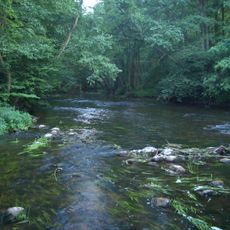
Durchbruchstal der Warnow und Mildenitz
7.4 km
Church in Bibow
6.4 km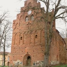
Stadtkirche Brüel
5 km
Church in Warin
3.3 km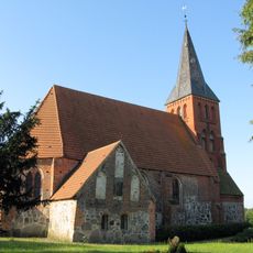
Dorfkirche Qualitz
7.6 km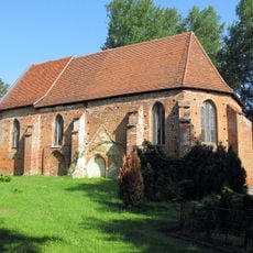
Church in Eickelberg
5.2 km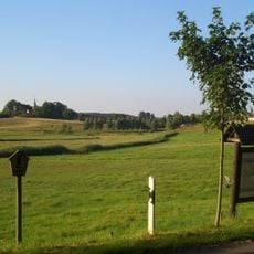
Binnensalzwiese bei Sülten
5.7 km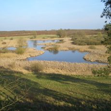
Rothenmoorsche Sumpfwiese
4.4 km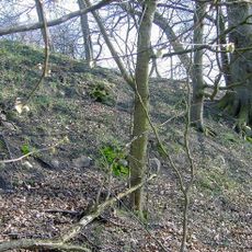
Burgwall Groß Görnow
7.1 km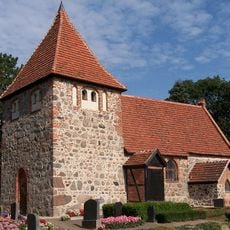
Dorfkirche Laase
5.9 km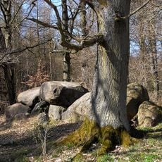
Ganggrab von Klein Görnow
5.2 km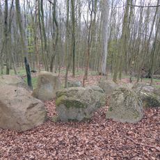
Großsteingrab Mankmoos 2
5.2 km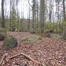
Großsteingrab Mankmoos 1
5.3 km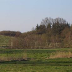
Schanzenberge bei Mankmoos
4.6 km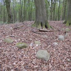
Großsteingrab Rothenmoor 1
3.7 km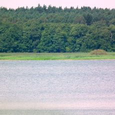
Seengebiet Warin - Neukloster (Nordwestmecklenburg)
3.2 km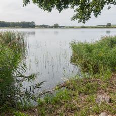
Mittleres Warnowtal (Ludwigslust-Parchim)
7.8 km
Church in Tempzin
4 km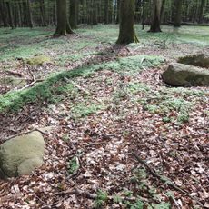
Großsteingrab Rothenmoor 2
3.9 km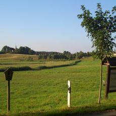
Binnensalzwiese bei Sülten
5.9 km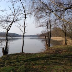
Obere Seen und Wendfeld (bei Sternberg)
9.2 km
Großsteingrab Rothenmoor 3
3.9 km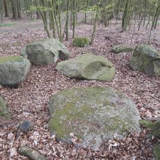
Großsteingrab Mankmoos 3
5.2 kmReviews
Visited this place? Tap the stars to rate it and share your experience / photos with the community! Try now! You can cancel it anytime.
Discover hidden gems everywhere you go!
From secret cafés to breathtaking viewpoints, skip the crowded tourist spots and find places that match your style. Our app makes it easy with voice search, smart filtering, route optimization, and insider tips from travelers worldwide. Download now for the complete mobile experience.

A unique approach to discovering new places❞
— Le Figaro
All the places worth exploring❞
— France Info
A tailor-made excursion in just a few clicks❞
— 20 Minutes