
Verlandungszone Köthener See, protected area in the European Union defined by the habitats directive in Brandenburg, Germany
Location: Märkisch Buchholz
Location: Münchehofe
Inception: 1998
GPS coordinates: 52.07985,13.82743
Latest update: March 28, 2025 09:57
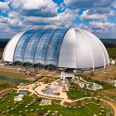
Tropical Islands
7.2 km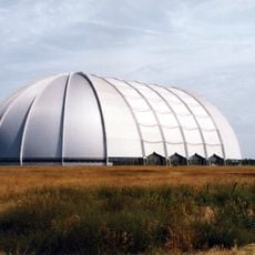
Cargolifter-Luftschiffhalle
7.1 km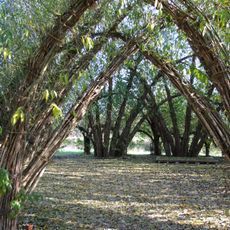
Weidendom Schlepzig
7 km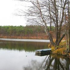
Heideseen
2.4 km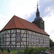
Dorfkirche Schlepzig
7.4 km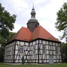
Dorfkirche Krausnick
5.1 km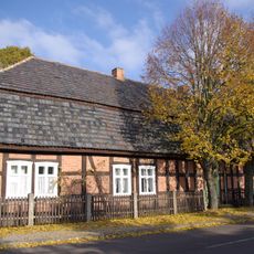
Schlepzig Farm Museum
7.6 km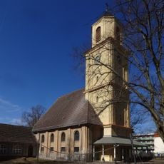
Dankeskirche (Halbe)
9 km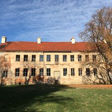
Herrenhaus Münchehofe
7.3 km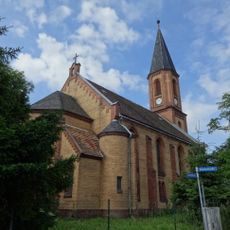
Dorfkirche Oderin
7.1 km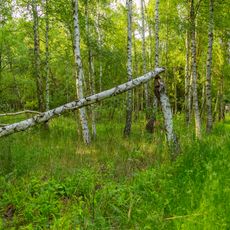
Kockot
6.8 km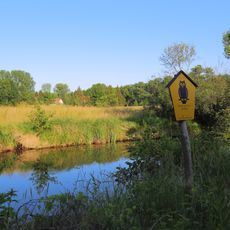
Innerer Unterspreewald
5.2 km
Teurower Wassermühle
7.1 km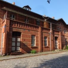
Esperanto Station
9.2 km
Dorfkirche Neu Schadow
6.9 km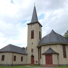
Dorfkirche
4.7 km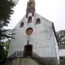
Protestant Church
7.5 km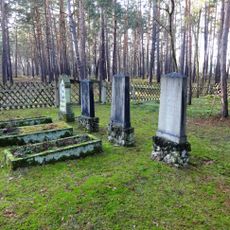
Jewish cemetery, Märkisch Buchholz
5.5 km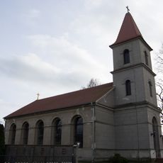
Dorfkirche Kuschkow
9.3 km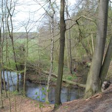
Mahnigsee-Dahmetal
8 km
Petkamsberg
8.8 km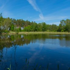
Dürrenhofer Moor
9.2 km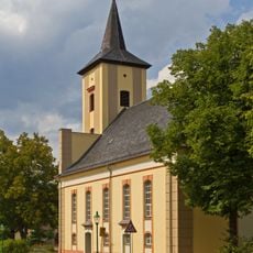
Evangelische Kirche (Märkisch Buchholz)
5.5 km
Buschmühle (Schlepzig)
6.9 km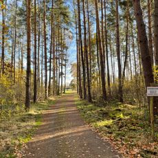
Forsthaus Buchenhain
6.1 km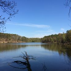
Heideseen
3.5 km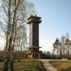
Aussichtsturm Wehlaberg
3 km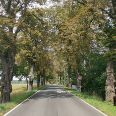
Naturdenkmal Kastanienallee in Oderin
6.8 kmReviews
Visited this place? Tap the stars to rate it and share your experience / photos with the community! Try now! You can cancel it anytime.
Discover hidden gems everywhere you go!
From secret cafés to breathtaking viewpoints, skip the crowded tourist spots and find places that match your style. Our app makes it easy with voice search, smart filtering, route optimization, and insider tips from travelers worldwide. Download now for the complete mobile experience.

A unique approach to discovering new places❞
— Le Figaro
All the places worth exploring❞
— France Info
A tailor-made excursion in just a few clicks❞
— 20 Minutes