
Schwarzer Schöps oberhalb Horscha, protected area in the European Union defined by the habitats directive in Sachsen, Germany
Location: Quitzdorf am See
Location: Waldhufen
Location: Vierkirchen
Location: Reichenbach
Inception: 2002
GPS coordinates: 51.21577,14.76016
Latest update: March 2, 2025 21:19
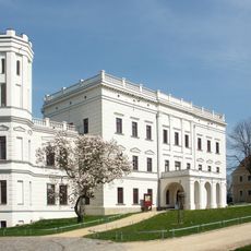
Schloss Krobnitz
4.4 km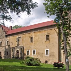
Schloss Döbschütz
2.9 km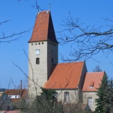
Kirche Nieder Seifersdorf
1.3 km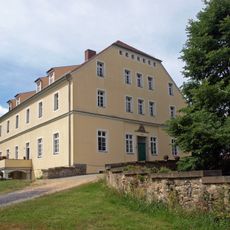
Rittergut Arnsdorf
2.4 km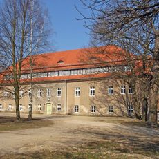
Schloss Jänkendorf
5.2 km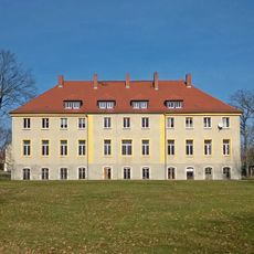
Rittergut Buchholz
4.8 km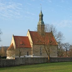
Kirche Arnsdorf
2.9 km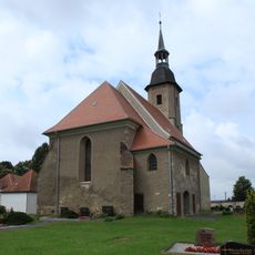
Kirche Diehsa
3.4 km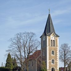
Kirche Tetta
4.3 km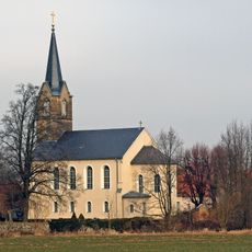
Zum Heiligen Kreuz
5.2 km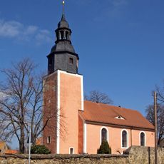
Kirche Melaune
3.2 km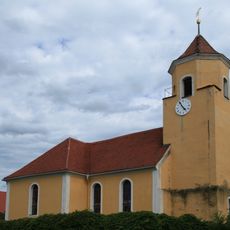
Kirche Jänkendorf
5.2 km
Zigeunerhöhle
4 km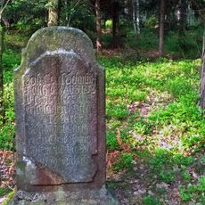
Grabmal (Weg nach Attendorf, 400 Meter vor Straße nach Wiesa; im Wald)
4.4 km
Häusleranwesen Am Poetenteich 1
5.1 km
Kretscham Neucunnewitz
5.2 km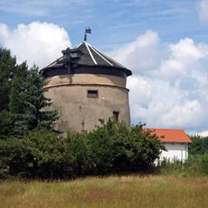
Windmühle Arnsdorf
3.2 km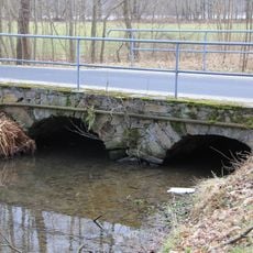
Bruchsteinbrücke An der Scheibe
5.2 km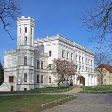
Rittergut Krobnitz
4.4 km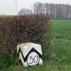
Sächsisch-Preußischer Grenzstein: Pilarpaar Nr. 50
5.2 km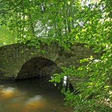
Huhbrücke
3.6 km
Fragment einer Brücke der Autobahn
3.3 km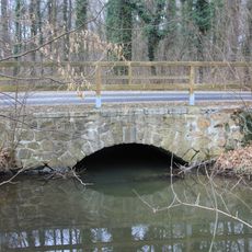
Bruchsteinbrücke Ullersdorfer Straße
5.2 km
Bruchsteinbrücke Rosengasse
5.1 km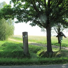
Diehsa, Wegestein Zum Lurchenberg
3.3 km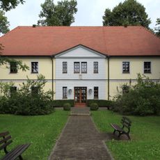
Gewandhaus Diehsa
3.3 km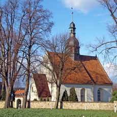
Kirche und Kirchhof Buchholz; Kirche mit Kirchhof, Einfriedungsmauer mit zwei rundbogigen Eingangstoren, Denkmal für die Gefallenen des Ersten Weltkrieges und drei Reihen Soldatengräber Zweiter Weltkrieg Buchholz
4.9 km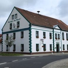
Gasthof Am Markt
3.3 kmReviews
Visited this place? Tap the stars to rate it and share your experience / photos with the community! Try now! You can cancel it anytime.
Discover hidden gems everywhere you go!
From secret cafés to breathtaking viewpoints, skip the crowded tourist spots and find places that match your style. Our app makes it easy with voice search, smart filtering, route optimization, and insider tips from travelers worldwide. Download now for the complete mobile experience.

A unique approach to discovering new places❞
— Le Figaro
All the places worth exploring❞
— France Info
A tailor-made excursion in just a few clicks❞
— 20 Minutes