Labüskewiesen, protected area in the European Union defined by the habitats directive in Brandenburg, Germany
Location: Milmersdorf
Location: Templin
Inception: 1998
GPS coordinates: 53.13128,13.61233
Latest update: November 17, 2025 17:11
Kloster Götschendorf
5.9 km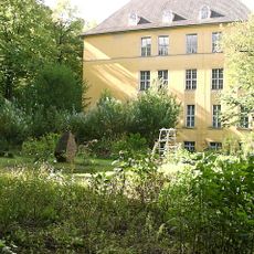
Lehmann-Garten
5.7 km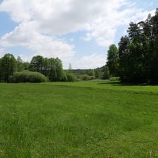
Netzowsee-Metzelthiner Feldmark
6.5 km
Großer Briesensee
3.1 km
Spätmittelalterliche Turmruine am Kölpinsee
4.7 km
Dolgenseen-Ragollinsee
4.4 km
Labüskewiesen
617 m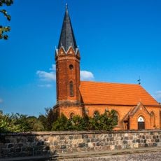
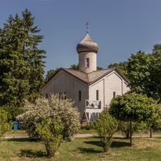
Church in Milmersdorf
2.9 km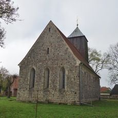
Church in Klosterwalde
5.6 km
Silber Berg
2.4 km
Schmoll-Berg
5.4 km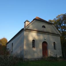
Church in Petznick
3.5 km
Großer Briesensee
3.4 km
Lübbesee
5.2 km
Templiner Seenkreuz
6.5 km
Lübbesee Ergänzung
4.7 km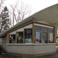
Kiosque Templin
6.6 km
Kölpinsee
2.2 km
Sommer-Galerie-Mistelhof
4.8 km
Badestelle Alimbsmühle
6.4 km
Badestelle Petersdorf
5.9 km
Leuna
4 km
Großer Eichwerder
5.2 km
Strand am Gleuensee
5.1 km
Work of art, sculpture
5.6 km
Friedensmahnmal
4.7 km
Archaeological site
4.7 km
Memorial stone, memorial
2.7 kmReviews
Visited this place? Tap the stars to rate it and share your experience / photos with the community! Try now! You can cancel it anytime.
Discover hidden gems everywhere you go!
From secret cafés to breathtaking viewpoints, skip the crowded tourist spots and find places that match your style. Our app makes it easy with voice search, smart filtering, route optimization, and insider tips from travelers worldwide. Download now for the complete mobile experience.

A unique approach to discovering new places❞
— Le Figaro
All the places worth exploring❞
— France Info
A tailor-made excursion in just a few clicks❞
— 20 Minutes