
Schwarzer Tanger, protected area in the European Union defined by the habitats directive in Brandenburg, Germany
Location: Mescherin
Inception: 1998
GPS coordinates: 53.30684,14.33174
Latest update: March 31, 2025 15:05
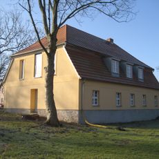
Hospital Penkun
6.1 km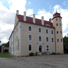
Penkun Castle
6.7 km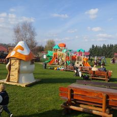
Gospodarstwo Agroturystyczne Smętowice
10.1 km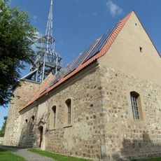
Gedächtniskirche Rosow
3.6 km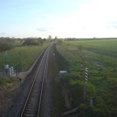
Szczecin Gumieńce-Tantow border crossing
5.9 km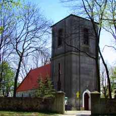
Holy Trinity church in Kołbaskowo
7.9 km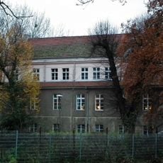
WOP post in Kamieniec
7 km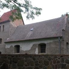
Village church Damitzow
2.2 km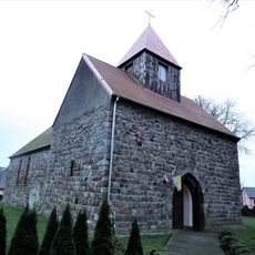
Corpus Christi church in Kamieniec
7.1 km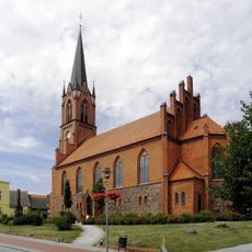
Penkun church
6.3 km
Blockshof
5.6 km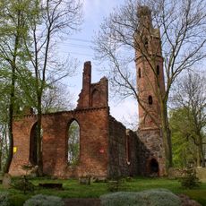
Church ruins in Karwowo
10.1 km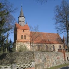
Church in Krackow
6 km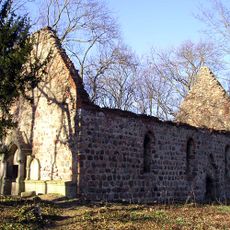
Church ruins in Pargowo
7.2 km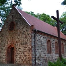
Saint Stanislaus Kostka church in Barnisław
8.2 km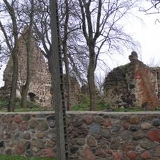
Ruina kościoła w Moczyłach
9.1 km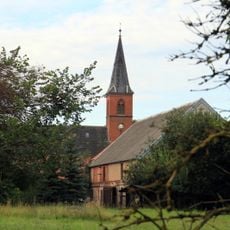
Church in Bagemühl
10.3 km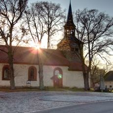
Village church Mescherin
9.4 km
Seeberg (Mescherin)
9.5 km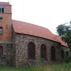
Church in Radekow
1.8 km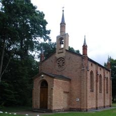
Tantow church
3.8 km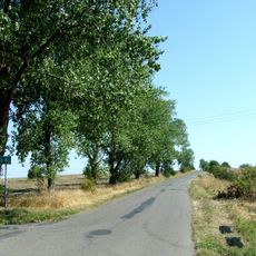
Mała Góra (Wzniesienia Szczecińskie)
10.1 km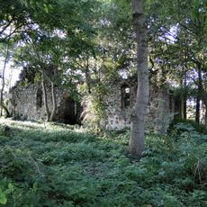
Church ruins in Smolęcin
9 km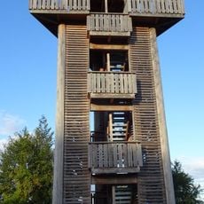
Mescherin Observation Tower
9.2 km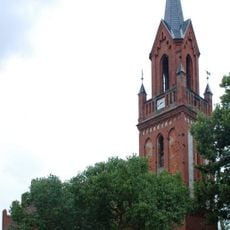
Kirche (Schönfeld bei Gartz)
4.5 km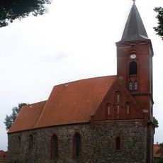
Kirche Hohenreinkendorf
8.6 km
Kirche Nadrensee
3 km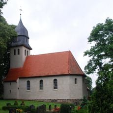
Church in Geesow
6.9 kmReviews
Visited this place? Tap the stars to rate it and share your experience / photos with the community! Try now! You can cancel it anytime.
Discover hidden gems everywhere you go!
From secret cafés to breathtaking viewpoints, skip the crowded tourist spots and find places that match your style. Our app makes it easy with voice search, smart filtering, route optimization, and insider tips from travelers worldwide. Download now for the complete mobile experience.

A unique approach to discovering new places❞
— Le Figaro
All the places worth exploring❞
— France Info
A tailor-made excursion in just a few clicks❞
— 20 Minutes