
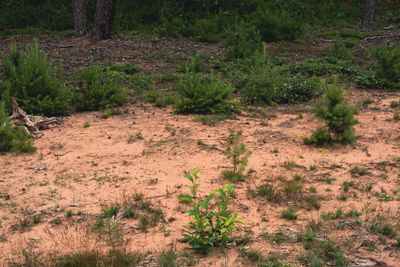
Limbacher Sanddüne, protected area in the European Union defined by the habitats directive in Saarland, Germany
Location: Kirkel
Inception: 2000
GPS coordinates: 49.30371,7.28361
Latest update: March 6, 2025 12:46
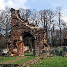
Wörschweiler Abbey
2.8 km
Hollerburg
3 km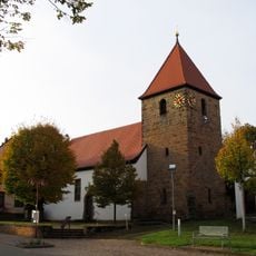
Elisabethkirche (Limbach (Kirkel))
1.6 km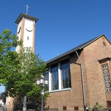
St. Remigius
2.2 km
Gallo-Roman temple at Bierbach
954 m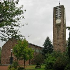
Christuskirche
3.2 km
Mariä Geburt (Schwarzenacker)
3.4 km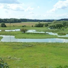
Höllengraben
1.6 km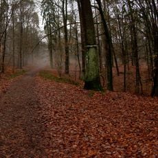
Taubental
1.9 km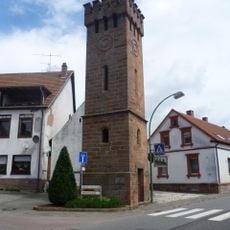
Altstadter Glockenturm
1.8 km
Kühnbruch
2.2 km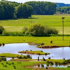
Landschaftsschutzgebiet "Beeder Bruch" (L 6609-308)
1.7 km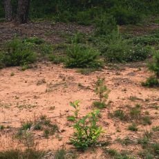
Naturschutzgebiet "Limbacher Sanddüne" (N 6609-306)
57 m
Gackelsberg und Hirschberg suedllich von Limbach
308 m
Beedener Bruch
1.7 km
Bliesaue mit Gruenland, Brachen, Auwaldfragmenten, stehendem und fliessendem Gewaesser, Begleitgehoelz
2.3 km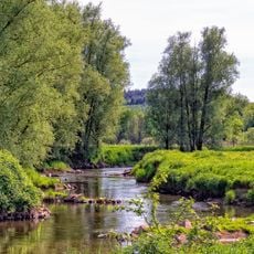
Bliestal von der Kreisgrenze im Norden bis zur Gemeindegrenze im Sueden
942 m
Waldgebiet westlich Woerschweiler mit Gruenland, Brachen und Feldgehoelzen
2.6 km
Edelhof
3.3 km
Bliesberger Hof Brücke
1 km
Woogsacker Mühle
2.8 km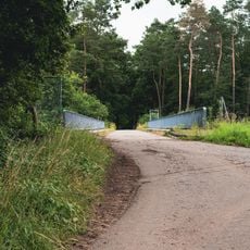
Brücke
310 m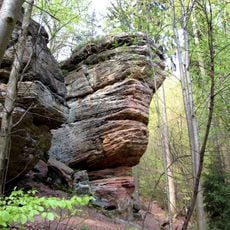
Unglücksfels
3.2 km
Kühnbruch
2.4 km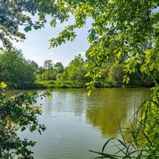
Bliesaue bei Beeden
2 km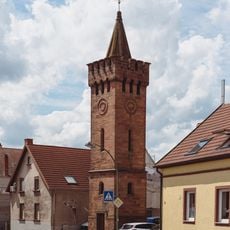
Altstadter Glockenturm
1.8 km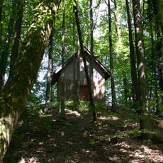
Hügel Gloria Romanorum
2.8 km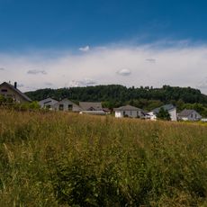
Klosterberg
2 kmReviews
Visited this place? Tap the stars to rate it and share your experience / photos with the community! Try now! You can cancel it anytime.
Discover hidden gems everywhere you go!
From secret cafés to breathtaking viewpoints, skip the crowded tourist spots and find places that match your style. Our app makes it easy with voice search, smart filtering, route optimization, and insider tips from travelers worldwide. Download now for the complete mobile experience.

A unique approach to discovering new places❞
— Le Figaro
All the places worth exploring❞
— France Info
A tailor-made excursion in just a few clicks❞
— 20 Minutes