
Wälder am Hohn, protected area in the European Union defined by the habitats directive in Rheinland-Pfalz, Germany
Location: Dümpelfeld
Location: Reifferscheid
Location: Leimbach
Inception: 2003
GPS coordinates: 50.41730,6.91890
Latest update: July 25, 2025 03:25
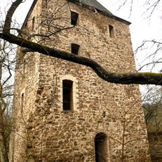
Wensburg
6.6 km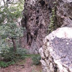
Teufelsley
5.5 km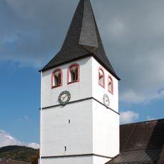
St. Gertrud, Schuld
3.9 km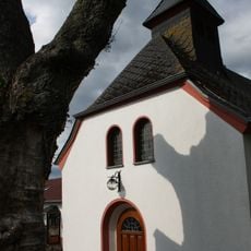
St. Apollinaris
3.2 km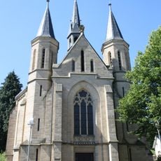
Lady Chapel Adenau
3.8 km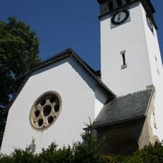
Church of the redeemer
3.9 km
Hand-weaving Museum
6.8 km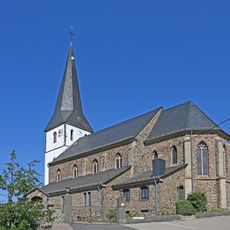
St. Michael (Reifferscheid)
2.9 km
St. Cyriakus (Dümpelfeld)
3 km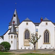
St. John the Baptist
3.9 km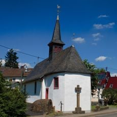
St. Rochus and Sebastian
5.3 km
St. Katharina (Müsch)
7.2 km
St. Josef (Fuchshofen)
4.9 km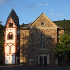
St. Servatius
7.1 km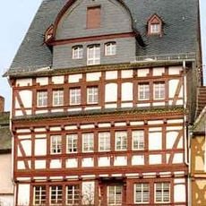
Markt 8
3.9 km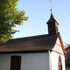
Buttermarktkapelle St. Michael
4.4 km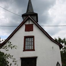
St. Agatha und Lutger (Lückenbach)
938 m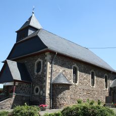
St. Hubertus
6 km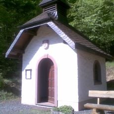
Wallfahrtskapelle Müllenwirft
5.7 km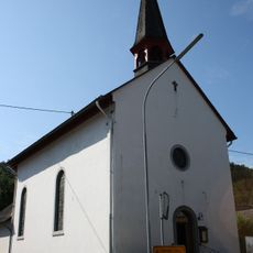
St. Rochus und Sebastian
2.5 km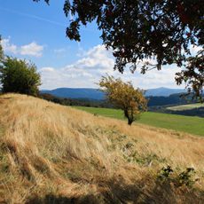
Hürs-Nück
2.4 km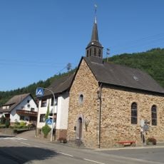
St. Maria Magdalena
1.6 km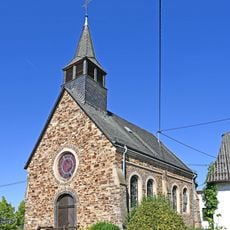
St. Rochus (Rodder)
5 km
Kapelle Walporzheimer Straße (Ahrweiler)
3.9 km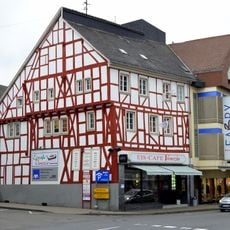
Hauptstraße 86
4 km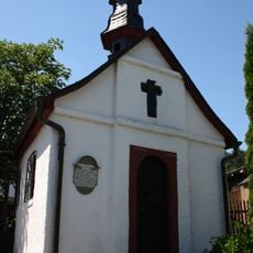
Pefferschöffskapelle
5.6 km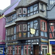
Markt 4
3.9 km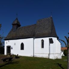
Chapel of St Qurinus
7.1 kmReviews
Visited this place? Tap the stars to rate it and share your experience / photos with the community! Try now! You can cancel it anytime.
Discover hidden gems everywhere you go!
From secret cafés to breathtaking viewpoints, skip the crowded tourist spots and find places that match your style. Our app makes it easy with voice search, smart filtering, route optimization, and insider tips from travelers worldwide. Download now for the complete mobile experience.

A unique approach to discovering new places❞
— Le Figaro
All the places worth exploring❞
— France Info
A tailor-made excursion in just a few clicks❞
— 20 Minutes