
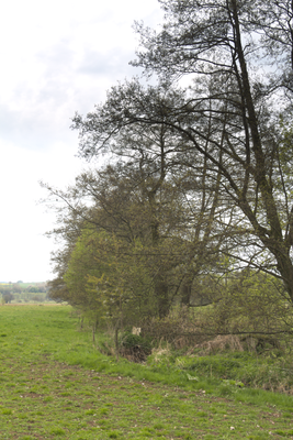
Talauen bei Freiensteinau und Gewässerabschnitt der Salz, protected area in the European Union defined by the habitats directive in Hessen, Germany
Location: Main-Kinzig-Kreis
Inception: 2004
GPS coordinates: 50.39043,9.37238
Latest update: March 2, 2025 20:16
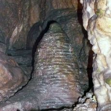
Teufelshöhle
8.3 km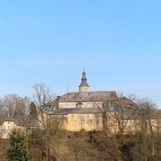
Castle Birstein
6.4 km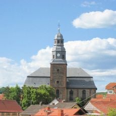
Vogelsberger Dom
4 km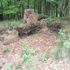
Naxburg
6.7 km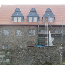
Schloss Freiensteinau
4.3 km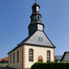
Evangelische Kirche Burgbracht
8.5 km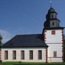
Evangelische Kirche Freiensteinau
4.3 km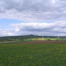
Naxburg (Berg)
6.7 km
Synagoge Lichenroth
6 km
Rabensteiner Grund
3.6 km
St. Maria Rosenkranzkönigin
8.4 km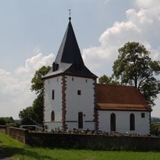
Nikolauskirche Kirchbracht
6.5 km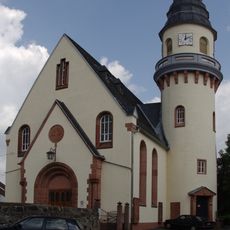
Protestant Church
6.2 km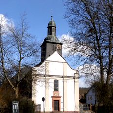
St. Franziskus
8.3 km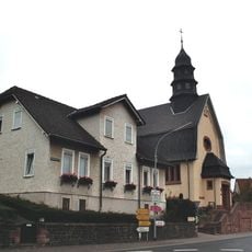
Mariae Heimsuchung
6 km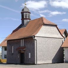
Evangelische Kirche in Gunzenau
8.3 km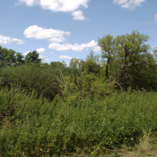
Märzgrund bei Ulmbach
2.5 km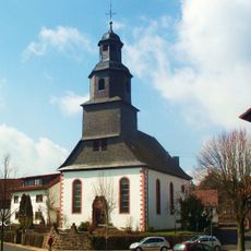
Protestant Church
6.2 km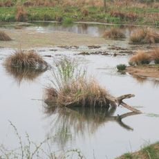
Naturschutzgebiet Graf-Dietrichs-Weiher bei Fischborn
5.7 km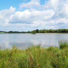
Naturschutzgebiet Ober-Mooser-Teich
7.3 km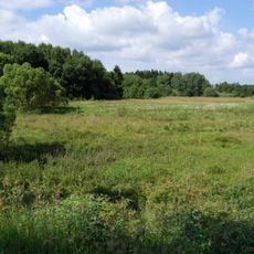
Naturschutzgebiet Mühlwiesen bei Nieder-Moos
8.5 km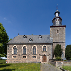
Evangelische Kirche Hintersteinau
7.2 km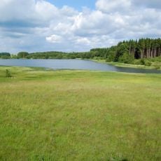
Naturschutzgebiet Reichloser Teich
7.6 km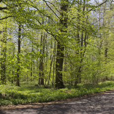
Im Pfaffendriesch bei Freiensteinau
6.1 km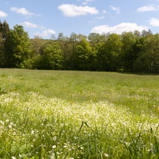
Bruchwiesen bei Salz
5.2 km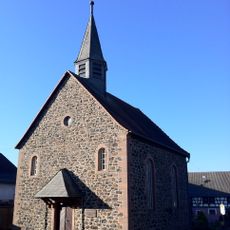
Evangelische Kirche
7.4 km
Schwadelsberg und Seiffertshain bei Marborn
7.7 km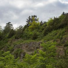
Weinberg bei Steinau
8.7 kmVisited this place? Tap the stars to rate it and share your experience / photos with the community! Try now! You can cancel it anytime.
Discover hidden gems everywhere you go!
From secret cafés to breathtaking viewpoints, skip the crowded tourist spots and find places that match your style. Our app makes it easy with voice search, smart filtering, route optimization, and insider tips from travelers worldwide. Download now for the complete mobile experience.

A unique approach to discovering new places❞
— Le Figaro
All the places worth exploring❞
— France Info
A tailor-made excursion in just a few clicks❞
— 20 Minutes