
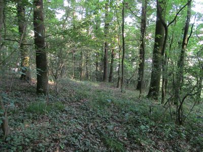
Wald nördlich Niederkaufungen, protected area in the European Union defined by the habitats directive in Hessen, Germany
Location: Landkreis Kassel
Inception: 2003
GPS coordinates: 51.28940,9.59824
Latest update: March 3, 2025 21:47
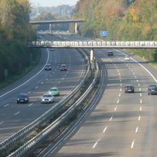
Bundesautobahn 44
4.8 km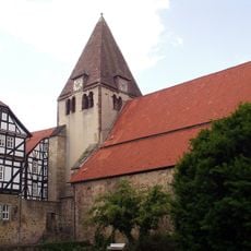
Kaufungen Abbey
2.7 km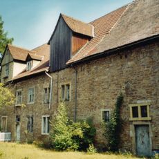
Messinghof
4.1 km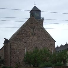
St. Kunigundis
5.5 km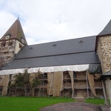
Stiftskirche Kaufungen
2.7 km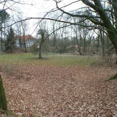
Burg Sensenstein
4 km
Hallenbad Ost
6 km
Gerichtsplatz Vollmarshausen
3.9 km
Johanniskirche
4.8 km
Wasserburg Waldau (Kassel)
5.9 km
Evangelische Kirche Crumbach
4.7 km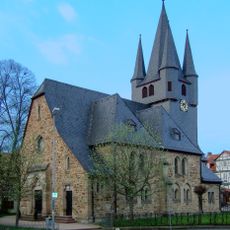
Protestant Church (Wellerode)
5.9 km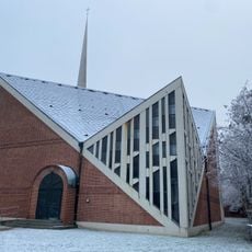
Immanuelkirche
4.1 km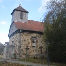
Evangelische Kirche Ochshausen
3.4 km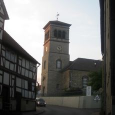
Evangelische Kirche Vollmarshausen
3.9 km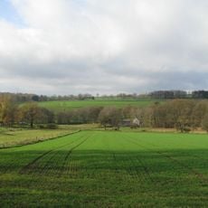
Bachtäler im Kaufunger Wald
5.1 km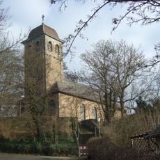
Johanniskirche
6.1 km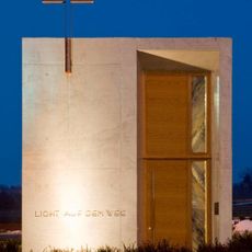
Autobahnkapelle „Licht auf dem Weg“
5.4 km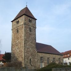
Kirche Waldau
5.9 km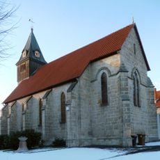
St. Anna
5.7 km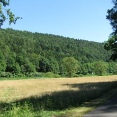
Landschaftsschutzgebiet Mittleres Fuldatal
6 km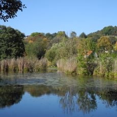
Naturschutzgebiet Fuldaschleuse Wolfsanger
5.2 km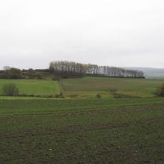
Landschaftsschutzgebiet Lossewiesen bei Niederkaufungen
1.9 km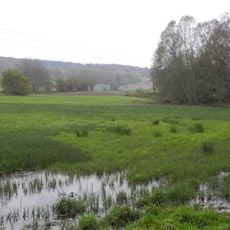
Vollmarshäuser Teiche
2.7 km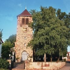
Evangelische Kirche Sandershausen
4.9 km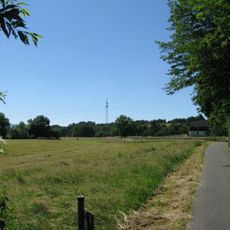
Fuldaschleuse Wolfsanger
5.3 km
Autobahnbrücke
4.8 km
Haus Leipziger Straße 269
725 mVisited this place? Tap the stars to rate it and share your experience / photos with the community! Try now! You can cancel it anytime.
Discover hidden gems everywhere you go!
From secret cafés to breathtaking viewpoints, skip the crowded tourist spots and find places that match your style. Our app makes it easy with voice search, smart filtering, route optimization, and insider tips from travelers worldwide. Download now for the complete mobile experience.

A unique approach to discovering new places❞
— Le Figaro
All the places worth exploring❞
— France Info
A tailor-made excursion in just a few clicks❞
— 20 Minutes