
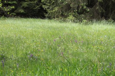
Nemphetal bei Bottendorf, protected area in the European Union defined by the habitats directive in Hessen, Germany
Location: Burgwald
Inception: 1998
GPS coordinates: 51.00505,8.81012
Latest update: March 7, 2025 14:12
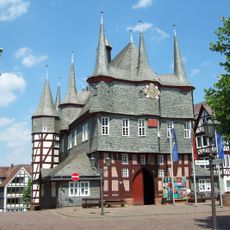
Rathaus Frankenberg
6 km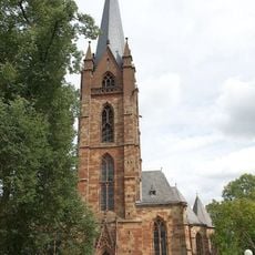
Our Lady Church
6 km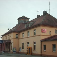
Bahnhof Frankenberg
5.7 km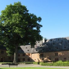
Kloster St. Georgenberg (Frankenberg)
5.9 km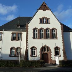
Amtsgericht Frankenberg (Eder)
6.3 km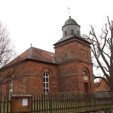
Röddenau
6.1 km
Burg Rosenthal
5.2 km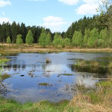
Franzosenwiesen
6.5 km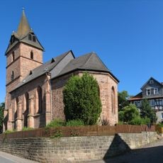
Evangelische Kirche Rosenthal
5.2 km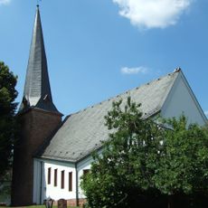
Evangelische Kirche
2.5 km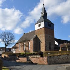
Evangelische Kirche
5.8 km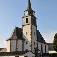
Evangelische Kirche
5.8 km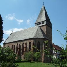
Evangelische Kirche
4.2 km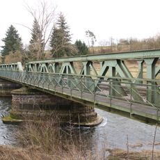
Eisenbahnbrücke über die Eder
5.5 km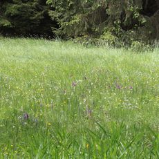
Naturschutzgebiet Nemphetal bei Bottendorf
539 m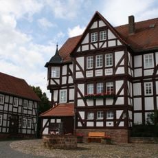
Rathaus
5.3 km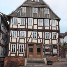
Wohnhaus
6.1 km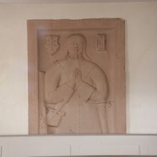
Evangelische Kirche
6.1 km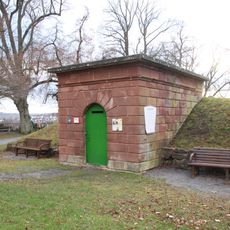
Wasserbehälter
6 km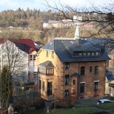
Wohnhaus
5.8 km
Wohnhaus
5.9 km
Erstes lutherisches Pfarrhaus
6 km
Eiche alter Friedhof
6 km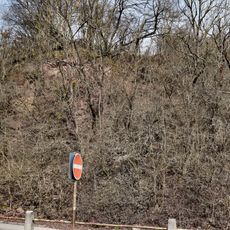
Grauwackefels am Hain
5.8 km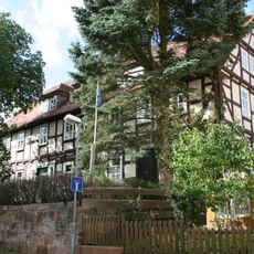
Amtshaus
5.2 km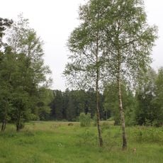
Bruchwiesen von Ernsthausen
5.9 km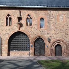
Sachgesamtheit Kloster Georgenberg
5.9 km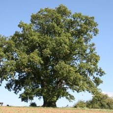
Galgeneiche von Rosenthal
5.6 kmReviews
Visited this place? Tap the stars to rate it and share your experience / photos with the community! Try now! You can cancel it anytime.
Discover hidden gems everywhere you go!
From secret cafés to breathtaking viewpoints, skip the crowded tourist spots and find places that match your style. Our app makes it easy with voice search, smart filtering, route optimization, and insider tips from travelers worldwide. Download now for the complete mobile experience.

A unique approach to discovering new places❞
— Le Figaro
All the places worth exploring❞
— France Info
A tailor-made excursion in just a few clicks❞
— 20 Minutes