
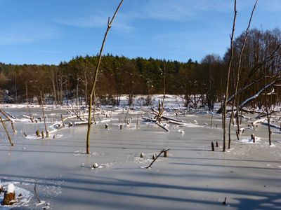
Naturschutzgebiet 'Grubenfelder Leonie', protected area in the European Union defined by the habitats directive in Bayern, Germany
Location: Amberg-Sulzbach
Inception: 2004
GPS coordinates: 49.70289,11.63526
Latest update: March 3, 2025 07:15
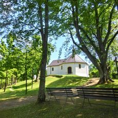
Maria-Hilf-Kapelle
1.5 km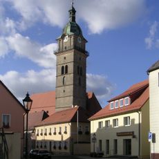
St. Johann Baptist (Auerbach)
1.2 km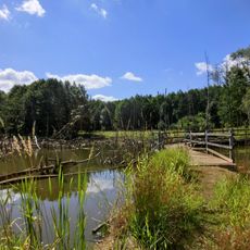
Grubenfelder Leonie
228 m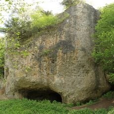
Burgstall Gernotenstein
3.1 km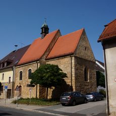
St. Katharina
1.1 km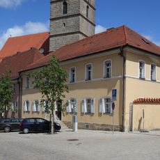
Pfarrhaus in Auerbach in der Oberpfalz
1.3 km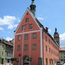
Ensemble Auerbach in der Oberpfalz
1.2 km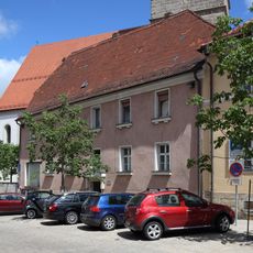
Pfarrstraße 5
1.2 km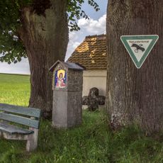
Feldkapelle beim Lohweiher
2.5 km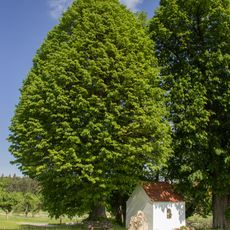
Marienkapelle
2.5 km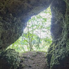
Höhle beim Felslindl
2 km
Unterer Markt 33
1.1 km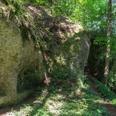
Guckerlochfelsen E von Michelfeld
3 km
Fachwerkbau mit Walmdach
3.4 km
Unterer Markt 8
1.2 km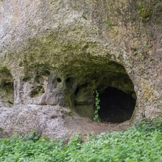
Guckerloch
3 km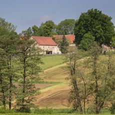
Bauernhaus
2.9 km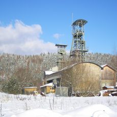
Eisenerzförderanlage der Grube Maffei
2.8 km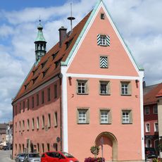
Rathaus
1.2 km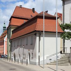
Oberer Marktplatz 12
1.2 km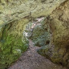
Höhle Felslindl ENE von Saaß (A54)
1.8 km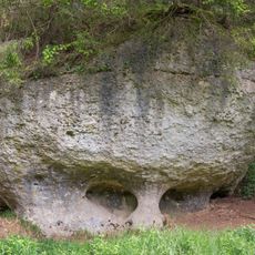
Felsen am Speckbach ENE von Saaß
1.8 km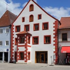
Unterer Markt 34
1.2 km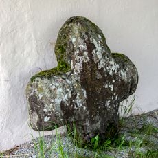
Steinkreuz bei der Poppenkapelle
2.5 km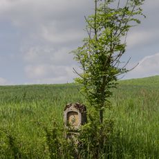
Bildstock Saaß
2.5 km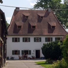
Ehemaliger Hammerhof
3.4 km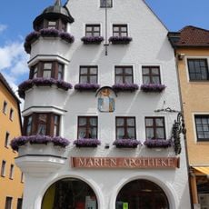
Unterer Markt 31 (Auerbach in der Oberpfalz)
1.1 km
Wegkapelle bei Steinamwasser
3.2 kmReviews
Visited this place? Tap the stars to rate it and share your experience / photos with the community! Try now! You can cancel it anytime.
Discover hidden gems everywhere you go!
From secret cafés to breathtaking viewpoints, skip the crowded tourist spots and find places that match your style. Our app makes it easy with voice search, smart filtering, route optimization, and insider tips from travelers worldwide. Download now for the complete mobile experience.

A unique approach to discovering new places❞
— Le Figaro
All the places worth exploring❞
— France Info
A tailor-made excursion in just a few clicks❞
— 20 Minutes