
Teilbereiche der Ruraue im Stadtgebiet Düren, nature reserve in Germany
Location: Düren
Inception: 1982
GPS coordinates: 50.81058,6.46021
Latest update: March 30, 2025 18:41
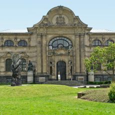
Leopold-Hoesch-Museum
1.7 km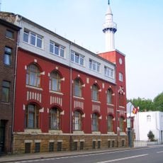
Fatih-Moschee
961 m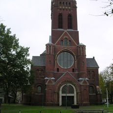
Saint Joachim Church
1.4 km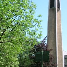
Christuskirche
1.6 km
Schlachthof Düren
857 m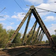
Dreigurtbrücke
1.2 km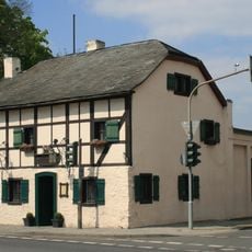
Breuer’s Häuschen
1.5 km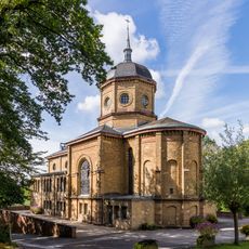
Klinikkirche Herz Jesu
1.6 km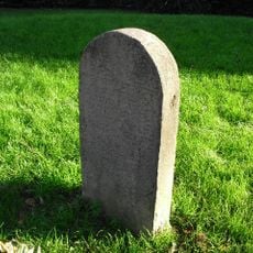
Düren Jewish cemetery
1.7 km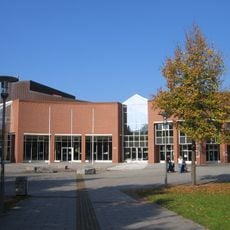
Düren town hall
1.3 km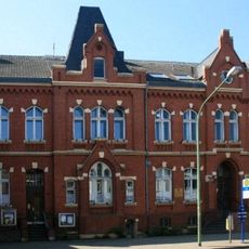
Ehemaliges Rathaus Birkesdorf
1.2 km
Musikschule Düren
1.5 km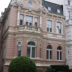
Holzstraße 17 (Düren)
1.5 km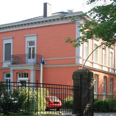
Villa Pytlik
1.2 km
Ehemaliges Direktorenwohnhaus (LVR-Klinik Düren)
1.7 km
Ehemaliges Schulgebäude
1.6 km
Holzstraße 15 (Düren)
1.5 km
Schalthaus
1.3 km
Holzstraße 19 (Düren)
1.5 km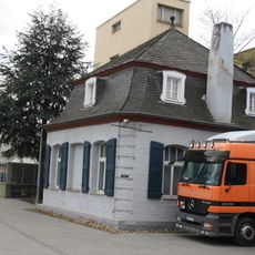
Rokoko-Gartenhaus
1.3 km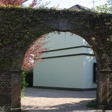
Torbogen Kloster Nazareth
953 m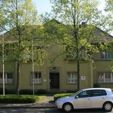
Ehemaliges Bürgermeisteramt
1.3 km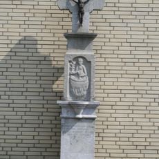
Johanneskreuz
1.6 km
Eckhaus Karlstraße/Neue Jülicher Straße
1.1 km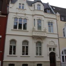
Holzstraße 35 (Düren)
1.4 km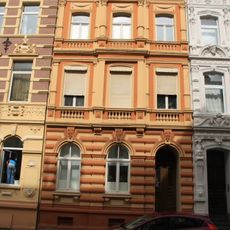
Holzstraße 68 (Düren)
1.4 km
Holzstraße 31 (Düren)
1.5 km
Rheinstraße 1
1.1 kmReviews
Visited this place? Tap the stars to rate it and share your experience / photos with the community! Try now! You can cancel it anytime.
Discover hidden gems everywhere you go!
From secret cafés to breathtaking viewpoints, skip the crowded tourist spots and find places that match your style. Our app makes it easy with voice search, smart filtering, route optimization, and insider tips from travelers worldwide. Download now for the complete mobile experience.

A unique approach to discovering new places❞
— Le Figaro
All the places worth exploring❞
— France Info
A tailor-made excursion in just a few clicks❞
— 20 Minutes