
Teiche und Feuchtflächen im Aischgrund, Weihergebiet bei Mohrhof
Teiche und Feuchtflächen im Aischgrund, Weihergebiet bei Mohrhof, protected area in the European Union defined by the habitats directive in Bayern, Germany
Location: Erlangen-Höchstadt
Inception: 2004
GPS coordinates: 49.68667,10.88575
Latest update: March 3, 2025 21:03

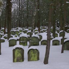
Jewish cemetery, Zeckern
3.3 km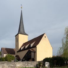
St. Matthäus
641 m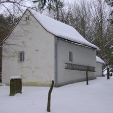
Taharahaus
3.3 km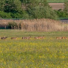
Feuchtwiesen Ziegenanger bei Neuhaus
1.2 km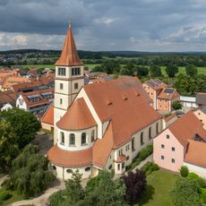
St. Stephanus
3.1 km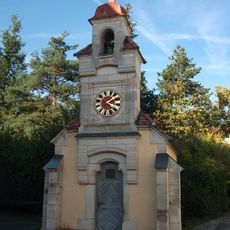
Kapelle Neuhaus
964 m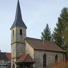
Katholische Kapelle St. Ottilia
3.5 km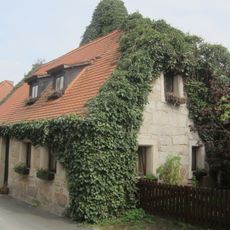
Blumengasse 6 (Adelsdorf)
3.3 km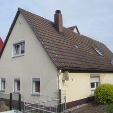
Schafgasse 3
3 km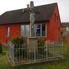
Wegkreuz östlicher Ortseingang
3.5 km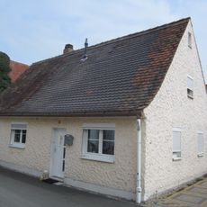
Blumengasse 4
628 m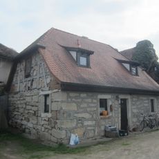
Blumengasse 8
3.3 km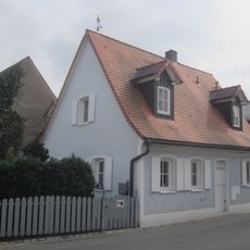
Schafgasse 7
3 km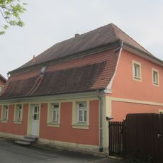
Erlanger Straße 14
3.1 km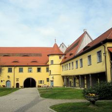
Schloss Adelsdorf
3.1 km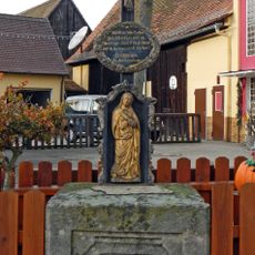
Kruzifix
3.4 km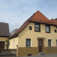
Höchstadter Straße 2
3.2 km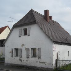
Höchstadter Straße 3
3.2 km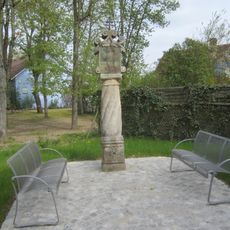
Marter bei Hauptstraße 23
3.1 km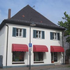
Hauptstraße 5
3.2 km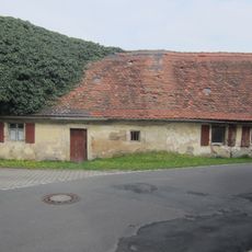
Alte Burgstraße 10
3.4 km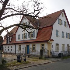
Wohnstallhaus mit Mansarddach
3.5 km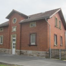
Erlanger Straße 16
3.1 km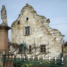
Bau mit Schweifgiebel
3.5 km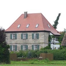
Altes Forsthaus
3.5 km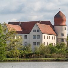
Wasserschloss
988 m
Moorweiher im Aischgrund und in der Grethelmark
2.8 km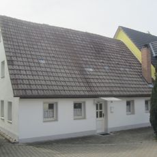
Hauptstraße 26
3.1 kmReviews
Visited this place? Tap the stars to rate it and share your experience / photos with the community! Try now! You can cancel it anytime.
Discover hidden gems everywhere you go!
From secret cafés to breathtaking viewpoints, skip the crowded tourist spots and find places that match your style. Our app makes it easy with voice search, smart filtering, route optimization, and insider tips from travelers worldwide. Download now for the complete mobile experience.

A unique approach to discovering new places❞
— Le Figaro
All the places worth exploring❞
— France Info
A tailor-made excursion in just a few clicks❞
— 20 Minutes