
Unteres Isartal zwischen Niederviehbach und Landau
Unteres Isartal zwischen Niederviehbach und Landau, protected area in the European Union defined by the habitats directive in Bayern, Germany
Location: Dingolfing-Landau
Inception: November 2004
GPS coordinates: 48.65100,12.53500
Latest update: March 8, 2025 02:06
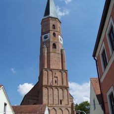
St. Johannes
3.7 km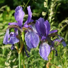
Königsauer Moos
2.7 km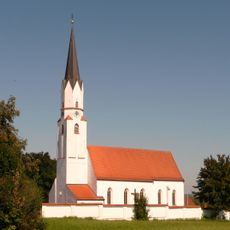
St. Stephan (Gottfrieding)
1.5 km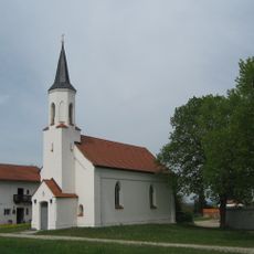
Filialkirche Sieben Schmerzen Mariens
3.3 km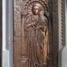
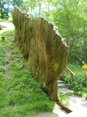
Grabstein für Anna Ecker
3.7 km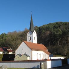
St. Laurentius, Frichlkofen
3.5 km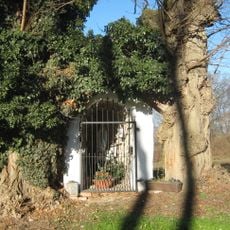
Golding-Lourdesgrotte
2.4 km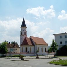
Katholische Filialkirche St. Antonius
3.3 km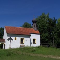
Katholische Filialkirche St. Laurentius
2.5 km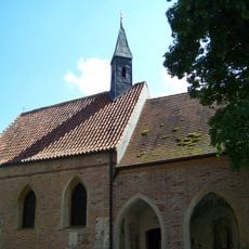
Dreifaltigkeitskapelle
3.7 km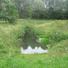
Schutz von Landschaftsteilen in der Stadt Dingolfing, dem Markt Teisbach, sowie den Gemeinden Gottfrieding, Loiching, Mamming und Niederviehbach im Landkreis Dingolfing (LSG Isartal)
3.7 km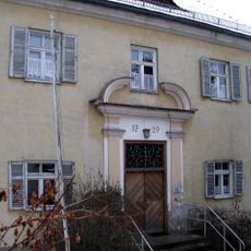
Pfarrhof
3.7 km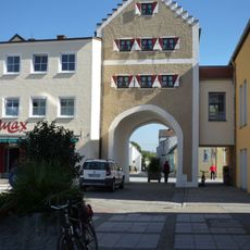
Wollertor
3.5 km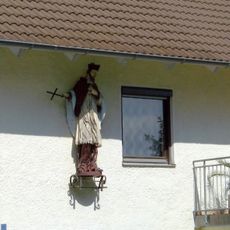
Heiligenfigur
3.8 km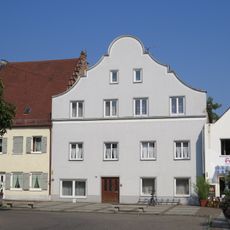
Bürgerhaus
3.5 km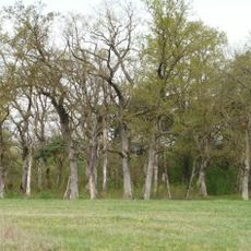
Rosenau
3.3 km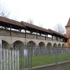
Ehemaliges Amtsgerichtsgebäude
3.8 km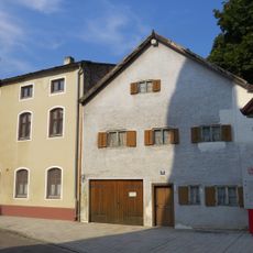
Doppelwohnhaus
3.8 km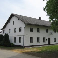
Gasthaus
3.6 km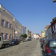
Brauereigasthof Alte Post
3.7 km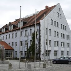
Obere Stadt 1
3.8 km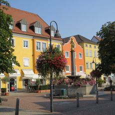
Mariensäule
3.6 km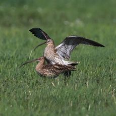
Wiesenbrütergebiete im Unteren Isartal
1.5 km
Wohnhaus
3.8 km
Stadel
3.8 km
Bürgerhaus
3.7 km
Ehem. Gastwirtschaft und Bürgerhaus
3.7 km
Wohnstallhaus
3.5 kmVisited this place? Tap the stars to rate it and share your experience / photos with the community! Try now! You can cancel it anytime.
Discover hidden gems everywhere you go!
From secret cafés to breathtaking viewpoints, skip the crowded tourist spots and find places that match your style. Our app makes it easy with voice search, smart filtering, route optimization, and insider tips from travelers worldwide. Download now for the complete mobile experience.

A unique approach to discovering new places❞
— Le Figaro
All the places worth exploring❞
— France Info
A tailor-made excursion in just a few clicks❞
— 20 Minutes